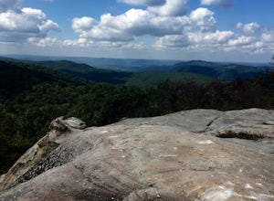
Williamsburg, Kentucky
Looking for the best chillin in Williamsburg? We've got you covered with the top trails, trips, hiking, backpacking, camping and more around Williamsburg. The detailed guides, photos, and reviews are all submitted by the Outbound community.
Top Chillin Spots in and near Williamsburg
-
McCreary County, Kentucky
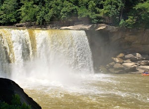
Photograph Cumberland Falls
5.0The Cumberland Falls State Resort Park is home to several waterfalls, with the Cumberland Falls being the largest, most prominent, and most well known. It is also called the Niagara of the South due to its size and volume of water flow. It is famous for being the only place in the Western Hemisph...Read more -
Parkers Lake, Kentucky
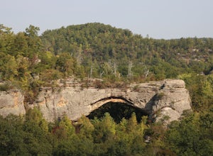
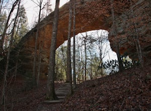
Hike to Natural Arch in Daniel Boone National Forest
1 mi / 300 ft gainNatural Arch is located in the Daniel Boone National Forest near the border of Tennessee and Kentucky. Once you get inside of the park there are many picnic tables and other areas to eat and sit and paths to walk on. The main attraction of the park however is the 100 foot wide arch that spans ove...Read more -
Unnamed Road, Tennessee
Hike to Hatfield Knob Elk Viewing Tower
1 mi / 200 ft gainHIGHLY RECOMMENDED TO HAVE A 4WD VEHICLE OR ALL WHEEL DRIVE. The road to the trail-head can be very dangerous at times because of mud and debris, because of this an all wheel drive at least is very useful if you only have a 2WD car or truck I suggest only going in dry conditions. When you get t...Read more -
Pineville, Kentucky
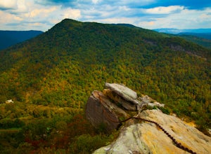
Explore the Lookout from Chained Rock
5.0Located just north of the Cumberland Gap, Chained Rock is a local landform made unique by a long slung chain that comes with a tall tale of it's creation. According to legend the rock pinnacle overlooking the Cumberland River valley struck fear into the minds of young children, which was eased wi...Read more -
Oneida, Tennessee
Paddle the Big South Fork of the Cumberland River
This is an awesome trip because it allows you get a little taste of what it could have been like to explore the nation by waterway hundreds of years ago. Paddling as a means of traveling is an ancient practice. You are able to glide through nature, more a part of it rather than an unwelcome intru...Read more -
Oneida, Tennessee
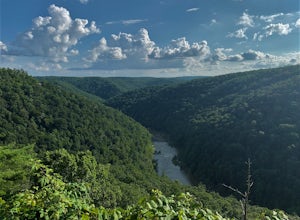
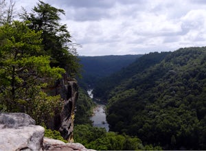
Short hike to East Rim Overlook
0.2 mi / 50 ft gainThis trail is located in Big South Fork National Recreation Area. This is more of a walk than a hike. The entire trail is paved except for the wooden boardwalk overlook at the end. The overlook shows the gorgeous views of the river valley and some of the rock formations in the area. The trail is ...Read more -
Oneida, Tennessee
Backpack to Angel Falls Overlook in the Big South Fork
4.06.4 mi / 800 ft gainStarting at a very small parking space, you head onto a fairly overgrown trail for half a mile. The trail then begins to thin out and is not as overgrown. Keeping a steady incline, you almost instantly feel the burn in your calves. At around 2 miles in, there is a single grave from a baby that l...Read more -
Jamestown, Tennessee
Twin Arches Loop
1.22 mi / 177 ft gainThe trail starts at the parking lot which has some nice bathrooms and a nice small picnic area that is open year-round. From the trailhead, you will follow the signs that will lead you to a short mostly flat, 7-mile hike to the first arch. Once you get to the first arch there is a small area with...Read more -
Jamestown, Tennessee
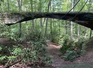
Natural Bridge Loop
1.05 mi / 148 ft gainThis trail is located in Pickett State Park which is a close neighbor to Big South Fork National Recreation Area. This is one of the many trailheads that connect to the Natural Bridge loop however, this trailhead is the closest to the natural bridge. From the road it is only a few hundred feet wa...Read more -
Jamestown, Tennessee
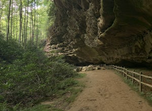
Hike to Indian Rockhouse
0.4 mi / 65 ft gainThis hike is a great, short hike for all ages. It shows the sandstone formation of the area very well and features a large cliff, an overhang, and a small stream at the bottom. The hike is only 0.4 of a mile total and has a small elevation change. It is probably the easiest hike in this area. Th...Read more -
Jamestown, Tennessee
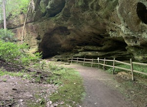
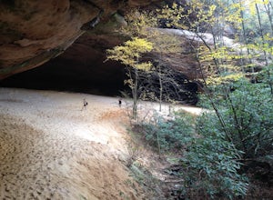
Hazard Cave Loop
5.01.51 mi / 210 ft gainHazard Cave is a gorgeous very large sandstone formation. The hike is located in Pickett State Park which is right next to Big South Fork National Recreation Area. This hike is the shortest option to get to Hazard Cave. If you are looking for a longer hike you can take the entire loop hike to get...Read more -
Jamestown, Tennessee
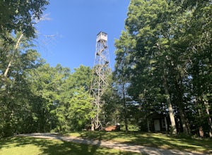
Explore Pickett State Fire Tower
This tower was built by the CCC in the 1930s. The tower is easy to climb and safer than most fire towers. The top of the tower is open so you can get a 360 degree view of the surrounding area. The tower is located within the Pickett State Park and is right on the side of the road and has easy acc...Read more -
Maynardville, Tennessee
Photograph the Maynardville Fire Tower
3.5The maynardville fire tower is one that anyone can go too since you can drive straight to the base of it. From the base however there are about 100 steep stairs to the top. On the way up you will need to be extra careful because it is very old and was never built for safety. When you get to the t...Read more -
Jamestown, Tennessee
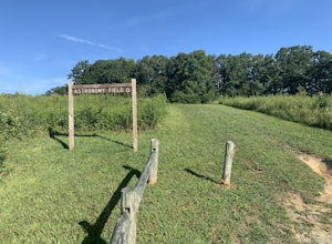
Stargaze at Astronomy Field
This Dark Sky Park is a part of the Pickett State Park. It was established in 2015. It is one of the only IDA registered dark sky parks in the east. I have been all over the United States stargazing and this is still one of the best spots I have been to. The astronomy field offers a free and easi...Read more -
Ewing, Virginia
Hike to the Sand Caves
4.78 mi / 2000 ft gainAfter a 2.5 mi hike up the Ewing Trail, you will reach the Ridge Trail. Go left for approximately 1 mi until you reach a landing for horses. Another 0.25 mi down the trail, you will encounter some steep wooden steps as well as several slippery boulders. Depending on recent weather and season, you...Read more -
Ewing, Virginia
Hike to White Rocks
5.06 mi / 1500 ft gainStarting at the Ewing Trailhead, in Ewing, VA, you will meander up the ridge for about 2.5 mi before meeting up with Ridge Trail. The ascent is approximately 1500 ft up the side of the majestic White Rock Ridge. Mud, loose rocks, and some very steep climbs are included.Once at the top, left takes...Read more

