Rising Fawn, Georgia
Top Spots in and near Rising Fawn
-
Summerville, Georgia
Hike the Marble Mine Trail
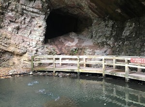
4.31.7 mi / 200 ft gainThis 1.7 mile loop is almost entirely on a wide pebbled road making this hike perfect for getting families and friends outdoors. Though there is some elevation gain, the Marble Mine Loop is quite an easy walk. Go during the Fall and the trees are boasting all the reds, oranges, and yellows of the...Read more -
Fort Payne, Alabama
Swim at Little Falls (Martha's Falls)
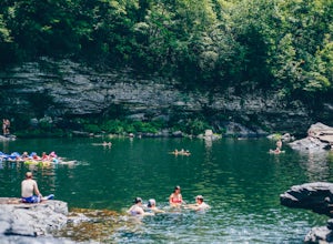
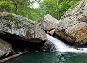
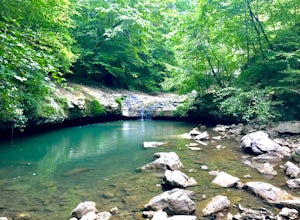
4.41.5 miLittle Falls, also referred to as Martha Falls and the “Hippie Hole” by the locals, is a popular swimming hole a part of Little River Canyon National Preserve, located along the state line of Alabama and Georgia. Perks include free parking and free admission. Drive up Lookout Mountain and pull i...Read more -
Fort Payne, Alabama
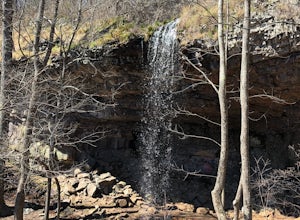
Explore Little River Falls
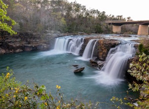
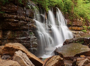
4.0Little River Falls is a popular site within the Little River Canyon National Preserve, a 12 mile long, 600 ft deep canyon.The 45-foot falls can be accessible from two different vantage points – either via a paved but steep path from the parking lot down to an overlook, or by driving to a higher l...Read more -
Fort Payne, Alabama
Little River Canyon
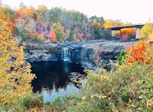
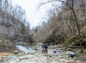
1.33 mi / 180 ft gainLittle River Canyon is a loop trail that takes you by a waterfall located near Fort Payne, Alabama.Read more -
Chattanooga, Tennessee
Hike and Swim at the Middle Creek Slide
3.04 mi / 200 ft gainYou park just west of the map waypoint on the wide shoulder (remember to lock your car, thefts have been reported in this area). The trailhead is really just an opening on the side of the road. Follow this to the creek and start making your way along the rocks upstream. The difficulty of the cl...Read more -
Chattanooga, Tennessee
Hike to Middle Creek Falls
3.50.5 miMiddle Creek Falls, despite its proximity to the Cumberland Trail hikes, has no official designated trail. However, there is a pull-off on Suck Creek Road (informally marked by graffiti and bumper stickers adorning the guard rail) with room on either side of the street to park. The trail begins ...Read more -
Chattanooga, Tennessee
Snoopers Rock Trail
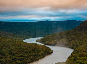
5.05.79 mi / 1339 ft gainSnoopers Rock Trail is an out-and-back trail that takes you by a river located near Chattanooga, Tennessee.Read more -
Signal Mountain, Tennessee
Hike to Edwards Point
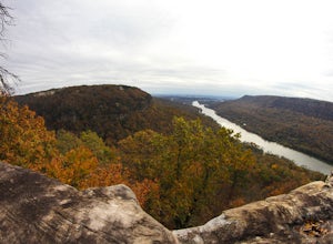
4.75.8 mi / 50 ft gainThe Signal Point to Edwards Points trail serves as the southernmost leg of the Cumberland Trail, winding through part of the Chickamauga and Chattanooga National Military Park. From the initial Signal Point overlook, the path descends into Middle Creek Gorge, passes through the Rainbow Lake Wilde...Read more -
Signal Mountain, Tennessee
Hike to Rainbow Falls
4.75.7 mi / 1500 ft gainMost Rainbow Lake Trail hikers have seen or heard the majestic Rainbow Falls, but fewer have ventured down the treacherous path to the falls themselves. Albeit a bit daunting, especially if there has been recent rain, the path from Rainbow Lake Trail down to Rainbow Falls is a rewarding trek for ...Read more -
LaFayette, Georgia
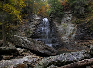
Hike to Keown Falls
1.8 mi / 450 ft gainKeown Falls Trail is a moderate loop perfect for a Spring day (especially after those April showers). The trailhead is located in the Keown Falls picnic area which is very spacious spotted with several picnic tables. This would be a great place for a family gathering and is spacious enough that ...Read more -
Scottsboro, Alabama
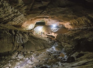
Explore Tumbling Rock Cave
5.02.4 mi / 200 ft gainAs Tumbling Rock Cave is a private property owned and controlled by SCCI, a permit is required to access the cave. Permits can only be applied for online here, and once granted, SCCI will provide the exact location of the cave. Caving is not only an inherently dangerous activity due to difficul...Read more -
Sequatchie, Tennessee
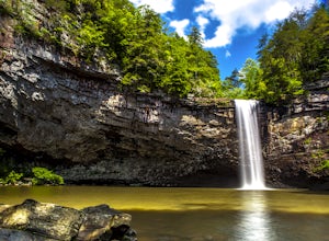
Foster Falls Loop
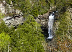
4.62.19 mi / 574 ft gainFoster Falls State Park is part of the South Cumberland State Park system. A short 45 minute drive from Chattanooga, Foster Falls boasts a stunning 60 foot waterfall that is worth visiting during any season of the year. The trailhead for this 2 mile hike starts from the Foster Falls parking lot a...Read more -
Sequatchie, Tennessee
Climb Gravity Boots and After Burner
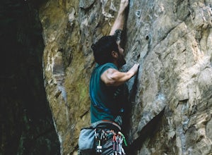
Foster Falls State Park is a sport climber's paradise, with most climbs tailored to advanced and expert climbers. Gravity Boots and After Burner are two climbs found on the Rocket Slab which is a standalone piece of rock to the left of the Sanford Wall. Both climbs run about 40'-50' and are bol...Read more -
Sequatchie, Tennessee
Climb at Foster Falls SP
5.04.5 miFoster Falls will suit any climber. A novice climber can find routes here, and an expert can find new and exciting projects. There are a few camping sites near the climbing area. Father Adams which is a primitive spot, and Foster Falls campground which has a shower and toilets (around $16 a night...Read more -
Sherwood, Tennessee
Walls of Jericho via Tennessee Trailhead
5.07.74 mi / 1667 ft gainWalls of Jericho via Tennessee Trailhead is an out-and-back trail that takes you by a waterfall located near Belvidere, Tennessee.Read more -
Estillfork, Alabama
Walls of Jericho via Alabama Trailhead
4.55.8 mi / 1417 ft gainAround 5pm, we hiked down the only clearly marked trail that departs from the parking lot. The path begins with gentle switchbacks and great views of the forest, occasionally passing by small waterfalls, sinkholes, and caves; and arriving at the Hurricane Creek crossing (log with handrail) after ...Read more

