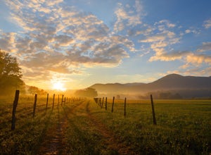
Hiawassee, Georgia
Looking for the best camping in Hiawassee? We've got you covered with the top trails, trips, hiking, backpacking, camping and more around Hiawassee. The detailed guides, photos, and reviews are all submitted by the Outbound community.
Top Camping Spots in and near Hiawassee
-
Dillard, Georgia
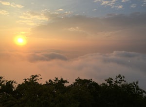
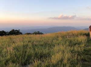
Hike to Rabun Bald
5.03 mi / 4696 ft gainStarting at the trailhead you begin by following the yellow blazes. The trail isn't well marked so keep an eye out for the blazes you see. The trailhead starts at the dead end of Kelsey Mountain Trail. The path immediately starts to incline and doesn't stop. A few minutes in you will come to a fo...Read more -
Morganton, Georgia
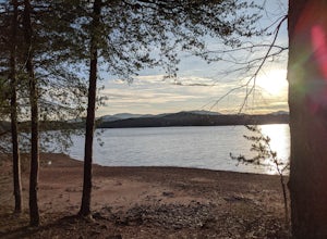
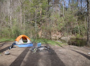
Camp at Morganton Point
Morganton Point Campground is one of the most well-maintained campgrounds in North Georgia. There are sites available for both RVs and tents, but the tent section is separate from the RV area so don't worry about any noisy generators! I camped at Site F, a tent-only campsite. This campsite (and ...Read more -
Joyce Kilmer-Slickrock Wilderness, North Carolina
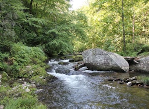
Backpack Slickrock Creek Trail #42
30 mi / 3700 ft gain8:30 a.m. and we’re winding our way down Highway 129 near Robbinsville, NC. The fog is still thick over the Little Tennessee River as we slow down crossing the bridge into Graham County. “I think we missed it,” I say as we continue onward. Within minutes the Tapoco Lodge comes into view. My pre-h...Read more -
Tellico Plains, Tennessee
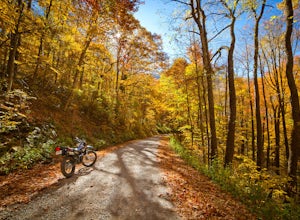
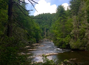
Explore North River Road
4.7If you're looking to get off the beaten path and take the road less traveled, North River Road is your ticket to solitude.A popular loop for the locals is starting on Tellico River Road, then getting on North River Road to make your way up the mountain all the way to the Cherohala Skyway. Take th...Read more -
Tellico Plains, Tennessee
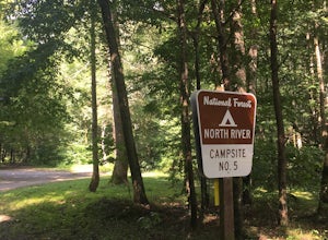
Camp at North River Campground and Dispersed Campsites
North River Road is located in the Nantahala National Forest near Tellico Plains. To get to North River Campground you can either drive up the Cherohala Skyway about 6 miles then turn when you see the sign for the campground and bald river falls. Another way to get to the campsites along North Ri...Read more -
Robbinsville, North Carolina
Hike the Big Fat Gap Trail
12 mi / 3000 ft gainThere are many trailheads leading into the wilderness on either the Tennessee or North Carolina side. My favorite is the Big Fat Gap trail on the North Carolina side at an elevation of 3,060'. To see the best of what this area has to offer take the Hangover Lead South Trail to the 5,180' Hangover...Read more -
Mountain Rest, South Carolina
Hike to Big Bend Falls
5.06.5 miThe hike to Big Bend Falls begins on the Chattooga River Trail at the Burrell's Ford Campground. To get here you take Burrell's Ford Road off of SC 107. There will be a good sized gravel parking area off to the left about 3 miles down Burrell's Ford Road. When you park the car you can walk down t...Read more -
Vonore, Tennessee
Camp at Citico Creek
5.0There are a few options for getting to Citico Creek, you can either go up the windy gravel road from US 411 or get off of the Cherohala Skyway and go down the mountain past the Indian Boundary campground. The Citico Creek campground has about 5 or 6 spots but is rarely full because it is very sec...Read more -
Robbinsville, North Carolina
Gregory Bald via Twentymile
4.015.42 mi / 3694 ft gainGregory Bald via Twentymile is a loop trail where you may see beautiful wildflowers located near Robbinsville, North Carolina.Read more -
Walhalla, South Carolina
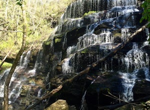
Hike to Yellow Branch Falls
5.03 miOnce you have turned into the picnic area off of Highway SC 28, you will see the open and easy parking area. The trail begins at 2 points on the southern end of the parking area. These 2 points form a small loop about 0.2 miles long, with a spur in the middle of the loop onto the main yellow bran...Read more -
Bryson City, North Carolina
Southern Smokies: Fontana Lake to Clingman's Dome
4.520.39 mi / 5750 ft gainThis is a strenuous (though not technical) hike that really showcases the forests, creeks, and (eventually) the highest point of Great Smoky Mountains National Park. As this is a point-to-point route, you will want to have two vehicles - one that you can leave at Clingman's Dome and one that you ...Read more -
Dawsonville, Georgia
Hike to Springer Mountain
3.519 mi / 4346 ft gainBegin your journey from Amicalola Falls State Park. Despite the steep climb, you should park at the base of the falls and climb the steps for a great view of one of the grandest falls in the South. (For more on that hike, see: "Climb the Stairs to Amicalola Falls"). From the top of the falls, fol...Read more -
Bryson City, North Carolina
Hike to Lonesome Pine Overlook
5.07 mi / 2300 ft gainTo start the hike to Lonesome Pine Overlook begin from the Noland Divide Trailhead in Deep Creek. The trail is a steady climb with an average gain of 700 ft. every mile. Approaching the top you'll walk along a rocky ridge line where you are able to see the overlook. As you continue, be sure to lo...Read more -
Bryson City, North Carolina
Deep Creek to Clingmans Dome Loop
32.82 mi / 7400 ft gainThis is a ~36 mile loop that goes up Clingman's Dome (the tallest point in Tennessee). Pretty challenging, not for the novice backpacker. Park at Deep Creek campground in Bryson City, NC. We did it as a 3-day, 2-night camping at sites 53 and 61. As it is a loop it could easily be done in reverse....Read more -
Townsend, Tennessee
Bike Cade's Cove Loop
4.710.5 miCade's Cove is a valley located smack in the middle of the Great Smoky Mountains National Park. Feel free to drive the 11 mile loop in the day, but if you're really cool, you'll schedule your trip around a full moon so you can bike under the light of night! Allow yourself a few hours to explore a...Read more -
35.556724,-83.495827
Forney Creek Loop
4.519.04 mi / 3500 ft gainThis is an overnight loop hike that is built around one night in the back country. It can be done as an ambitious day hike. Be advised that permits are required by the NPS for all overnight stays in Great Smoky Mountain National Park. The hike begins at the Clingman's Dome parking lot at the For...Read more

