Flowery Branch, Georgia
Looking for the best hiking in Flowery Branch? We've got you covered with the top trails, trips, hiking, backpacking, camping and more around Flowery Branch. The detailed guides, photos, and reviews are all submitted by the Outbound community.
Top Hiking Spots in and near Flowery Branch
-
Blairsville, Georgia
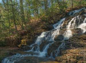
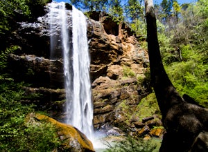
Hike the Trahlyta Lake Trail to Trahlyta Falls
1 mi / 30 ft gainLake Trahlyta in Vogel State Park offers a truly unique combination of natural beauty and opportunity for recreation. The easy one-mile Lake Trahlyta trail circles the emerald colored lake and has a short deviation that leads to a calming, yet impressive waterfall. The trail starts on the edge...Read more -
Marietta, Georgia
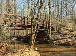
Hike to Noses Creek
3.52 miStarting at the Burnt Hickory Parking lot on Kennesaw National Battlefield, you head south on a pretty flat trail. After a mile and a half you will come across a bridge that goes over Noses Creek. If you're looking to cover more ground, the trails around the creek expand for miles in any directio...Read more -
Sautee Nacoochee, Georgia
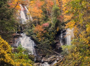
Anna Ruby Falls
4.01 mi / 374 ft gainThe hike to Anna Ruby Falls located in the Chattahoochee National Forest, bordering and often mistaken for being located in Unicoi State Park, begins at the Anna Ruby Falls Visitor Center. There is a $3 per person fee (16 years and under are free) to access the parking lot of the visitor center a...Read more -
Atlanta, Georgia
Hike around the Doll's Head Trail At Constitution Lakes Park
3.51 miLocating the entrance to Constitution Lakes Park is the hardest part of this hike. There's no specific address to take you to the parking lot, but if you find South River Industrial Boulevard, you'll see the sign for Constitution Lakes Park on your right. Parking is free and there are two trail...Read more -
Blairsville, Georgia
Hike to Horsetrough Falls
5.00.4 mi / 10 ft gainTo get to the trail head you will follow Wilks road five miles to Upper Chattahoochee River Campground. The five miles down the gravel road should be doable for a majority of cars as the gravel road is in good condition. Pretty much if you feel comfortable driving your car on a regular gravel roa...Read more -
Toccoa, Georgia
Explore Toccoa Falls
3.60.2 miPark at the welcome center of Toccoa College.The trailhead is behind the welcome center, starting at the gates to the right of the center. The trail takes you along a creek on a gravel trail. After a short distance, you will reach Toccoa Falls, where the water pours off the rocks from over 180 fe...Read more -
Sautee Nacoochee, Georgia
Unicoi Gap and Indian Grave Gap Loop
5.05.04 mi / 1765 ft gainThe Unicoi Gap and Indian Grave Gap Loop in Sautee Nacoochee, Georgia, is a moderately challenging hiking trail. Spanning approximately 5.04 miles, the loop offers a variety of terrain, including forested areas, open fields, and rocky paths. The trail is known for its two significant landmarks: U...Read more -
Acworth, Georgia
Hike and Swim at Red Top Mountain
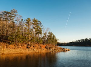
4.54.74 mi / 472 ft gainThe Georgia summer is no joke. Fortunately, Red Top Mountain's Homestead Trail hosts enough shade and swimming for all adventurers. The 5.5 mile loop is located on a large peninsula stretching out into Lake Allatoona. Hikers enter a lush forest of wildlife and will encounter moderate elevation...Read more -
Cartersville, Georgia
Camp at Red Top Mountain State Park
4.5Red Top Mountain State Park finds itself just 30 minutes up I-75 from the urban sprawl of Atlanta, and it is surprising how quickly you can forget exactly how close you are to the city with just one night of camping here. The State Park has a range of activities to offer, so there is bound to be...Read more -
Hiawassee, Georgia
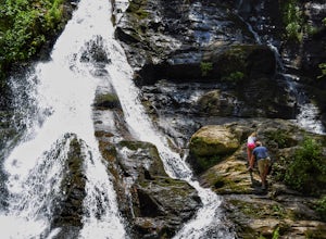
Blue Hole and High Shoals Creek Falls
4.82.45 mi / 479 ft gainLocated just a few miles north of Helen, Georgia is this hidden gem. The road that leads up to the starting point of the hike is a bit tricky to find so make sure you have your GPS to help a little, its a gravel road that winds up the mountain for a about a mile. The dirt trail winds down throug...Read more -
Atlanta, Georgia
Hike the Cascade Springs Trail
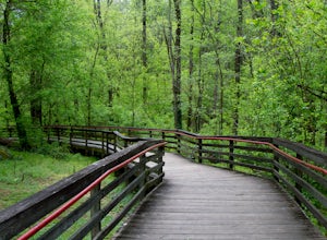
5.01.9 miA quick and local getaway from the hustle and bustle of Atlanta city life, Cascade Springs Nature Preserve offers over 100 acres of forested trails that lead to Utoy Creek and Cascade Falls.The trail starts at the parking area and leads to a boardwalk where old historical structures stand alongsi...Read more -
Clarkesville, Georgia
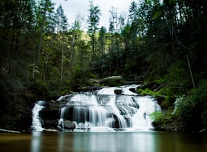
Panther Creek Falls
3.77.27 mi / 659 ft gainPark at the Panther Creek Recreation Area. The fee to park here is $4. There is extra parking alongside the road if the parking lot is full. The trail begins opposite the parking area, noted by a wooden sign. The trail gains elevation here and there with several drop-offs secured by cable cord f...Read more -
Lakemont, Georgia
Minnehaha Falls
4.20.39 mi / 98 ft gainDespite their beauty, not many hikers know about Minnehaha Falls. Even more shocking, these are some of the most accessible falls in all of North Georgia. Round trip, the hike to the falls will only take about a half a mile. Hikers can park along the side of the road at the trailhead. Follow the ...Read more -
Cartersville, Georgia
Pine Mountain Loop
4.62.11 mi / 597 ft gainThe Pine Mountain Trail winds and climbs its way to awesome summit views, along massive granite outcrops and serene forest. Hike over wooden bridges, across sparkling streams, past misty waterfalls & rock outcroppings, varied forest, scenic overlooks, & leaping deer. This local gem is tuc...Read more -
Blue Ridge, Georgia
Long Branch Loop Trail
5.02.33 mi / 299 ft gainLong Branch Loop Trail is a loop trail where you may see beautiful wildflowers located near Blue Ridge, Georgia.Read more -
Blairsville, Georgia
Hike to the Brasstown Bald Peak
4.31.42 mi / 430 ft gainOnce you make it to the parking area (parking fee required) to Brasstown Bald you will be at about 4284 feet elevation. From there you will have a short (0.6 mile) but steep hike to the tower that sits atop Brasstown Bald. Along the path you will see Rhododendron and various other blooms dependi...Read more

