Dillard, Georgia
Top Spots in and near Dillard
-
Little River, North Carolina
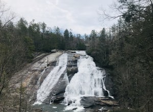
High Falls & Triple Falls
4.52.38 mi / 502 ft gainBoth falls provide ample open, flat rock right up next to the massive falls where you can picnic, take photos, or just lounge in the sun and mist. There are signs saying so, but be sure to be careful near the waters edge below the falls - swimming is not allowed as the current can be very strong....Read more -
Hendersonville, North Carolina
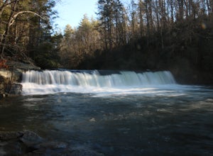
Hike to Hooker Falls
4.00.8 mi / 100 ft gainHooker Falls is located in Dupont State Forest in southern North Carolina. The hike is a great hike for kids to go on and to have a picnic. The waterfall is a beautiful waterfall that offers a great place to swim. Along the hike there are also other places you can see the river and you can swim a...Read more -
Cleveland, South Carolina
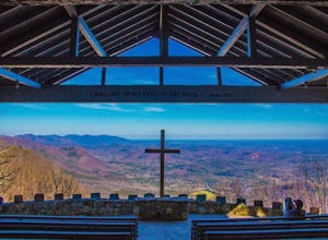
Photograph Fred W. Symmes Chapel (Pretty Place)
Getting there Fred W. Symmes (aka Pretty Place) Chapel is perched near the top of Standing Stone Mountain at 3000 feet above sea level. That being said, expect a long and winding drive up the mountain. It takes about 30 minutes starting from the bottom of the mountain to arrive to the chapel. Th...Read more -
Upper Tremont Road, Tennessee
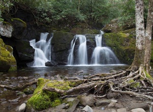
Hike to Indian Flat Falls via Middle Prong Trail
4.57.21 mi / 1140 ft gainOne of the best trails in the Smokies is the Middle Prong Trail. The trail passes three major waterfalls, in addition to numerous smaller falls, cataracts and cascades. Once you've parked, you'll start at the trail head and immediately see your first cascade. From the trailhead hikers will cro...Read more -
Gatlinburg, Tennessee
Quilliam Cave via Courthouse Rock Trail
2.85 mi / 1404 ft gainQuilliam Cave via Courthouse Rock Trail is an out-and-back trail that takes you by a river located near Gatlinburg, Tennessee.Read more -
Dahlonega, Georgia
Explore Cane Creek Falls
From the parking lot, walk about 500 feet to the check-in office to let the receptionist know that you would like to visit the falls. This campground operates as a retreat select times throughout the year and is closed to the public during those times so prior to visiting, be sure to call and fi...Read more -
Greenville County, South Carolina
Hike to Rainbow Falls and Pretty Place
5.05.96 mi / 1844 ft gainJones Gap State Park in the Upstate of South Carolina is one of the most beautiful parks in the state offering a good range of moderate and challenging hiking and backpacking trails through the Mountain Bridge Wilderness Area. Jones Gap also provides superb primitive camping sites along the rocky...Read more -
Greenville County, South Carolina
Hike the Jones Gap Loop
5.05.5 mi / 2000 ft gainStart on the Jones Gap Trail (blue), which will lead you alongside the Saluda River. After 2.5 miles, take the Old Springs Branch Trail (orange) to loop back to the lot.For a challenging, more strenuous hike, with great views of the Gap, check out Rim of the Gap Trail. It is not advised to take c...Read more -
Greenville County, South Carolina
Hike the Pinnacle Pass/Rim of the Gap Loop
11.5 mi / 2345 ft gainThe Trailhead: Located at Jones Gap State Park in Marietta, SC of northern Greenville County. Follow the trail across an iron bridge that crosses the Middle Saluda River, and be sure to register at the Ranger’s Station/Gift Shop on the far side of the gap. The trail head(s) are located directly o...Read more -
Gatlinburg, Tennessee
Hike the Cucumber Gap and Little River Loop
4.05.5 mi / 800 ft gainThis loop offers a scenic 2.5 mile hike next to the river before looping back around via the Cucumber Gap Trail. At the tail end, you'll connect with the Jakes Creek Trail for about 0.7 miles to return you back to the parking lot. Many people hike this trial clockwise, but if it's a hot day, it...Read more -
Sevier County, Tennessee
Little River Trail to Backcountry Campsite #30
5.012.34 mi / 412 ft gainThe trailhead parking area is large but if no spaces are available additional parking can be had at the Jake's Creek trailhead at the top of the hill and to the right of the Little River trail parking lot. After parking, the trailhead itself will be to the left of the parking area. Parking Lot Co...Read more -
Townsend, Tennessee
Gregory Bald via Gregory Ridge Trail
5.011.3 mi / 3020 ft gainThe Gregory Bald summit is indisputably picturesque – the 10-acre meadow at the top hosts magnificent azalea blooms in June, wild blueberries in August, and views of Cades Cove, Rich Mountain, Fontana Lake, Thunderhead Mountain, and Clingmans Dome, year-round. Start this hike at the Gregory Ridg...Read more -
Tellico Plains, Tennessee
Explore North River Road
4.7If you're looking to get off the beaten path and take the road less traveled, North River Road is your ticket to solitude.A popular loop for the locals is starting on Tellico River Road, then getting on North River Road to make your way up the mountain all the way to the Cherohala Skyway. Take th...Read more -
Dahlonega, Georgia
Kayak the Chestatee River South of Dahlonega
4.0This six mile section of the Chestatee River is a safe, enjoyable float mostly away from civilization. There are several small rapids and bumpy areas (class 1) throughout, with two larger rapids (class 1-2) towards the end of the section. It does get pretty shallow in some sections, so keep watch...Read more -
Gatlinburg, Tennessee
Mount LeConte-Cliff Tops via Rainbow Falls Trail
4.513.37 mi / 3993 ft gainBegin at the Rainbow Falls trail parking lot. This is very popular area especially in the summer. If the parking area at the trail head is full there is additional parking located just past the main lot. From here the Rainbow Falls trail is just under 14 miles to the summit of Mount Leconte. Elev...Read more -
35.675929,-83.485764
Roaring Fork Motor Nature Trail
5.05.83 miThis 6 mile drive is a great way to spend a scenic day in the Smokies. The road is open to cars only (no trucks or RVs) and runs one-way. There are no visitors centers after you head out, so be sure to bring everything you need along. The drive begins at the historic Ogle farmstead, which is als...Read more

