Dillard, Georgia
Top Spots in and near Dillard
-
Tellico Plains, Tennessee
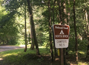
Camp at North River Campground and Dispersed Campsites
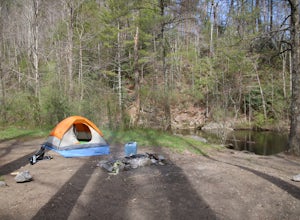
North River Road is located in the Nantahala National Forest near Tellico Plains. To get to North River Campground you can either drive up the Cherohala Skyway about 6 miles then turn when you see the sign for the campground and bald river falls. Another way to get to the campsites along North Ri...Read more -
Townsend, Tennessee
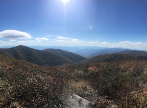
Backpack to Spence Field
13.8 mi / 3100 ft gainStart your hike at Anthony Creek Trailhead (elevation 1,800 ft), in the Cade’s Cove area. The trailhead is located at the far end of the day-use picnic area near Cade’s Cove campground. There are a few parking spots right at the trailhead, but note that the picnic area closes at dusk (a gate clos...Read more -
35.604955,-83.770373
Hike to Rocky Top
5.012.8 mi / 3500 ft gainRocky Top is known to be the spot that inspired the famous fight song of the University of Tennessee, which is also an official song for the state of Tennessee. The trailhead for this hike begins in the Cade’s Cove picnic area parking lot towards the back side. There are a few parking spots ri...Read more -
Gatlinburg, Tennessee
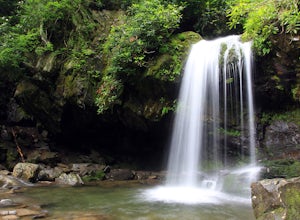
Grotto Falls Trail
5.01.83 mi / 585 ft gainThis is an intermediate hike along Trillium Gap Trail. There are four stream crossings on your way to the falls as you hike through an idyll, often wildflower-sprinkled landscape. Late spring is best for catching blooms. Once at the waterfall, you can walk behind the cascade of water. This is a ...Read more -
Townsend, Tennessee
Spruce Flats Falls
4.81.64 mi / 495 ft gainTo get to Spruce Flats Falls, you will want to drive down 2.2 miles down the scenic Tremont Road to the Great Smoky Mountains Institute and park in the visitor center parking area. You will then want to ascend up the gravel road past the sign that says restricted to unrestricted traffic (meaning ...Read more -
Sevierville, Tennessee
Laurel Falls Trail
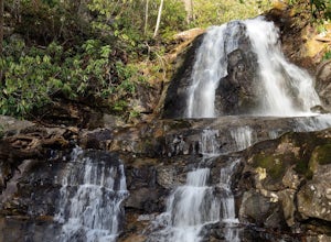
4.32.45 mi / 314 ft gainThis straightforward, yet scenic hike follows a paved trail to the falls, which is among the most popular in the park. This trail can be especially crowded during the summer, so be sure to arrive early. Keep an eye out for a few steep drop-offs on either side of the trail along the way. There ha...Read more -
Waynesville, North Carolina
Explore Cataloochee Valley
5.0History, solitude and wildlife abound in this quiet corner of Great Smoky Mountains National Park, but getting here is not easy. Take the scenic route via Cove Creek Road from Cosby, TN. Drive 40 miles along the twisting, gravel road to Cataloochee, NC. The scenery along the way is outstanding, b...Read more -
Townsend, Tennessee
Bike Cade's Cove Loop
4.710.5 miCade's Cove is a valley located smack in the middle of the Great Smoky Mountains National Park. Feel free to drive the 11 mile loop in the day, but if you're really cool, you'll schedule your trip around a full moon so you can bike under the light of night! Allow yourself a few hours to explore a...Read more -
Vonore, Tennessee
Camp at Citico Creek
5.0There are a few options for getting to Citico Creek, you can either go up the windy gravel road from US 411 or get off of the Cherohala Skyway and go down the mountain past the Indian Boundary campground. The Citico Creek campground has about 5 or 6 spots but is rarely full because it is very sec...Read more -
Gatlinburg, Tennessee
Cataract Falls, Smoky Mountains
4.41.09 miYou will find the trailhead to this gravel path just to the left of the Sugarlands Visitor Center. The easy walk along Fighting Creek is scenic and tends not to be crowded, either. At the end of the hike you will find a beautiful 25-foot waterfall. Please refrain from climbing on or around the f...Read more -
Gatlinburg, Tennessee
Gatlinburg Trail
5.03.8 mi / 351 ft gainGatlinburg Trail is an out-and-back trail that takes you by a waterfall located near Gatlinburg, Tennessee.Read more -
Gatlinburg, Tennessee
Fern Branch Falls
5.03.7 mi / 700 ft gainTake Porters Creek Trail, a gravel road alongside Porters Creek. You will pass by an old farmstead and cemetery, as well as lots of wildflowers if you're out during the spring. In a mile, keep left, then in another half mile or so you should cross over a small (and somewhat harrowing) footbridge...Read more -
Gatlinburg, Tennessee
Hike to the Ramsey Cascades
4.97.83 mi / 2190 ft gainThis multi-tiered waterfall is known as the tallest in the park – a worthwhile reward for the steep and sometimes tricky terrain you'll face on the way up. The popular route to the falls also passes through an impressive old-growth forest, which apparently boasts some of the tallest trees in the...Read more -
Tallassee, Tennessee
Abrams Falls Trail
4.84.96 mi / 625 ft gainOne of the biggest perks of hiking Abrams Falls is the drive to get there. The trailhead is located approximately 5 miles into the scenic Cades Cove Loop. Cades Cove is an adventure in itself. Keep your eye out for black bears, deer and wild turkey. If you are taking the self guided auto tour, Ab...Read more -
Gatlinburg, Tennessee
Hike to Upper Meigs Falls
5.03.55 mi / 1000 ft gainParking available off of Little River Gorge Road (State Hwy. 73) at The Sinks/Meigs Creek Trailhead. The trail starts with winding elevation gain until it crests around 1 mile into the hike (notice pine trees at higher elevation). After the crest it starts descending towards Meigs Creek. While f...Read more -
Gatlinburg, Tennessee
Twin Creeks Trail
4.04.54 mi / 879 ft gainTwin Creeks Trail is an out-and-back trail that takes you by a river located near Gatlinburg, Tennessee.Read more

