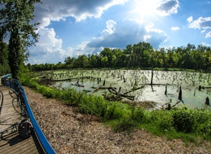
Chatsworth, Georgia
Looking for the best photography in Chatsworth? We've got you covered with the top trails, trips, hiking, backpacking, camping and more around Chatsworth. The detailed guides, photos, and reviews are all submitted by the Outbound community.
Top Photography Spots in and near Chatsworth
-
Chatsworth, Georgia
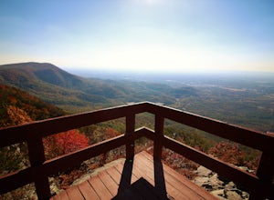
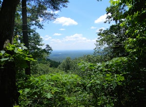
Hike the West Overlook Trail and CCC Stone Tower Trail Loop
4.71 mi / 200 ft gainFort Mountain State Park is filled with horse trails, biking trails, walking trails, camping sites, and a lake. Once you arrive at the park you pay a $5 entrance fee and will receive a park map. While visiting I walked the West Overlook Trail and came back down the CCC Tower Trail. This is a 1 mi...Read more -
Chatsworth, Georgia
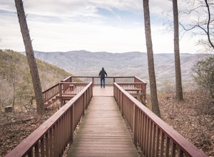
Hike the Gahuti Trail
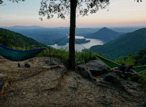
4.08.1 mi / 1223 ft gainFort Mountain rises prominently from the plateau to the West, serving as the start of the Blue Ridge Mountain range in Georgia. The Gahuti Backcountry Trail circumnavigates the mountain, with several overlooks with views in all directions. At 8.1 miles, this hike is moderately difficult, but can...Read more -
Chatsworth, Georgia
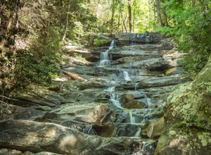
Emery Creek Falls
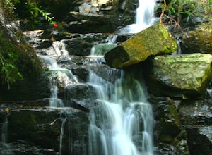
5.05.9 mi / 833 ft gainThe hike to the five waterfalls on the Emery Creek trail is one of the most spectacular hikes in Georgia. This trail is moderate in climb, yet secluded in the Cohutta Wilderness and challenging enough to keep crowds away. Two things to note about this trail: it is wet (there are 20 creek crossing...Read more -
Ellijay, Georgia
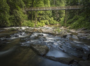
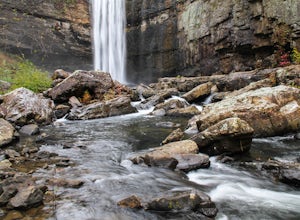
Hike the Tumbling Waters Trail
5.01.3 mi / 160 ft gainJust North of Carters Lake lies one of its tributaries, Tails Creek. The Tumbling Waters Trail follows along a scenic stretch of this creek as it cascades its way towards the lake. This trail is moderately trafficked and considered a local favorite. The Tumbling Waters trailhead also contains a...Read more -
Copperhill, Tennessee
Hike the Beech Bottom Trail to Jacks River Falls
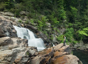
5.09 mi / 315 ft gainJacks River Falls is one of Georgia's most impressive waterfalls. Containing several cascades that combine to an 80 foot waterfall, this destination provides spectacular views and refreshing pools to take a dip in. You can approach the falls from either Jacks River Falls trail or the Beech Bott...Read more -
Benton, Tennessee
Watch the Sunset from Sugarloaf Overlook
The overlook is easily accessible from a parking circle located off Oswald Road. Follow U.S. Highway from Ocoee, Tennessee for 8 miles then turn left onto Oswald Road. Follow Oswald Road for 2.5 miles until you encounter the overlook on your left. The overlook will be clearly marked with signage....Read more -
Benton, Tennessee
Take in the View at Chilhowee Overlook
5.0Catch the sunset, bring friends and a picnic, or gaze at the stars from this classic Tennessee overlook! To reach Chilhowee Overlook, follow U.S. Highway from Ocoee, Tennessee for 8 miles then turn left onto Oswald Road. Follow Oswald Road for 3.75 miles until you encounter the overlook on your r...Read more -
Reliance, Tennessee
Hike the Scenic Spur Trail
5.03.9 mi / 426 ft gainVery little elevation gain leads to an easy hike along a river right outside of the Ocoee river region. First .7 miles is very flat, then leads to some slight elevation gain but nothing too serious. This trail traverses through the lush forest for a short distance when you come across a small cre...Read more -
Copperhill, Tennessee
Explore Ocoee Whitewater Center
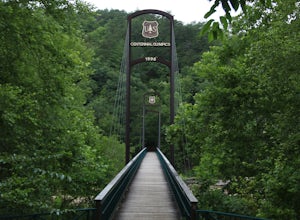
This location showcases the Ocoee river and the area used in the 1996 Olympics. This area is beautiful and has some amazing views. The drive to the whitewater center is called the Ocoee Scenic Byway and is the first national forest byway. The drive is gorgeous and features some amazing mountain v...Read more -
Dawsonville, Georgia
Hike to Springer Mountain
3.519 mi / 4346 ft gainBegin your journey from Amicalola Falls State Park. Despite the steep climb, you should park at the base of the falls and climb the steps for a great view of one of the grandest falls in the South. (For more on that hike, see: "Climb the Stairs to Amicalola Falls"). From the top of the falls, fol...Read more -
Dawsonville, Georgia
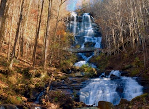
Amicalola Falls
4.30.73 mi / 292 ft gainAdventurers access the falls through the state park entrance. From the parking lot, hikers follow the clearly marked signs to the base of the falls. The incline begins by the pond at the base of the falls. From the pond, follow the incline along the cascading portion of the falls to the stairs. A...Read more -
Lookout Mountain, Georgia
Explore Lula Lake Land Trust
3.93.4 mi / 459 ft gainLula Lake Land Trust may only be accessible on the first and last Saturday of every month, but a visit to this North Georgia park is well worth planning for. It offers a small, but beautiful lake, a large waterfall, and over 6 miles of trails for hiking or biking. The 1-mile level gravel road fro...Read more -
Chattanooga, Tennessee
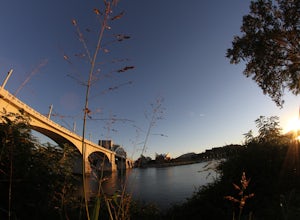
Stroll Chattanooga's Walnut Street Bridge
5.0Chattanooga's Walnut Street Bridge was once almost demolished, but instead it was revitalized to be one of the longest pedestrian bridges in the world. Connecting the Downtown Arts District to Northshore's Frazier Avenue, this bridge hosts visitors and locals year round. Whether you walk, bike, o...Read more -
Lookout Mountain, Tennessee
Photograph Moccasin Bend From Point Park
4.0Located in Chickamauga & Chattanooga National Military Park, Point Park is a ten acre memorial park that overlooks the Lookout Mountain Battlefield and the city of Chattanooga. There is a paved walking path around the park that takes visitors by several historic tablets, monuments, confederat...Read more -
Chattanooga, Tennessee
Park Day at Renaissance Park
4.0Renaissance Park is a 23-acre urban wetlands park, snuggled between the Market Street Bridge and Cherokee Blvd. on Chattanooga's North Shore. This pet-friendly park features nature trails, an outdoor pavilion, public art, and more. If you're smart, you'll bring some broken down cardboard and slid...Read more -
Chattanooga, Tennessee
Bike or Run the Tennessee Riverwalk
4.013 miThe Tennessee Riverwalk is a part of the Tennessee Riverpark System that features the Coolidge Park, Renaissance Park, Ross's Landing, and the Walnut Street Bridge, all jewels of downtown Chattanooga. It is a networks of boardwalks, bridges, and paved pathways that runs alongside the Tennessee Ri...Read more

