Sharon, Connecticut
Looking for the best chillin in Sharon? We've got you covered with the top trails, trips, hiking, backpacking, camping and more around Sharon. The detailed guides, photos, and reviews are all submitted by the Outbound community.
Top Chillin Spots in and near Sharon
-
Kent, Connecticut
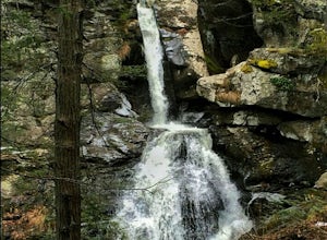
Explore Kent Falls
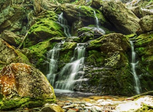
5.00.75 mi / 250 ft gainEvery now and then you need a day to rest those sore muscle from all your recent adventures. The only issue is, you don't want to sit around inside, you want to be outside. Insert a trip to Kent Fall State Park. The perfect rest adventure day.Located 1 hour and 45 minutes north of New York City i...Read more -
Canaan, Connecticut
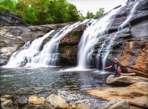
Explore Great Falls
3.00.5 miStumbled upon Great Falls in the Falls Village section of Canaan, CT. The stunning 50ft waterfall doesn't disappoint. very easy hike from parking lot, you must cross the river in order to get close for bottom view. Hop on top of turtle rock and relax as the waterfall tumbles in the distance.Read more -
Salisbury, Connecticut
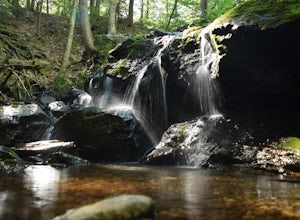
Explore Riga Falls
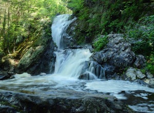
The best part of the adventure is finding this hidden gem also known as Riga Falls. Riga Falls is actually one of Connecticut's lesser known waterfalls, but arguably the most scenic. A helpful hint is that the waterfall lies beside dirt road, keep your ears open! I've already said too much, happy...Read more -
Dover Plains, New York
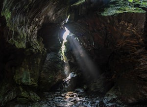
Hike Dover's Stone Church
4.5Dover Stone Church has been a beautiful and popular destination in the Hudson Valley for some time, and recently the park purchased a new parcel of land and added three trails through the nearby woods. But the gem of the park is, and always will be, the impressive cave with the creek and waterfal...Read more -
Washington, Connecticut
Hike the Mount Tom Tower Trail
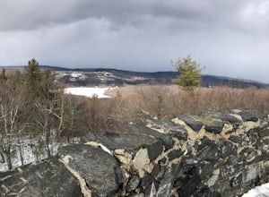
1.3 mi / 337 ft gainStarting from the parking lot of Mt. Tom State Park, hop onto the Tower Trail (yellow trail) which leads more into the woods. During winter time, the trail may be slippery, please use your best judgement and always know your limits. Gaining about 300 feet in total elevation in approximately 1 mil...Read more -
Sheffield, Massachusetts
Hike to Race Brook Falls
4.03.4 mi / 1174 ft gainHiking along the Appalachian trail I made a detour in Mt Everett State reservation. About a 2.5 mile detour lead me down to a beautiful 100ft waterfall called Race Brook falls. The waterfall felt made me feel like i was in the tropical jungle in Hawaii. Adding to the beauty of the waterfall were ...Read more -
Norfolk, Connecticut
Hike to Campbell Falls
4.01.4 mi / 187 ft gainCampbell Falls, one of the most beautiful parks in CT. Don't let the size of the park fool you, that's what adds to the beauty. With it's strong pine and fresh flower scented woods you slowly forget that you're even in Connecticut. The trails aren't labeled the greatest but still can be made out....Read more -
Mount Washington, Massachusetts
Explore Bash Bish Falls
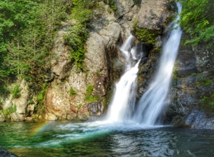
4.21 miOne of my favorite walks to a spectacular falls. The trail is easy to follow and one mile from NY parking lot and 0.5 from the parking lot. The apparent place to swim. There are several very nice, family safe swimmable pools in the creek above and after the falls. There are signs at the top of t...Read more -
Granby, Connecticut
Hiking Enders Falls
4.0Enders State Forest sprawls over approximately 2000 acres, and is found within the towns of Granby and Barkhamsted in Connecticut. Enders has a good sized parking lot directly on Route 219. From the junction of Route 219 and Route 20, visitors will proceed west on Route 219 for 1.2 miles and tu...Read more -
Simsbury, Connecticut
Hike to the Heublein Tower on Talcott Mountain
4.32.54 mi / 404 ft gainThe Heublien Tower Trail, located just inside the Talcott Mountain State Park entrance off of Route 185 in Simsbury CT, is a short 1.25 miles. While the hike isn't long, the first 1/3 of a mile is a steep incline that will get your heart pumping. The trail itself it very well kept, and although ...Read more -
Southington, Connecticut
Hike the Crescent Lake & Metacomet Trail Loop
4.02.4 mi / 269 ft gainThe hike to view Crescent Lake is peaceful. You can either walk through the woods where you will be blessed with natures finest birds and wildlife or you can take the trail along the lake edge. Both are similar distances and lead to the same hill at the end! Once you get to the top take a left on...Read more -
Cheshire, Connecticut
Hike to Roaring Brook Falls
1.2 mi / 377 ft gainArriving to the falls, parking is residential but don't worry everyone is friendly. Starting off the hike you will walk past a cool pond where you may be able to see some wildlife. Continuing on, you will follow the marked trail where it will take you further into the woods while gaining elevatio...Read more -
Elka Park, New York
Hike to Huckleberry Point
4.54.5 mi / 644 ft gainThis is a 4.5 mile hike that is great for hikers of all skill levels. Because it is short and not overly difficult, beginners will enjoy this hike. There are some steep sections that will get your heart pumping, though, and a stunning payoff is waiting for you at the end.From the trailhead, follo...Read more -
Beacon, New York
Explore Long Dock and Dennings Point Parks
4.0Long Dock and Dennings Point are two of the most popular parks in Beacon, that just so happen to be connected by a train track turned trail. Plenty of parking is available at Long Dock, and its a perfect spot to picnic, launch your kayak into the Hudson, or cast your line hoping to reel in the bi...Read more -
Greene County, United States
Hike to Newman's Ledge
4 mi / 584 ft gainLocated in the beautiful Catskill Mountains, this is an outdoors-mans(and woman's) dream spot! Although this hike is accessible year round, if you decide to go during the summer you should expect crowds. Luckily, there are so many different trails and activities that it won't even matter. North-S...Read more -
Meriden, Connecticut
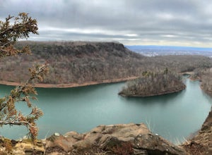
Hike the Metacomet, Blue, and Yellow Loop
5.04.5 mi / 976 ft gainStart from the Castle Craig road entrance. Walk until you're greeted by a beautiful reservoir. You'll notice the strange but beautiful Mine Island in the middle of all this. You'll also notice markers for White Trails and Yellow Trails. The White Trail is an easier/wider trail. The Yellow Trail C...Read more

