Litchfield County, Connecticut
Looking for the best hiking in Litchfield County? We've got you covered with the top trails, trips, hiking, backpacking, camping and more around Litchfield County. The detailed guides, photos, and reviews are all submitted by the Outbound community.
Top Hiking Spots in and near Litchfield County
-
Cornwall-on-Hudson, New York
Hike the Stillman - Bluebird Loop
5.4 mi / 1200 ft gainThis loop hike starts at the northern trailhead of the park where the Stillman Trail begins. The parking area has enough space for only 6 or 7 cars. Start off on a wide maintained carriage road. After about a half mile, the Stillman Trail (yellow markers) breaks of to the left. However, stay ...Read more -
Holyoke, Massachusetts
Whiting Street Reservoir Loop
3.74 mi / 138 ft gainWhiting Street Reservoir Loop is a loop trail that takes you by a lake located near Holyoke, Massachusetts.Read more -
3197 U.S. 44, New York
Hike to Sky Top via the Undercliff Road
7.3 mi / 900 ft gainStarting from the East Trapps parking area ascend the East Trapps connector trail marked with yellow blazes. You can also park at the Mohonk Preserve visitor center where you can purchase your access pass ($15 per person) and pick up a free map of the presere trails and carriage roads. The conn...Read more -
Philipstown, New York
Hike the Osborn Loop
7.6 mi / 850 ft gainThe Osborn Loop trail itself is not a loop. It connects to a 2.5 mile section of the Appalachian Trail. Hiking these together creates the loop. Start at the trail head for the Appalachian Trail on South Mountain Pass Road. There is parking for two or three cars. Walk up the road a short dist...Read more -
Gardiner, New York
Hike The Millbrook Mountain Ridge Trail
5.07 mi / 1400 ft gainWant to walk on the edge? visit Millbrook Mountain in the Catskills of NY. This loops hike follows the mountains ridge line most of the way to the summit with multiple viewpoints and cliff ledges to walk out on. This hike is recommended those in the area.Park at West Trapps Parking Lot and head ...Read more -
Gardiner, New York
Hike the Dickie Barre, Peters Kill and Awosting Falls Loop
3.07.8 miThis loop hike takes you to Awosting Falls (65 ft.), as well as to great valley views along the ridge of Dickie Barre, and across Peters Kill, on the way.Start out on West Trapps Connector Trail (yellow blazes) at the east end of the West Trapps parking lot (get their early because the lot will ...Read more -
Gardiner, New York
Hike the Overcliff - Undercliff Road Loop
5.3 mi / 350 ft gainFrom the West Trapps parking lot ($15 for hikers), walk to the end of the parking lot and past a large kiosk. The trail connects the parking lot to the Overcliff Road/Undercliff Road junction. The loop can be done in either direction. I turned left on the Overcliff Road. This takes you behind...Read more -
Woodstock, New York
Overlook Mountain Trail
4.53 mi / 1348 ft gainIt is important to know that parking for the head of this trail is great, located on Meads Mountain Rd in Woodstock NY. The trail is clearly a gravel road marked by Red trail markers, on a gradual inline up to the Hotel first, at the 2 mile mark, and then the Fire Tower is 0.5 miles further down...Read more -
Elka Park, New York
Hike to Huckleberry Point
4.54.5 mi / 644 ft gainThis is a 4.5 mile hike that is great for hikers of all skill levels. Because it is short and not overly difficult, beginners will enjoy this hike. There are some steep sections that will get your heart pumping, though, and a stunning payoff is waiting for you at the end.From the trailhead, follo...Read more -
Elka Park, New York
Kaaterskill High Peak Trail
7.85 mi / 1982 ft gainThere are no direct views from the summit, so it is recommended to take the .25 mile shoot-off trail to Hurricane Ledge for beautiful views of the surrounding mountains and valleys. In the spring, wildflowers line the trail. If you look carefully in the brush, you'll find wreckage from two old pl...Read more -
Elka Park, New York
Hike to Plattekill Falls
0.5 mi / 137 ft gainJust outside of Elka Park, New York, Plattekill Falls is accessible from Albany and New York City alike. This is a great hike for families and all skill levels. The falls are spectacular year-round, but the best time to visit is in the spring. From the trailhead, walk left past the red house unt...Read more -
Hampden, Massachusetts
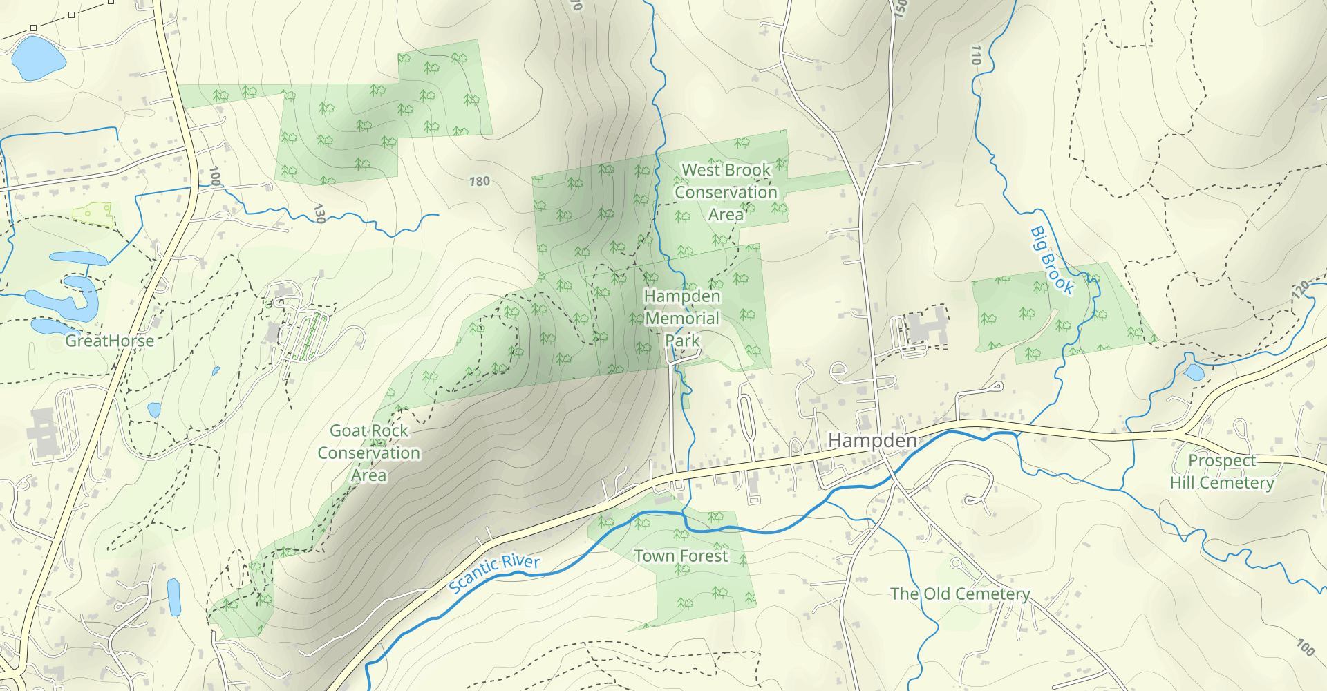
Goat Rock Trail
2.67 mi / 659 ft gainGoat Rock Trail is an out-and-back trail where you may see beautiful wildflowers located near Hampden, Massachusetts.Read more -
Greene County, United States
Hike to Newman's Ledge
4 mi / 584 ft gainLocated in the beautiful Catskill Mountains, this is an outdoors-mans(and woman's) dream spot! Although this hike is accessible year round, if you decide to go during the summer you should expect crowds. Luckily, there are so many different trails and activities that it won't even matter. North-S...Read more -
Philipstown, New York
Anthony's Nose via Appalachian Trail
4.61.95 mi / 682 ft gainParking for the trail runs along both sides of 9D right up until the Bear Mountain Bridge. It can be busy on the weekends so just make sure you're as far off the road as you can and be especially careful unloading kids and dogs. The trailhead is located at approximately 41.322571, -73.975949 and ...Read more -
Cortlandt, New York
Camp Smith Trail
4.05.92 mi / 1759 ft gainThis approximately 3-hour hike borders the Hudson River, and is one of the best in Westchester County. Start off at the parking area at the Bear Mountain Tollhouse, or at a small parking area farther up Bear Mountain Road, if you want a slightly shorter hike. The trail is fairly steep in places, ...Read more -
Elka Park, New York
Hike Twin Mountain
6 mi / 1586 ft gainThe DEC Parking lot, is located at the very end of a dead end, along Prediger Rd. Start at the trail head to the right of the trail kiosk and sign in sheet. The trail starts out very easy going as you approach the base of Twin. At mile 0.25, you’ll hit a junction where you’ll turn RIGHT towards T...Read more