Greenwich, Connecticut
Top Spots in and near Greenwich
-
Brewster, New York
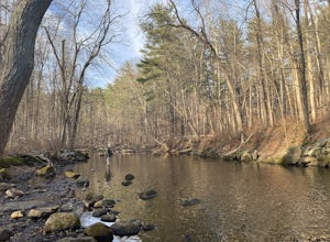
Fly Fish the East Branch of the Croton River
If you're craving some time away from the bustle of everyday life to enjoy some silence, broken only by the babbling sound of water flowing over small boulders and the occasional crunching of leaves-- you'll find many spots along the Croton River to satisfy your desire for stillness. The Croton...Read more -
New York, New York
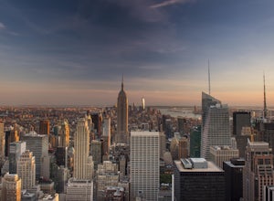
Watch the Sunset from Top of the Rock
4.0There aren't any mountain peaks to summit in New York City, but the view from the top of the Rockefeller Building is the next best thing. You'll have to pay a few bucks ($29 to be exact) and deal with some tourists but you won't regret your decision once you're looking out over one of the most ic...Read more -
Danbury, Connecticut
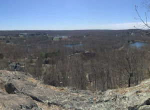
Hike Middle Mountain To Thomas Mountain Loop
3.7 mi / 856 ft gainMiddle Mountain to Thomas Mountain Loop is a 3.7 mile loop hike that takes you past great forest setting located near Danbury, Connecticut.Read more -
New York, New York
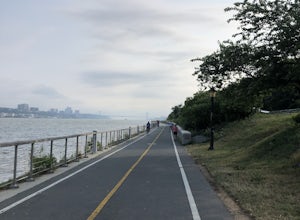
Run the Hudson River Greenway
4.318 mi / 212 ft gainTo get in both some sights and a workout, follow the Hudson River Greenway to views of the Statue of Liberty, the Chelsea Piers, and George Washington Bridge, to name a few. This easy-access run is best done in the early morning or early evening, to avoid pedestrian traffic and too much sun. Keep...Read more -
Weehawken, New Jersey
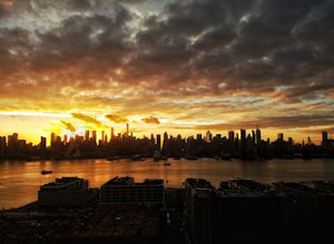
Photograph the NYC Skyline from JFK Boulevard East
The Big Apple. NYC has arguably the best skyline in the world. So, if you are one of the millions of people visiting wouldn't you want to get some photos of the entire skyline to post on social media and show friend & family? Skip the boat and helicopter tour lines (although a cool experience...Read more -
Philipstown, New York
Hike the Osborn Loop
7.6 mi / 850 ft gainThe Osborn Loop trail itself is not a loop. It connects to a 2.5 mile section of the Appalachian Trail. Hiking these together creates the loop. Start at the trail head for the Appalachian Trail on South Mountain Pass Road. There is parking for two or three cars. Walk up the road a short dist...Read more -
Queens, New York
Ridgewood Reservoir
2.23 mi / 194 ft gainRidgewood Reservoir is a loop trail that takes you by a lake located near New York City, New York.Read more -
Bear Mountain, New York
Hike Bald Mountain, Bear Mountain State Park
4.76.8 mi / 1080 ft gainFrom your starting point at the Bear Mountain Inn, go left along the Cornell Mine Trail. (This part can be a bit confusing, but go past the carousel to a shaded picnic area; that is where the trail starts.) You will go under a bridge and follow the trail until it takes a sharp left and descends t...Read more -
Philipstown, New York
Anthony's Nose via Appalachian Trail
4.61.95 mi / 682 ft gainParking for the trail runs along both sides of 9D right up until the Bear Mountain Bridge. It can be busy on the weekends so just make sure you're as far off the road as you can and be especially careful unloading kids and dogs. The trailhead is located at approximately 41.322571, -73.975949 and ...Read more -
New York, New York
High Line
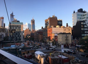
4.61.47 mi / 26 ft gainBuilt on a historic freight rail line and perched above the streets of Manhattan’s West Side, the High Line is a public park that features a green-lined walkway. Park hours depend on the season, although it never opens before 7am, so best to go for sunset. Although you may have some company on wa...Read more -
Highland Falls, New York
Popolopen Torne
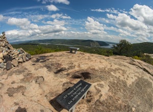
4.51.18 mi / 531 ft gainPopolopen Torne is a hidden gem in the Hudson Valley, a surprisingly unknown trail with a beautiful payoff and a far deeper meaning. A short hike to the top puts you at the foot of a memorial to those who have served their country, a pile of painted rocks carried up by those who want to pay their...Read more -
New York, New York
Walk the George Washington Bridge at Sunset
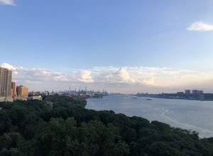
3.00.9 miJoin the thousands of people who cross the GWB each day, but do it by foot! This is an easy walk with beautiful views of the New York City skyline. You will begin seeing signs for the bridge bike path at Ft. Washington St. & E. 177th St., which you follow for a few blocks until you begin asce...Read more -
Brooklyn, New York
Brooklyn Bridge Park Piers
5.01.5 miStarting at the Brooklyn Main Street Park, you are on the right side of the Manhattan Bridge. Here you can check out the new outdoor climbing gym. Keep walking along the water and you'll soon come upon Pebble Beach. Now this beach is not exactly a "let's bring our beach chairs and spend the da...Read more -
Brooklyn, New York
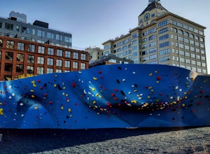
Climb Outdoors at DUMBO Boulders
5.0Enter at the corner of Adams St. and John St. and see the Manhattan Bridge above you. To your left is the new DUMBO Boulders, the largest outdoor rock gym in North America: at least for now.At only $9 for a day pass, includes the price of rental shoes, it's a steal compared to any gym in the cit...Read more -
Brooklyn, New York
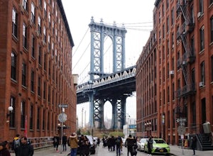
Photograph Manhattan Bridge from Washington Street NYC
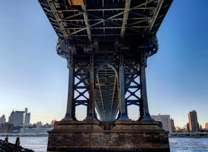
4.7Located in DUMBO this is seen as one of of the prime photography spots in NYC for good reason. Off the intersection of Washington Street and Water Street is a perfect view of the Manhattan Bridge sandwiched between two buildings. If you want to take it one step further you are able to get a close...Read more -
608 Ramapo Valley Road, New Jersey
Hike the Halifax Trail and Ruins in the Ramapo Valley Reservation
8.25 mi / 500 ft gainTo start, I recommend coming in the early morning or afternoon, as the parking lot fills up with people hiking, fishing or going for a walk with their family. I usually get my luckiest before 9. This park is as relaxing or exciting as you want to make it. Here is a good map to use/ print out. We ...Read more

