Woodland Park, Colorado
Top Spots in and near Woodland Park
-
Cripple Creek, Colorado
Drive Gold Camp Road
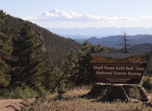
4.35 miGold Camp Road is a road that begins near Bear Creek Regional park. As you drive up the winding road, the road will turn to dirt. Continue driving down the dirt road, turn the corner and BAM, you're hit with some mountain views that will take your breath away. As you continue to drive Gold camp r...Read more -
Sedalia, Colorado
Hike Devils Head Fire Lookout
4.72.8 mi / 951 ft gainThis is one of my favorite hikes near Denver and the lookout itself is over 100 years old! On the road to the trailhead there are many spots for camping and other activities.From Sedalia, CO head down Highway 67 for about 10 miles. Turn south onto Rampart Range Rd and continue for about 9.5 miles...Read more -
Pine, Colorado
Fish Cheeseman Canyon
5.0Cheesman Canyon is considered one of the top fisheries in the world, and this stretch of the South Platte River is easily accessed at the Cheesman trailhead off CR 126 just Southwest of Deckers. There are tons of great fishing opportunities along this stretch of the river, but it does tend to ge...Read more -
Sedalia, Colorado
Backpack the Lost Creek Loop
33.5 mi / 6200 ft gainLost Creek Wilderness may be my favorite part of Colorado. It contains varied terrain and geography, and is less crowded than most places. This loop will take you through everything the wilderness area has to offer. You will get sweeping panoramas of mountain ranges to the south, as well has m...Read more -
Sedalia, Colorado
Camp at Goose Creek
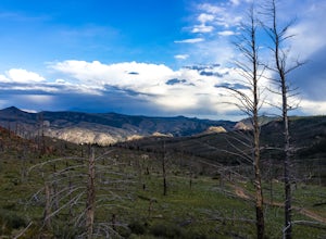
3.08 mi / 1300 ft gainGoose Creek is a fantastic spot to hike or camp. There is a dirt road leading to the trailhead, and it winds through the mountains and offers a great view of the valley. The dirt road is relatively easy and well-maintained. The burn scar from the Hayman fire is still really evident, so there are ...Read more -
Sedalia, Colorado
Backpack the McCurdy Park Loop
25 mi / 7202 ft gainThe total distance of the loop is a little under 25 miles and you will climb a total of 7202 feet. It can be done as a 3 day backpacking trip as shown below.The LoopDay 1: After Parking in the trail head's parking lot, which fills up quickly on weekends, start down the trail after signing your pe...Read more -
Teller County, Colorado
Backpack to the Abandoned Skagway Power Plant and Ghost Town
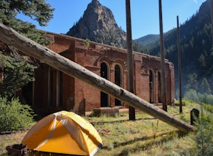
3.510 mi / 1000 ft gainConstruction of the Skagway Plant began in 1899 and was complete in 1901. In 1965, 15 days of rain brought floods washing out a lot of the pipeline and other infrastructure. Fixing the power plant didn’t make sense and funds weren’t in place. The land was reverted to the government. The hike b...Read more -
Guffey, Colorado
Paradise Cove
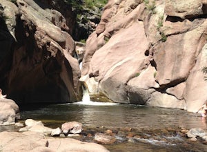
4.5From Colorado Springs, follow RT 24 to the town of Florissant (34.5 miles). From Florissant, follow Teller County Road 1 south for about 9.2 miles, until a Y fork, and bear right, into County Road 11. Follow County Road 11 for 4.1 miles, until a T intersection, and make a right turn at the inters...Read more -
Colorado Springs, Colorado
Hike Cheyenne Mountain
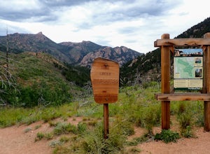
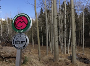
16 mi / 3400 ft gainThis trail starts out of Limekiln Trailhead in Cheyenne Mountain State Park. This is a large, obvious trailhead with bathrooms and water. From the trailhead follow the Talon trails on flatter terrain for the first 3 or so miles until it starts to steepen and turns to Dixon trail. These first few ...Read more -
Lake George, Colorado
Camp and Fish at Eleven Mile Canyon
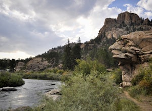
4.4Located below the dam of the Eleven Mile Reservoir, Eleven Mile Canyon is a scenic spot for camping, fishing, hiking and climbing. There are four different campgrounds to choose from (Cove, Riverside, Spillway and Springer), though only one campground remains open during the off season. Getting t...Read more -
Pine, Colorado
Dispersed Camp at the Buffalo Creek Area in Pike National Forest
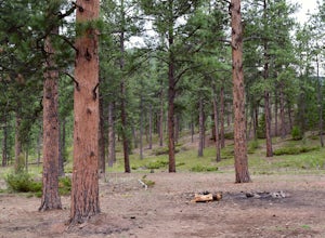
3.850 miles from Denver, nestled in Pike National Forest, there are dozens of free dispersed camping sites. With quick access to the Colorado Trail and Buffalo Creek Mountain Bike Area, these campsites make for a perfect weekend getaway. The campsites begin on Forest Road 550, and are clearly marked...Read more -
Pine, Colorado
Little Scraggy Peak Loop
5.012.18 mi / 1621 ft gainLittle Scraggy Peak Loop is a loop trail that takes you past scenic surroundings located near Buffalo Creek, Colorado.Read more -
Castle Rock, Colorado
Run the Challenge Hill
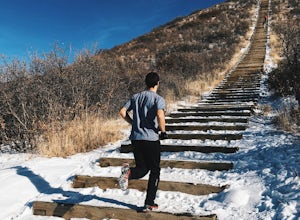
5.00.6 mi / 200 ft gainThe Basics: The Challenge Hill, or as I like to call it, the Mini-Incline, is a shrunken version of its big brother to the south in Manitou. However, don't let its relatively small 200 stair count fool you - this hill is a serious workout! Located in Philip S. Miller Park, just one minute off I-2...Read more -
Cañon City, Colorado
Climb at Shelf Road
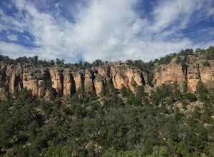
4.41.5 mi / 400 ft gainShelf Road is secluded, rural, and has great climbing. There are so many areas to choose from and it has a great diversity of route levels (mostly sport routes). My personal favorite area is "The Gallery" and "The Bank." Everyone is friendly and gives each other a hand.Sand Gulch Campground, righ...Read more -
Cañon City, Colorado
Shelf Road
5.0Shelf Road, which was once a toll road from Cripple Creek to Canon City, is now a maintained dirt road that most high clearance two wheel drive cars can make. It will take over an hour to travel the 25 miles or so, and it can be completed going from north to south or the opposite. I will explai...Read more -
Franktown, Colorado
Inner Canyon Trail
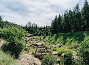
5.02.17 mi / 213 ft gainThe Inner Canyon Trail begins at the Canyon Point Parking Lot. There are a few trails that leave from this lot, so make sure you're following signs for "K." Right away, you'll descend down a few dozen stairs into the canyon itself. You'll quickly cross a bridge and be on your way. This trail is...Read more

