Winter Park, Colorado
Top Spots in and near Winter Park
-
Allenspark, Colorado
Hike to Lone Pine Lake (Grand Lake, CO)
5.010.44 mi / 1494 ft gainStarting at the East Inlet Trailhead, with an elevation of 8,391 feet, the trail is on a nice dirt path and you're immediately greeted with the sight of Adams Falls on your right, just 0.3 miles in. After continuing on after Adams Falls, the next 1.5 miles lead you out into the sunlight with brea...Read more -
Allenspark, Colorado
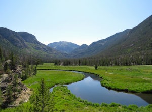
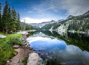
Backpack to Lake Verna
5.013.5 mi / 2500 ft gainWant to get away it from it all and enjoy some high alpine lakes? The East Inlet Trail is just outside Grand Lake, on the westside of Rocky Mountain National Park, 2.35 miles east of Highway 34 on West Portal Road. From the trailhead, one can access 8 different campsites. The campsites are as ...Read more -
Boulder, Colorado
Green Mountain via West Ridge Trail
3.23 mi / 607 ft gainStarting at 7,600 ft this 1.35 mile (one-way) hike is the shortest, and by far the least strenuous, hike to summit one of Boulder's iconic peaks. Parking for this trail-head is available along the road a short drive, 4.5 miles, up Flagstaff Rd. The trail gently slopes along a ridge for the firs...Read more -
Allenspark, Colorado
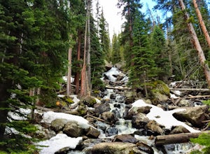
Hike to Ouzel Falls
4.05.22 mi / 870 ft gainLocated right outside of Rocky Mountain National Park, this hike is perfect for anyone looking to do a little exploring without the cost of a park fee. The drive through the Rocky Mountains to the trailhead is an added bonus. This hike is great because it has multiple attractions all along the wa...Read more -
Allenspark, Colorado
Backpack to Bluebird Lake
4.314 mi / 2500 ft gainStarting at the Wild Basin trailhead on the south side of Rocky Mountain National Park, hike through a wet forest towards upper and lower Copeland Falls, located 0.45 miles from the trailhead. From here, continue on the main trail along the North Fork of the Saint Vrain River to Calypso Cascades,...Read more -
Allenspark, Colorado
Hike to Thunder Lake
12 mi / 2275 ft gainStarting at the often-busy Wild Basin TH, the trail passes through dense forests as it follows the North Fork of the Saint Vrain River through the southernmost section of Rocky Mountain National Park. The trail passes alongside the small Copeland Falls before continuing west towards Calypso Casca...Read more -
Silverthorne, Colorado
South Willow Falls
4.66.17 miStart at the Willowbrook Trailhead. You’ll hit a “Y” in the trail pretty quickly - go left and you’ll soon be at the first log bridge. There are quite a few water crossings on the trail, but they are easy to maneuver. After hiking in the Willow Creek Open Space for a bit, you’ll enter Eagle’s Ne...Read more -
Allenspark, Colorado
Ouzel & Ogallala Peaks
17.18 mi / 4403 ft gainBegin at the Wild Basin Trailhead in southeastern Rocky Mountain National Park near the town of Allenspark. Plan to start before sunrise if attempting this trek as a day trip in order to avoid afternoon thunderstorms above the treeline. This trip can easily be made into a backpacking experience b...Read more -
Allenspark, Colorado
Hike to Pear Lake
5.013 mi / 2112 ft gainPear lake is a beautiful alpine lake in the southern Wild Basin region of Rocky Mountain National Park. Once used as a reservoir, Pear Lake has been restored to its natural state and lies in scenic basin below some of the most isolated mountains in the park. The trail to Pear Lake passes through ...Read more -
Allenspark, Colorado
Hike to Finch Lake
3.08.96 miThere are several ways to reach finch lake but this will cover the route from the Finch Lake Trailhead in the wild basin area of Rocky Mountain National Park. You can also loop it with other trails in the area or begin at the Allenspark Trailhead, which is technically outside the park and a bit e...Read more -
Boulder, Colorado
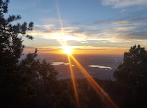
Watch Sunset from the Lost Gulch Overlook
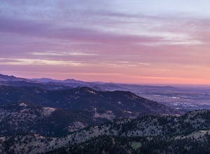
From Boulder, drive west on Baseline road. Continue up for about 5.5 miles past the Flagstaff Summit (Realization Point) pull off. After some more steep and very tight switchbacks there will be a dirt parking lot on the north side of the road. From here you can head northwest towards the cliff...Read more -
Silverthorne, Colorado
Backpack to Upper Slate Lake
5.028 mi / 1386 ft gainStarting from the Rock Creek Trailhead parking lot, it is an up and down trek to Upper Slate Lake. The trail map states 10 miles each way, but accounting for switchbacks it ends up being closer to 14 long, hard miles.You will be among aspens and pines for the first half as you have a few moderate...Read more -
1046 County Highway 115, Colorado
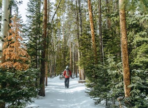
Winter Hike to Calypso Cascades
6.25 mi / 580 ft gainWhile most people go snowshoeing near the Bear Lake or Glacier Gorge area in RMNP, Wild Basin is a much less trafficked option. The entrance station isn't manned in the winter, so you'll get in for free, as well! You can put the Wild Basin Trailhead into your GPS, but you'll have to park at the w...Read more -
Grand Lake, Colorado
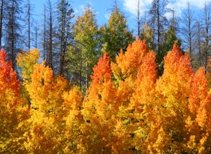
Catch the Fall Colors on the West Side of Rocky Mountain NP
4.0A Fall adventure in Rocky Mountain National Park is among the most spectacular experiences Colorado has to offer. The change of the seasons offers an amazing change to the landscape that makes taking a bad picture darn near impossible. The light is perfect, the elk are in rut, and the mountains o...Read more -
Boulder, Colorado
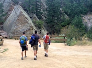
Rock Climb Supremacy Rock in Eldorado Canyon
5.0This is a great spot for beginner climbers, as long as you have an experienced climber with you to anchor the top rope and belay you. It is in a beautiful state park, Eldorado Canyon, in Boulder, Colorado. This canyon is famous for rock climbing and attracts climbers from around the country. Many...Read more -
Boulder, Colorado
Hike the Tenderfoot Trail
4.32.1 mi / 400 ft gainFrom Chautauqua Park in Boulder, follow Baseline Road west (if you are driving up the mountain, you are golden). Drive 3.4 miles up Flagstaff Road and look for the sign for Realization Point on your right. It’s a little tricky to see from the road, so keep an eye on your odometer. The trail star...Read more

