Villa Grove, Colorado
Top Spots in and near Villa Grove
-
Gunnison County, Colorado
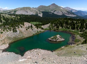
Hike to Lost Lake
4.22.4 mi / 600 ft gainThis Trail starts at about 11,200 feet right before the top of cottonwood pass. The trailhead starts at the LAST pull-off before you reach the top of the pass, so if you reach the top, you've gone too far. The hike isn't a super difficult one, but you will go through numerous streams and flooded ...Read more -
Buena Vista, Colorado
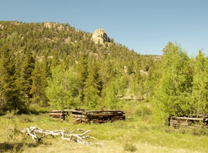
Hike Davis Meadow
5.08.6 mi / 800 ft gainThis is a great hike that is very close to Buena Vista, CO. This trail is on the east side of town and is accessible in the spring. The hardest part of the hike is locating the trail-head. It is located in the northern part of Four Mile Canyon and is in San Isabel National forest. Starting in Bue...Read more -
Cañon City, Colorado
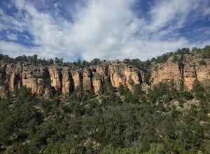
Climb at Shelf Road
4.41.5 mi / 400 ft gainShelf Road is secluded, rural, and has great climbing. There are so many areas to choose from and it has a great diversity of route levels (mostly sport routes). My personal favorite area is "The Gallery" and "The Bank." Everyone is friendly and gives each other a hand.Sand Gulch Campground, righ...Read more -
Cañon City, Colorado
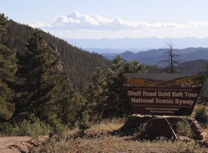
Shelf Road
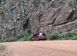
5.0Shelf Road, which was once a toll road from Cripple Creek to Canon City, is now a maintained dirt road that most high clearance two wheel drive cars can make. It will take over an hour to travel the 25 miles or so, and it can be completed going from north to south or the opposite. I will explai...Read more -
Penrose, Colorado
Phantom Canyon Road
29.51 mi / 4852 ft gainPhantom Canyon Road is a point-to-point trail that takes you past scenic surroundings located near Penrose, Colorado.Read more -
Gunnison County, Colorado
Take in the Views on Cottonwood Pass
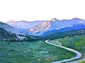
4.7Starting in the town of Buena Vista, head west on E Main Street until it turns into State Highway 306. After about 40 minutes of driving and some winding roads the Continental Divide sign welcomes you to a gravel parking lot. You can get out and hike as you please, but the view from the parking l...Read more -
Buena Vista, Colorado
Backpacking to Kroenke Lake
9 mi / 2750 ft gainStarting at the North Cottonwood trailhead just outside of Buena Vista, Colorado. This hike will take you 4.5 miles to the lake with about 2750 feet of elevation gain. The hike is mostly mellow and you'll likely see hikers heading up to Horn Fork basin to hike Mt. Harvard and Columbia. Campsites ...Read more -
10746-11764 Greenhorn Highway, Colorado
Explore Bishop Castle
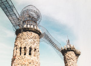
4.00.25 mi / 26 ft gainThis adventure is a unique experience, perfect for the off seasons. Park along the highway on CO-165 in Rye, Colorado, cross the street and walk into the largest one man project in the USA. You’ll enter under the grand front gate and follow the path that leads to the castle. There you’ll find mul...Read more -
Alamosa County, Colorado
Zapata Falls
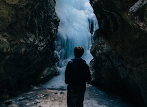
4.70.5 mi / 150 ft gainDriving towards the Sand Dunes, you will see a sign marker that indicates the road up to Zapata Falls. Turn right onto the road a follow it for about 2 miles until you hit the parking lot at the top. The road is in pretty rough condition so if your car doesn't have high clearance make sure you ta...Read more -
Gardner, Colorado
Mount Lindsey (CLOSED)
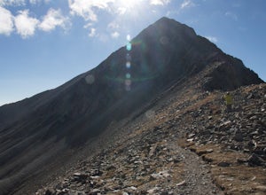
1.08.5 mi / 3300 ft gainNOTE: As of September 2021, Mount Lindsey has been closed to public access indefinitely. (Source) At 14,042 Mt. Lindsey is not one of the tallest 14ers, but it is a fun objective regardless. The Lily Lake trailhead can be somewhat difficult to access without a high clearance car, but most cars ...Read more -
Guffey, Colorado
Paradise Cove
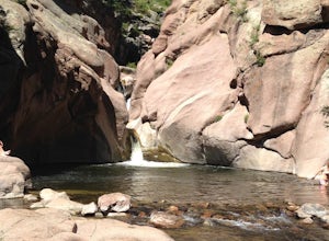
4.5From Colorado Springs, follow RT 24 to the town of Florissant (34.5 miles). From Florissant, follow Teller County Road 1 south for about 9.2 miles, until a Y fork, and bear right, into County Road 11. Follow County Road 11 for 4.1 miles, until a T intersection, and make a right turn at the inters...Read more

