Villa Grove, Colorado
Top Spots in and near Villa Grove
-
Cañon City, Colorado
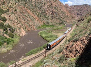
Hike Tunnel Drive
3.8 mi / 521 ft gainThis 3.8 mile out and back trail is a very easy hike but can have moderate to high foot traffic depending on the season and time of day. I recommend doing this hike early in the morning to not only beat the heat, but to beat the other hikers. What I love about this hike is the chance to see the t...Read more -
Parlin, Colorado
Hike to Roosevelt Mine
5.01.5 miAbandoned in 1919, Roosevelt Mine is a lost treasure of Gunnison County, Colorado. Exactly three miles outside the tiny town of Ohio City is the unmarked trailhead on the side of a road pull off for Roosevelt the mine. The trail is otherwise well established and easy to follow. The trail is a lit...Read more -
Cañon City, Colorado
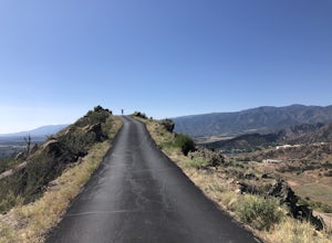
Drive Skyline Drive
5.0Skyline drive is a one way scenic roadway mainly going north to south. The 3 mile drive takes you about 800 feet above Cañon City. It starts on the west side of 50, and ends in a residential neighborhood southwest of where it begins. There are multiple pull offs on the right and left side of the...Read more -
Buena Vista, Colorado
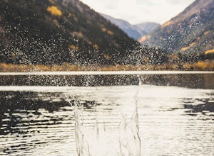
Photograph Cottonwood Lake, CO
0.1 mi / 1 ft gainWherever you are in Colorado, turn your route towards Buena Vista in South West Colorado - you will not be disappointed. To start, Buena Vista is a really cool town with great places to eat and visit. So make sure you check out the city before heading up Cottonwood Pass. When you are ready to hea...Read more -
Hooper, Colorado
Camp at Mosca Campground
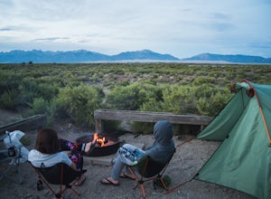
Where to camp: San Luis State Park is located 15 miles west of Great Sand Dunes National Park, San Luis State Park features views of San Luis Lake, the Great Sand Dunes and the Sangre de Cristo Mountains. The campground provides water and hot showers, which we enjoyed after a day of hiking the d...Read more -
Mosca, Colorado
Hike High Dune at Great Sand Dunes National Park
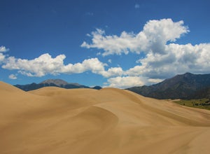
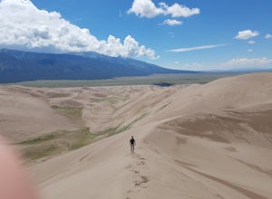
4.82.5 mi / 700 ft gainThe Great Sand Dunes are one the most unique landscapes in Colorado. These massive dunes are the tallest sand dunes in North America. Hiking these dunes can be very difficult, but well worth the amazing views of the Sangre de Cristo mountain range. If you plan on visiting in the summer, be sure t...Read more -
Mosca, Colorado
Sand Dunes Loop Trail
5.03 mi / 650 ft gainSand Dunes Loop Trail is a loop trail where you may see beautiful wildflowers located near Mosca, Colorado.Read more -
Alamosa County, Colorado
Backpack the Great Sand Dunes
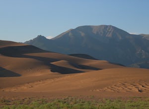
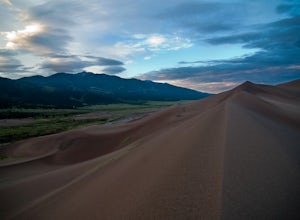
4.8Few places can match the epic scale of this bizarre wilderness in southern Colorado. Great Sand Dunes National Park contains 750 foot tall sand dunes (the tallest in North America) resting at the foot of 13,000 foot peaks (the Sangre de Cristo range). However, to really experience the park in its...Read more -
Alamosa County, Colorado
Sandboard in Great Sand Dunes National Park
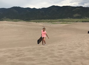
4.8Outside of the national park there are two different companies that can rent sand boards and sleds for your day use at around $20 per board per day. However, If it is raining a lot and the dunes are too wet, or if the dunes are frosted over both companies will not rent out their boards in order t...Read more -
Mosca, Colorado
Hike to Star Dune
5.08 mi / 750 ft gainThere is no established trail or route to summit Star Dune which is the beauty of the ever changing and serene nature in the Great Sand Dune National Park. Star Dune is the tallest sand dune in North America, at 750' tall and reaching a summit of 8617'. However, High Dune to its north is at a hig...Read more -
Alamosa County, Colorado
Mosca Pass Trail, Great Sand Dunes NP
5.06.49 mi / 1549 ft gainThe Mosca Pass trail is an (approx) 6.5 mile out and back hike that takes you through beautiful ponderosa and aspen forests to summit 1500 above the start. The trailhead parking is the first left after the Great Sand Dunes visitor center. It is a moderate hike, but allow for several hours, as the...Read more -
Chaffee County, Colorado
Off-Trail Hike of Limestone Ridge
4.09 mi / 1000 ft gainFinding a winter or early spring adventure that won't take you deep into dangerous mountain territory, while still providing epic vistas, is a challenge in Colorado. There are a few 10,000' tall ranges that sometimes escape deep snow, which are inviting for a first step into the alpine wonderland...Read more -
4402 Garden Park Road, Colorado
Mountain Bike at Oil Well Flats
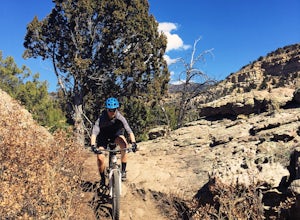
13 mi / 1200 ft gainThe Basics: Picture this: Winter on Colorado's Front Range. It snowed yesterday. You're stir crazy because today it's 60 degrees and sunny outside, but the trails are a muddy mess! Cue Oil Well Flats. Located just an hour outside of Colorado Springs, this trail network rarely sees precipitation, ...Read more -
Buena Vista, Colorado
Summit Mt. Yale
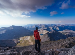
5.08.48 mi / 4232 ft gainThis amazing adventure starts at 9,900 feet and goes up 4,300 feet over the course of an 8.5-mile round trip. You will want to start at the Denny Creek Trailhead. If you are coming from Buena Vista or staying at the Collegiate Peaks Campground you will pass Denny Gulch and then Denny Creek. The ...Read more -
Buena Vista, Colorado
Ptarmigan Lake near Buena Vista
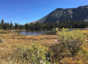
5.06.01 mi / 1608 ft gainWhen you begin the trail, make sure to choose the correct trailhead from the parking lot (located on the south side of the lot to the left, NOT behind the bathroom). From there, begin a moderate climb through a shaded fir forest to the tree line. Emerge in a meadow at a pond and the lower lake, ...Read more -
Buena Vista, Colorado
Hike Mt. Harvard
14 mi / 4600 ft gainStart your hike at the North Cottonwood Creek Trailhead. The trail begins at the end of the parking lot. You'll cross a bridge and meander along the creek, eventually reaching another bridge crossing at about 1.5 miles.After this bridge, you'll reach a trail junction. Be sure to go right (towards...Read more

