Vail, Colorado
Top Spots in and near Vail
-
Independence, Ohio
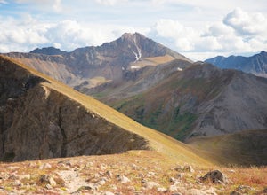
Hike Mountain Boy Ridge from the Top of Independence Pass
5.06 miThe trailhead is to the Independence Pass viewing deck is located at the Summit parking area, which is about 20 miles from Aspen and 24 miles west of Highway 24 on the Leadville side. At the parking area you will notice a paved walkway that takes you to the viewdeck, which is a easy five minute w...Read more -
Independence, Ohio
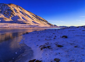
Hike Lost Man Pass via Independence Lake
5.04.5 mi / 1200 ft gainPark at the pull out just west of independence pass. From there, begin on the Linkin's Lake Trail. The trail is generally easy to follow (although it can be muddy as it is a wet area) and climbs 900 feet in the 1.8 miles to independence lake. From Independence lake it is about 0.5 miles and 400 f...Read more -
Independence, Ohio
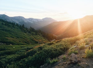
Watch the Sunset from Independence Pass
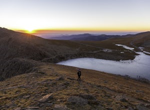
1.0Start in the town of either Aspen or Twin Lakes and continue on Interstate 82 to the top of Independence Pass. Along the way, keep your eyes peeled for the Ghost Town of Independence, fields of wildflowers and the occasional moose, elk or deer. Continue on to the top of the pass where you will fi...Read more -
Independence, Ohio
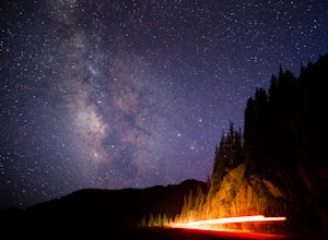
Photograph the Milky Way on Independence Pass
From Aspen CO, drive up highway 82 towards Twin Lakes and stop at the top of the pass.Once you reach the continental divide there will be a sign that says Independence Pass with an elevation of 12,095 feet. Here you can park the car for free and use the bathroom area.To photograph the milky way y...Read more -
Independence, Ohio
Photograph Fall Colors Along Independence Pass and Twin Lakes, CO
5.0While this is a more of a photography adventure and a fall drive to take through Colorado, there are also many areas to hike along the way. The drive can start from really anywhere in the general area. From the front range area of Colorado, head up I70 and get off toward Twin Lakes around Copper....Read more -
Independence, Ohio
Drive Independence Pass
5.032 miWhether you are driving or biking, the elevation gain is significant, it's over 4,000 ft. The road is fairly narrow so being cautious is important. The highway itself is seasonal; it's closed for winter due to icy conditions. We stopped along the Grotto trailhead to hike around and get some views...Read more -
Idaho Springs, Colorado
Camp at Chinns Lake
Take the road as if you are going to St. Mary's Glacier, but you will take a left off the road (next to a very nice house) before the road makes a sharp right turn to go up hill. The road is a smooth dirt road for about a mile, but gets very rocky after that and you will need a good off road vehi...Read more -
Aspen, Colorado
Hike Lost Man Loop
5.08.8 mi / 1290 ft gainThis 8.8 mile "loop" is not a true loop and the trail ends 4 miles apart along Independence Pass, so a car shuttle is recommended. I would recommend starting at the west trailhead (closer to Aspen) but will describe both trailheads so you can set up another car or shuttle at the other one.1) West...Read more -
Aspen, Colorado
McNamara Hut
5.012.46 mi / 2631 ft gainMcNamara Hut sits in the national forest on the slope of Bald Knob, with easy access to intermediate backcountry skiing and more challenging terrain further away. Built in 1982, it's one of the original huts in the 10th Mountain Division system along with Margy's Hut. The hut comes stocked with...Read more -
Aspen, Colorado
Independence Ghost Town
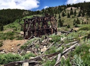
4.3Back in the late 1800s, Ashcroft, Aspen, and Independence were booming mining town. While Aspen is still thriving today, Ashcroft and Independence are ghost towns. Independence Ghost Town is on Independence Pass, 16 miles east of Aspen on Highway 82. The Farwell Mill sits right along the highwa...Read more -
Twin Lakes, Colorado
Kayak Twin Lakes
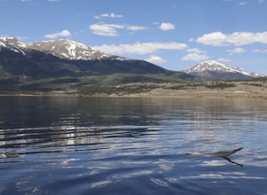
Twin Lakes are two bodies of water that are connected by a short run of water with a dam at the eastern end. There are a few different places to put in your boat including boat ramps by the access point on the east end of the lake. There is also a boat ramp and a place to seasonally rent boats by...Read more -
Idaho Springs, Colorado
Explore Fall River Reservoir
4.01 mi / 144 ft gainThis spot may be a little more difficult to reach than others, but the payoff is worth it. You'll start by taking a dirt road that splits off from Fall River Road. It is pretty easy going for the first mile or so, but then you'll want to make sure you have a little higher clearance 4x4 vehicle to...Read more -
Idaho Springs, Colorado
Chinns Lake Trail
4.02.7 mi / 741 ft gainChinns Lake Trail is an out-and-back trail that takes you by a lake located near Idaho Springs, Colorado.Read more -
Evergreen, Colorado
Watch the Sunset from Mt Evans Road
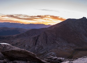
5.0Leave Evergreen, CO and access the Mount Evans Road and Mount Evans Recreation Area from Squaw Pass, CO 103 at Echo Lake.Drive along the slopes of Mount Evans, a Colorado 14er standing at 14,264 ft. 5 switchbacks down from the summit, on a tight hairpin turn, is a small parking area near 13,900f...Read more -
Evergreen, Colorado
Mount Evans and Mount Spalding Loop
4.38.47 mi / 1706 ft gainMount Evans is a simple, yet drop dead gorgeous 14er. That being said, no 14er is easy by any means. However as far as 14er's go, this is a cake walk. Coming in at a rating of class 2, there tends to be some scrambling but nothing a well balanced person can't handle. To begin this adventure, we ...Read more -
Buena Vista, Colorado
Hike to the Historical Interlaken Resort
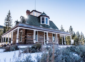
5.06 mi / 500 ft gainFollow Colorado Highway 24 South from Leadville for 14 miles, then turn right onto Colorado 82 towards Aspen. Turn left onto County Road 25, then follow the road for 1 mile to a small parking area for the Colorado Trail. You have arrived!This trail starts near 9,200 feet of elevation and while yo...Read more

