Twin Lakes, Colorado
Looking for the best photography in Twin Lakes? We've got you covered with the top trails, trips, hiking, backpacking, camping and more around Twin Lakes. The detailed guides, photos, and reviews are all submitted by the Outbound community.
Top Photography Spots in and near Twin Lakes
-
Estes Park, Colorado
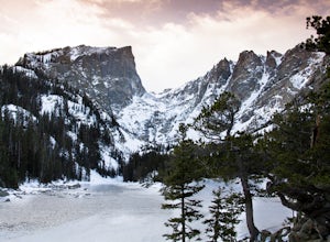
Winter Camp at Moraine Park
5.0For the extra-adventurous (my friends call me crazy for this), I recommend experiencing Rocky Mountain National Park in the off-season, when nobody else is there. Dead winter.Of course, you'll want to be uber prepared if you choose to take on this adventure, as the mountains are very unforgiving,...Read more -
Estes Park, Colorado
Hike to Cub Lake
5.04.6 mi / 645 ft gainRocky Mountain National Park showcases 355 miles of hiking trails, 6 campgrounds, and hundreds of backcountry camp sites. The cost to enter the park is $20.00 per vehicle, I recommend buying the annual National Parks Pass for $80.00. Cub Lake is an excellent trail for viewing wildlife. There ar...Read more -
Dillon, Colorado
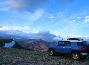
Off-Road to Glacier Mountain
5.07.4 mi / 2100 ft gainThe trail begins just past historical Main Street Montezuma. You will see a sign on your right for St. Johns road. This road is officially marked as 275 on a map. The original road lead to St. Johns but not much of the town remains.You will cross the Snake River almost immediately after you turn ...Read more -
Jefferson, Colorado
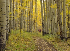
Colorado Trail: Kenosha Pass to FR 130
4.66.81 mi / 938 ft gainThe Colorado Trail (http://www.coloradotrail.org) is 500 miles long and stretches from Denver to Durango. Perhaps the most-traveled portion of the Colorado Trail is at Kenosha Pass. Kenosha Pass is well-known for its thick, colorful stands of aspen in the fall. During peak leaf season (late Septe...Read more -
Fraser, Colorado
Summit Byers Peak
8.8 mi / 2774 ft gainThe drive to the start of the trail is okay, having a high clearance vehicle would make the drive easier, but is not necessary. Free parking is available along the side of the road.The trail starts on a closed service road at a gate and requires you to either hike or bike up the dirt road (2 mil...Read more -
Fort Collins, Colorado
Hike to Horsetooth Rock
4.55 mi / 1440 ft gainThe Horsetooth Mountain Park Open Space is located just 4 miles from Fort Collins. The 2,886 acre park offers 29 miles of hiking, biking, and horse back riding trails.Having taken both the multi use trail and the hiking only trail, I recommend the hiking only. This trail offers you the views and ...Read more -
Sedalia, Colorado
Backpack the Lost Creek Loop
33.5 mi / 6200 ft gainLost Creek Wilderness may be my favorite part of Colorado. It contains varied terrain and geography, and is less crowded than most places. This loop will take you through everything the wilderness area has to offer. You will get sweeping panoramas of mountain ranges to the south, as well has m...Read more -
Sedalia, Colorado
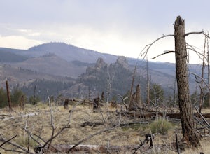
Camp at Goose Creek
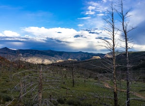
3.08 mi / 1300 ft gainGoose Creek is a fantastic spot to hike or camp. There is a dirt road leading to the trailhead, and it winds through the mountains and offers a great view of the valley. The dirt road is relatively easy and well-maintained. The burn scar from the Hayman fire is still really evident, so there are ...Read more -
Estes Park, Colorado
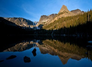
Backpack to Odessa Lake via Fern Lake Trailhead
4.09.65 mi / 1890 ft gainOdessa Lake seems to be one of the true hidden gems of Rocky Mountain National Park. Don't get me wrong, you will likely see some folks there, but it is a far cry from the other crowded Bear Lake trailhead lakes. There are two ways to reach Odessa; one, from the Bear Lake Trailhead, and the oth...Read more -
Estes Park, Colorado
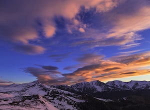
Hike along Tombstone Ridge
4.3 mi / 3250 ft gainTombstone ridge can be accessed via the ute trail from two directions. The lower trail starts at upper beaver meadows and is ~4.3 miles with 3250 feet of elevation gain. It can also be accessed at the Ute trail crossing along trail ridge road, which leaves you a 1.1 mile hike with just under 300 ...Read more -
Woodland Park, Colorado
Climb at Turkey Rocks
5.0Looking for a place to hone your crack climbing technique? Turkey Rocks is the place with some old school ethics and stiff grades. Turkey can be accessed from the town of Westcreek north of Woodland Park. From here, head west on Abbey Road and then south on West Creek Ave. About a mile down t...Read more

