Silverthorne, Colorado
Looking for the best photography in Silverthorne? We've got you covered with the top trails, trips, hiking, backpacking, camping and more around Silverthorne. The detailed guides, photos, and reviews are all submitted by the Outbound community.
Top Photography Spots in and near Silverthorne
-
Leadville, Colorado
Mt. Democrat (CLOSED)
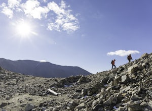
4.84 mi / 2150 ft gainNOTE: As of March 2023, access to parts of this loop that are on private property (including Mt. Democrat & Mt. Lincoln) are closed to the public indefinitely. (Source) To begin this wonderful hike, drive from the town of Alma, Colorado and head up Buckskin Street for about 6 miles. I would ...Read more -
Leadville, Colorado
Mounts Democrat, Lincoln, Cameron and Bross (CLOSED)
4.08 mi / 3500 ft gainNOTE: As of March 2023, access to parts of this loop that are on private property (including Mt. Democrat & Mt. Lincoln) are closed to the public indefinitely. (Source) Find your way to the Kite Lake trailhead near Alma, Colorado. The road up to the trailhead is suitable for most vehicles, i...Read more -
Breckenridge, Colorado
Discover Ancient Trees on Windy Ridge
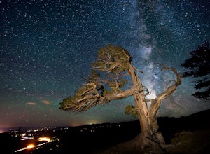
The Windy Ridge Bristlecone Pine Scenic Area is a remote stand of trees off a 4WD road near Alma, Colorado. This grove of bristlecone pines was given protected status in 1964 due to its uniquely shaped trees influenced by the winds blasting off nearby 14er, Mount Bross. The area sits at 11,700 ...Read more -
Idaho Springs, Colorado
Hike to Hell's Hole
4.5The name is uninviting, but Hell’s Hole is a scenic, shallow basin in the Mount Evans Wilderness near Idaho Springs. Starting elevation is about 9500 feet. Right after the trailhead, you pass through a few camping sites in the Chicago Creek Picnic Area. About five minutes into the hike is the per...Read more -
Jefferson, Colorado
Colorado Trail: Kenosha Pass to FR 130
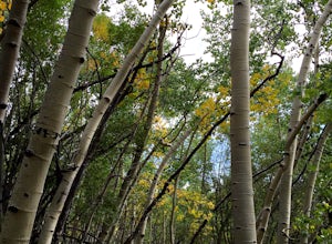
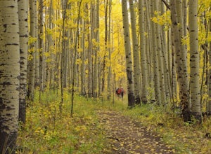
4.66.81 mi / 938 ft gainThe Colorado Trail (http://www.coloradotrail.org) is 500 miles long and stretches from Denver to Durango. Perhaps the most-traveled portion of the Colorado Trail is at Kenosha Pass. Kenosha Pass is well-known for its thick, colorful stands of aspen in the fall. During peak leaf season (late Septe...Read more -
Evergreen, Colorado
Watch the Sunset from Mt Evans Road
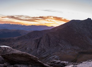
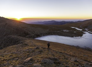
5.0Leave Evergreen, CO and access the Mount Evans Road and Mount Evans Recreation Area from Squaw Pass, CO 103 at Echo Lake.Drive along the slopes of Mount Evans, a Colorado 14er standing at 14,264 ft. 5 switchbacks down from the summit, on a tight hairpin turn, is a small parking area near 13,900f...Read more -
Evergreen, Colorado
Mount Evans and Mount Spalding Loop
4.38.47 mi / 1706 ft gainMount Evans is a simple, yet drop dead gorgeous 14er. That being said, no 14er is easy by any means. However as far as 14er's go, this is a cake walk. Coming in at a rating of class 2, there tends to be some scrambling but nothing a well balanced person can't handle. To begin this adventure, we ...Read more -
Idaho Springs, Colorado
Camp at Chinns Lake
Take the road as if you are going to St. Mary's Glacier, but you will take a left off the road (next to a very nice house) before the road makes a sharp right turn to go up hill. The road is a smooth dirt road for about a mile, but gets very rocky after that and you will need a good off road vehi...Read more -
Idaho Springs, Colorado
Explore Fall River Reservoir
4.01 mi / 144 ft gainThis spot may be a little more difficult to reach than others, but the payoff is worth it. You'll start by taking a dirt road that splits off from Fall River Road. It is pretty easy going for the first mile or so, but then you'll want to make sure you have a little higher clearance 4x4 vehicle to...Read more -
Idaho Springs, Colorado
Snowshoe Jim Creek Trail
5 mi / 965 ft gainStarting at 9,220 feet of elevation, this 5 mile out-and-back snowshoe begins its 965 foot elevation gain meandering through a quiet forest. The trail will take you through the woods for a few miles, and you can turn around whenever you like. If you're up for a challenge and have a lot of time, y...Read more -
Idaho Springs, Colorado
Lower and Upper Chicago Lake
4.59.22 mi / 2270 ft gainFrom the parking lot, stay to the right of Echo Lake and you will run into the Chicago Lakes Trailhead. Follow the switchbacks down and across Chicago Creek. After crossing the creek, follow the sign indicating that the trail follows the dirt road and hang a left; from here, you'll reach the Idah...Read more -
Idaho Springs, Colorado
Explore Echo Lake Park
4.01.2 mi / 88 ft gainLocated at the base of Mt. Evans Road, Echo Lake sits next to Squaw Pass Road, providing a great jumping-off point for numerous adventures. The park serves as a trailhead for hiking or snowshoeing into the Mount Evans Wilderness, offers picnic areas, and includes a nearby campground with 17 site...Read more -
Idaho Springs, Colorado
Hike to Idaho Springs Reservoir
3.9 mi / 800 ft gainThis is a great hiking area an hour outside of Denver, Colorado. It's still easily accessible in the winter and most of the time it can be hiked without snowshoes. Starting at the Echo Lake parking lot, hike around the right side of the lake until you reach a fork in the trail. Follow the path on...Read more -
Idaho Springs, Colorado
Camp and Fish at Loch Lomond
5.0The trail to Loch Lomond is very rocky. I suggest a high clearance 4x4 vehicle (I did see a small SUV and a Subaru..Not sure how they did it!!!). There are a few campsites at the lake and several along the way. I set up camp by the lake but had to move because the wind was so intense. I recommend...Read more -
Idaho Springs, Colorado
Hike to Loch Lomond
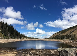
5.04.6 mi / 948 ft gainWhen you start the hike to Loch Lomond, you'll have a few options for parking. The further up the road you go the trickier it's going to be to get back out. I parked at the bottom of the road and hiked my way up. The first mile or two is mostly elevation gain and to be quite honest I thought I wa...Read more -
Idaho Springs, Colorado
Explore 'The Hidden Gems' of Loch Lomond
5.04.6 mi / 950 ft gainGetting There From Denver, go W on I-70 and take exit 238 for Fall River Rd. Continue on this road before taking a left on Alice Rd. Continue on Alice Rd. until you see the right hand turn for Steuart Rd. This is where you park. Do not attempt this road in a AWD or 2WD you definitely need a good ...Read more

