Silverthorne, Colorado
Looking for the best photography in Silverthorne? We've got you covered with the top trails, trips, hiking, backpacking, camping and more around Silverthorne. The detailed guides, photos, and reviews are all submitted by the Outbound community.
Top Photography Spots in and near Silverthorne
-
Granby, Colorado
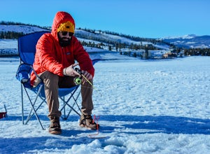
Ice Fish on Lake Granby
Looking to catch some fresh trout? This might be the place to get it! If it's your first time fishing Lake Granby, here's some pointers:Those of you coming from Denver, take US 40W past Winter Park, Fraser and Tabernash until you hit Granby. After you pass through the town of Granby, turn right o...Read more -
Granby, Colorado
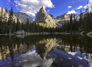
Mirror and Crater Lakes via Cascade Creek Trail
4.614.94 mi / 2421 ft gainStart at the Monarch Lake trailhead (where there is a $5 parking fee unless you have one of the national lands passes) and follow the cascade creek trail around the north side of the lake. After about 1.5 miles the trail splits with the Arapaho pass trail, follow the cascade trail to the left as ...Read more -
Nederland, Colorado
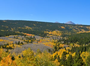
Drive the Peak to Peak Highway
4.555 mi / 705 ft gainThe Peak to Peak Highway is a 55-mile stretch of road that winds its way from Nederland to Estes Park (or Estes Park to Nederland). This road connects to many points of exploration, Indian Peaks Wilderness Area and Rocky Mountain National Park to name a couple, but the drive itself is an adventur...Read more -
Golden, Colorado
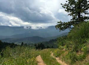
Hike the Elk Range Trail
2.5This is an incredible and beautiful hike that is just off of Route 6 but feels a million miles away. Drive up Douglas Mountain Road for the west park access (and I do mean UP - it's a quick elevation gain), and you'll run right into the Centennial Cone Park entrance. There is a bathroom and a dec...Read more -
Leadville, Colorado
Hike Mount Massive
4.8Starting from the Mt Massive Trailhead off of Halfmoon Creek Road (a half mile past the more popular Mt Elbert Trailhead), follow the excellent and easy trail into the woods. This trail is wide and abnormally flat for a 14er trail for the first three miles. During these first 3 miles the only rea...Read more -
Evergreen, Colorado
Maxwell Falls
3.43.95 mi / 928 ft gainLocated just outside of Evergreen, this beginner hike is a great escape from the city for a few hours. There are three different options to hike to the falls: Maxwell Falls Lower Trail (4 miles), Upper Maxwell Falls Trail (1.1 miles), and Maxwell Falls Bluffs Cliffside Trail Loop (5 miles). On th...Read more -
Conifer, Colorado
Elk Falls Loop
3.512.76 mi / 1893 ft gainBegin on Staunton Ranch Trail for 3.3 miles. Switch to Bugling Elk Trail for the next 1.1 miles, then to Lion's Back Trail for the last mile to the overlook. From here, you can create the loop by backtracking to the Chimney Rock Trail, which then connects with the Elk Falls Trail. To head back to...Read more -
Meredith, Colorado
Hike to Chapman Lake
1.6 miFrom downtown Basalt, drive up the Fryingpan River Road 28 miles and turn right on CR #504, also known as Elliot Way, just before Norrie Colony. Drive across the river and up the switchbacks for approximately 3 miles. Take the left fork, continue 1 mile and take the right fork approximately 1/2 m...Read more -
Evergreen, Colorado
Evergreen Mountain Loop
4.75.89 mi / 0 ft gainThe way up Evergreen Mountain is actually a few different trails stitched together throughout Alderfer/Three Sisters Park. The trail connects to both parking lots in the park, so if one is full you can just start from the other one, giving you lots of options for a quick day-hike. If you start ...Read more -
Jefferson, Colorado
Backpack Lost Creek
4.05 miI included a trail map of where I camped. There are many sites all throughout this area. From the Lost Park Campground Parking lot follow the Lost Creek for 2.4 miles. At the 1 mile mark was the best place that we found to cross the creek (there are two logs that make a bridge across the creek). ...Read more -
Buena Vista, Colorado
Backpack the Buffalo Peaks Wilderness Loop
5.011.7 mi / 2000 ft gainStarting at the Rich Creek Campground this wonderful moderate hike forms a loop by connecting the Rich Creek Trail and the Tumble Creek trail. in the Buffalo Peaks wilderness. Flanked by the Collegiate Peaks, in Spring and Summer the area is awash with rushing creeks, lush wet lowlands & deep...Read more -
Kremmling, Colorado
Camp at Wolford Mountain Reservoir
If a nice relaxing adventure is what you seek, this is the place for you. There aren't a lot of super scenic, adrenaline pumping hikes at this campground, but there are well established campsites with beautiful sunrise and sunset views. If you're a photographer, the midnight sky on a moonless nig...Read more -
Gypsum, Colorado
Explore Hardscrabble Mountain
Depending where you choose to access the Hardscrabble area from, this can be a fairly easy day hike or an overnight camping trip. If looking for a shorter day hike, access the Hardscrabble area by way of Hardscrabble Mountain Rd. From the town of Eagle, head South on Sylvan Lake Rd. In 5 miles, t...Read more -
Golden, Colorado
Hike to Forgotten Valley
4.33.6 mi / 852 ft gainThere are over 35 miles of hiking trails in the park. The twelve trails in Golden Gate Canyon State Park are named after an animal and marked with the animal’s footprint.For a 2.6 round trip hike, start at the Burro Trailhead in Golden Gate Canyon State Park. You’ll immediately cross over a lit...Read more -
Ward, Colorado
Lake Isabelle via Long Lake Trailhead
4.54.09 mi / 374 ft gainStart at the Pawnee Pass Trail No. 907 Trailhead. Long Lake is about 2 tenths of a mile and Lake Isabelle is 2 miles from the trailhead. Keep an eye out for moose grazing in the bushes or in the water near Long Lake. This is a 4 mile out and back hike with well marked trails. For an 8.75 mile hi...Read more -
Ward, Colorado
Isabelle Glacier
5.08.62 mi / 1578 ft gainGetting There The trailhead can be reached from Boulder by driving west through Boulder Canyon on Highway 42 to Nederland, then going north on the Peak-to-Peak Highway 72 to the town of Ward. From there, a National Forest Sign on the west side of the highway provides directions to the ranger stat...Read more

