Colorado
Looking for the best running in Colorado? We've got you covered with the top trails, trips, hiking, backpacking, camping and more around Colorado. The detailed guides, photos, and reviews are all submitted by the Outbound community.
Top Running Spots in and near Colorado
-
Colorado Springs, Colorado
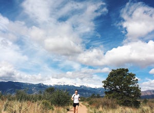
Run the Yucca Flats Trails at Palmer Park
3 miThe Basics:It might be easy to overlook Palmer Park if you're planning an adventure outing in Colorado Springs, but definitely don't discount this inner-city oasis! It took me many years to memorize Palmer Park's confusing trail system (the trail maps don't help), but whether this will be your fi...Read more -
Silver Plume, Colorado
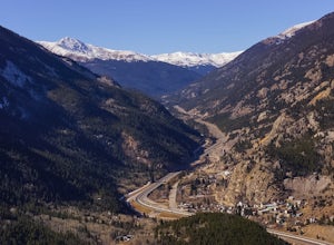
Argentine Railroad Grade
5.05.35 mi / 863 ft gainThe Argentine Central Railroad Grade trail is just what it says: it follows the old rail bed of the Argentine Central line. All railway remnants have long since been removed, and in its place is a wide, well-defined trail with an easy grade. With just a 900-foot incline over the course of about t...Read more -
Ridgway, Colorado
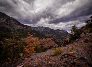
Running to Grizzly Bear Mine
Bear Creek Trail, which leads to Grizzly Mine, is located just 2 miles outside of Ouray, Colorado on Highway 550 immediately following the first tunnel. There's two parking lots, a large one and a small one, the trail leads from the small parking lot over the tunnel and highway. There are no bath...Read more -
Gunnison, Colorado
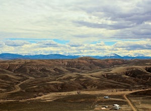
Camp at Hartman Rocks
3.0Just 3 miles outside the small south central town of Gunnison, Colorado lies Hartman Rocks recreation area. This 8000 acre open space includes 40 miles of single track trails as well as 33 miles of road. Camping at Hartman Rocks is the perfect way spend a relaxing night, or get an early start to ...Read more -
Steamboat Springs, Colorado
Hike to Mad Creek Barn
3.0Surrounded by ranches, barns are a common sight around Steamboat Springs, Colorado. There’s a great hike you can do to an old homestead to enjoy one of the best old barns in the area. Mad Creek Trail is a favorite hike of locals and tourists in Steamboat. The Mad Creek Trailhead is about 5 miles ...Read more -
Carbondale, Colorado
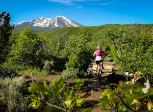
Mountain Bike Prince Creek
Turn south off Colorado State Highway 82 onto Highway 133 toward Carbondale. Continue south past the Carbondale Main Street roundabout. After two miles, turn East onto Prince Creek Road. Follow this four miles to where the pavement ends. This is the best place to park to start biking or running.F...Read more -
Nederland, Colorado
Hike to Columbine Lake
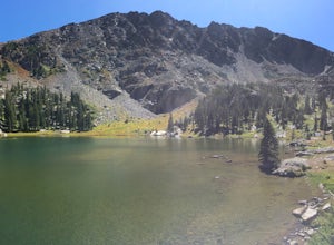
5.07 mi / 1200 ft gainThe hike is about seven miles, give or take, however it feels longer. The elevation gain is little over 1000 feet. The drive here is about 45 minutes from both Granby and Winter Park, and is definitely worth it. You follow a trail dusted with wildflowers for the majority of the hike, and occasio...Read more -
Franktown, Colorado
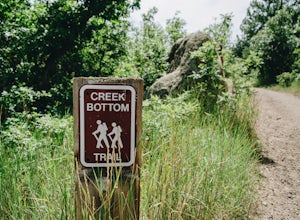
Hike the Creek Bottom Trail
5.04.1 miThe West Side of Castlewood Canyon is the more "rugged" side of the park, it has a dirt road, gravel parking lots, and only vault toilets. Luckily, this also means this is a less popular side of the park, making for less crowded trails and easier parking! Park at the first trailhead, for the Hom...Read more -
Fort Collins, Colorado
Hike the North Loop via Foothills Trail
5.06.5 mi / 700 ft gainDespite its singular name, the Foothills Trail in Fort Collins is an interconnected series of trails that follows the ridges and hogsbacks which comprise the majority of the eastern side of the Horsetooth Reservoir. The trail can be accessed at several points along its length (by trails also call...Read more -
2203-2407 County Road 12, Colorado
Camp at Kebler Pass
4.5Camping on Kebler Pass begins at around GPS: 38.89575, -107.214655. The pass is only available during the warmer summer months but is quite the treat. We went in August to catch an eclipse and the rolling free hills made it a great place to view from. You pass a reservoir on your way in where man...Read more -
Buena Vista, Colorado
Hike Davis Meadow
5.08.6 mi / 800 ft gainThis is a great hike that is very close to Buena Vista, CO. This trail is on the east side of town and is accessible in the spring. The hardest part of the hike is locating the trail-head. It is located in the northern part of Four Mile Canyon and is in San Isabel National forest. Starting in Bue...Read more -
Littleton, Colorado
Hike or Bike Hildebrand Ranch
4.05.1 mi / 324 ft gainHildebrand Ranch Park is often overshadowed by the other nearby Jeffco Parks, but for the few that it does attract the trails do not disappoint. The Two Brands Trail starts at about 5600ft just off of Deer Creek Canyon Rd. It is a relatively flat trail that tops out at about 5821ft making it a...Read more -
Crested Butte, Colorado
Hike Gothic Mountain
6.5 mi / 3025 ft gainThe Gothic mountain trailhead starts at 9600' about 10 miles outside Crested Butte, Colorado. A four wheel or all wheel drive vehicle is recommended to make it to the trail head. Take trail 403 which will eventually turn into Gothic Mountain trail around mile 2.5. The single track trail winds thr...Read more -
Golden, Colorado
Hike the Mountain Lion Trail
6.7 mi / 1230 ft gainThere are three parking lots with direct access to the Mountain Lion Trail. The main one is off of Crawford Gulch Road, but any of them are good starting points! This loop has pretty similar elevation gain and loss profiles no matter which way you go, so you can go any direction. This adventure ...Read more -
Breckenridge, Colorado
Hike to & Stay at Francie's Cabin
5.01.09 mi / 1000 ft gainLocated at 11,360' and owned by the 10th Mountain Division Hut Association, Francies Cabin was built in memory of Frances Lockwood Bailey in 1994 and is located just a short distance (5 mile drive, 1.05 mile hike) from town of Breckenridge, Colorado. It has a summer and winter capacity of 20 peop...Read more -
Franktown, Colorado
Hike the Rim Rock Trail
4.98 miThe West Side of Castlewood Canyon is the more "rugged" side of the park, it has a dirt road, gravel parking lots, and only vault toilets. Luckily, this also means this is a less popular side of the park, making for less crowded trails and easier parking! Park at the first trailhead, for the Hom...Read more

