Pine, Colorado
Looking for the best hiking in Pine? We've got you covered with the top trails, trips, hiking, backpacking, camping and more around Pine. The detailed guides, photos, and reviews are all submitted by the Outbound community.
Top Hiking Spots in and near Pine
-
Berthoud Pass Parking Lot, Colorado
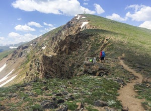
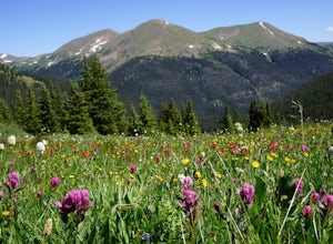
Mount Flora
5.06.29 mi / 1788 ft gainColorado’s Rocky Mountains offer hikes of all lengths, sizes and difficulties. Mt. Flora stands at a lofty 13,146 ft and is a great intro to climbing peaks in Colorado. Roundtrip, this hike is 6.3 miles and will take you (in the summer) through fields of alpine wildflowers as you climb into Color...Read more -
Breckenridge, Colorado
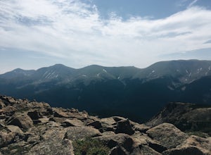
Camp at Boreas Pass
9 mi / 1500 ft gainBoreas pass is a high mountain pass in the Rocky Mountains that sits on the Continental Divide at 11,481'. Forest Service Road 33 goes over the pass and has numerous campsites all along its length, with several near the summit that feature breathtaking views of the Tenmile Range and the Breckenri...Read more -
Winter Park, Colorado
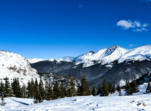
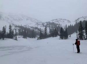
Snowshoe to Broome Hut
1.5 mi / 729 ft gainTake I-70 from Denver and then US 40, go all the way to Mile marker 240 of US 40 and park in the area at the side of the road. The Second Creek trail head is just behind the parking area and is easy to find.The trail climbs from a start at 10,600ft and finishes up at 11,325ft at the hut, but you ...Read more -
Winter Park, Colorado
Twin Cones via Second Creek Trailhead
5.04.85 mi / 1614 ft gainThis hike begins at Second Creek Trailhead off of US Highway 40. It's pretty steep right off the bar gaining about 800ft of elevation in the first mile. This first mile takes you to Broome Hut, which has a bathroom and is a great place to stop and take a break. Keep in mind that there are no dogs...Read more -
Aurora, Colorado
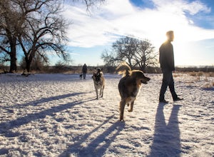
Walk the Cherry Creek Dog Off-Leash Area
4.53 miCherry Creek Dog-Off Leash Area is an extended part of Cherry Creek State Park and encompasses 107 acres of fenced-in play area. Within the park there is a 3 mile loop trail that takes you through the trees and along the Cherry Creek. What makes this park so great is the several access points to ...Read more -
Boulder, Colorado
Rattlesnake Gulch Trail
3.49 mi / 1093 ft gainRattlesnake Gulch Trail is a loop trail that takes you by a river located near Eldorado Springs, Colorado.Read more -
Boulder, Colorado
Hike the Rattlesnake Gulch Trail
4.35.3 mi / 1304 ft gainRattlesnake Gulch Trail is located in Eldorado Canyon State Park. It is a short 20 minute drive from Boulder and is one of three hikes in the park. You will need to pay an entrance fee to get inside to the park which costs $8. The trail is approximately 2.8 miles one way and carries a consistent ...Read more -
Parshall, Colorado
Ski or Snowshoe Jones Pass
4.06 mi / 1600 ft gainIts sister trail, Butler Gulch, is an all-time favorite hike (both summer and winter), and since they share a trailhead, I knew Jones Pass would be special as well.Jones Pass is not the type of trail I normally take, since it is actually a 4x4 road that is used for Jeeping in the summer and snowm...Read more -
Boulder, Colorado
Hike the Flatirons Vista Loop Trail
4.73.3 miFrom the parking lot, take South Flatiron Vista Trail for 2.4 miles, where you'll cross onto North Flatiron Vista Trail. In 1 mile, take the connector trail back to the trailhead. To shorten the loop to 2 miles, hike South Flatiron for just 1 mile to Prairie Vista Trail, which leads back to the c...Read more -
Boulder, Colorado
Hike the Eldorado Canyon Trail
4.56.3 mi / 1875 ft gainEldorado Canyon Trail makes for a great day hike, with great views and a steady, challenging uphill – bring lots of water!For something shorter, try Streamside Trail (1 mile roundtrip), Fowler Trail (1.4 miles), or Rattlesnake Gulch (2.8 miles). Streamside, appropriately, leads you alongside a cr...Read more -
Parshall, Colorado
Butler Gulch
4.55.26 mi / 2008 ft gainButler Gulch is a pristinely beautiful day hike in the heart of the Arapaho National Forest near Idaho Springs, Colorado. Easily accessible from Denver, Butler Gulch is full of jaw-dropping views in all seasons, and anyone in good health can enjoy this gem. The hike is five miles long and rated ...Read more -
Nederland, Colorado
Explore the Historic Railroad Route up Rollins Pass
5.0Rollin's Pass Road is a dirt road that follows an old railroad route from the historic town of Tolland, over the Continental Divide, and into Fraser. The road no longer allows you to drive over the summit, due to a partial tunnel collapse, but the road still takes you to within a short hike of th...Read more -
Breckenridge, Colorado
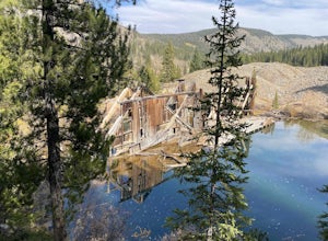
B&B to Reiling Dredge to Minnie Mine
4.02.84 mi / 436 ft gainB&B to Reiling Dredge to Minnie Mine is a loop trail that provides a good opportunity to view wildlife located near Breckenridge, Colorado.Read more -
Nederland, Colorado
Upper Forest Lakes Trail
7.86 mi / 1778 ft gainUpper Forest Lakes Trail is an out-and-back trail that takes you by a river located near Rollinsville, Colorado.Read more -
Woodland Park, Colorado
Red Rocks at Woodland Park
4.31 mi / 100 ft gainIn Woodland Park driving on HWY 24 towards Divide, you will see signs for HWY 67 which is where you'll need to get to. The Road will fork towards the end of town (left being 24 towards Divide, Right being 67). Stay right at the fork onto 67. You will then drive about 2 miles until you see a sign ...Read more -
Nederland, Colorado
3 Crater Lakes via South Boulder Creek
5.06.92 mi / 1804 ft gainAfter turning on to Co. 16 (Tolland Rd.) from 119 at Rollinsville, drive about 8 miles down the dirt road along South Boulder Creek. The road will dead end at Moffat Tunnel where you'll find ample parking in a gravel lot with restrooms. You'll begin your hike along sweeping meadows until you ent...Read more

