Parlin, Colorado
Looking for the best photography in Parlin? We've got you covered with the top trails, trips, hiking, backpacking, camping and more around Parlin. The detailed guides, photos, and reviews are all submitted by the Outbound community.
Top Photography Spots in and near Parlin
-
Crested Butte, Colorado
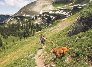
Blue Lake via Oh Be Joyful Campground
12.96 mi / 2201 ft gainOverview: Round Trip is about 13 miles, about 500 ft ascent at the beginning and 1500 ft ascent in the last 1.5 miles. The majority of the hike is flat and through an AMAZING valley. Getting There: Blue Lake Trailhead is located at Oh Be Joyful Campground on Slate River Rd, just across a river,...Read more -
Crested Butte, Colorado
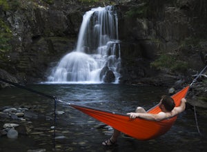
Explore the waterfalls of Oh Be Joyful Creek
If you're not already camping there, park at Oh Be Joyful Campground, about 5 miles up County Road 734 from downtown Crested Butte. There's parking on either side of the river crossing, but you're going to have to get your feet wet anyway, so might as well park in the first parking lot and walk a...Read more -
Nathrop, Colorado
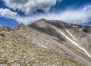
Hike Mt. Princeton
4.513.25 miStarting at 8900 feet of elevation, this 13.25 mile roundtrip hike begins its 5400 foot elevation gain on a dirt road that winds for 3 miles until you break the treeline. If you have 4WD and good clearance you can drive most of the way up this road, shortening your entire hike by about 6 miles. J...Read more -
Somerset, Colorado
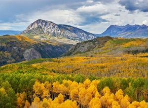
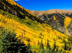
Hike the Dyke to Dark Canyon Loop
4.06.5 mi / 1700 ft gainKebler Pass near Crested Butte is a leaf peepers paradise considering that one of the largest groves of aspens in Colorado makes its home here. If you want those postcard views of rugged mountain peaks and vibrant aspens, then I recommend hiking the Dyke Trail to Dark Canyon loop. Put this on you...Read more -
Buena Vista, Colorado
Hike Huron Peak
5.06.5 miIf you have a 4WD vehicle, drive 2 miles from Winfield along a dirt road to the trailhead. If you don't have a suitable vehicle, you can park before the road gets rough and hike the rest of the road to the trailhead.Starting at 10560 feet of elevation, this 6.5 mile roundtrip hike begins its 3500...Read more -
Crested Butte, Colorado
Hike to Judd Falls
3.02.5 mi / 220 ft gainStarting at 9600 feet, just outside the small town of Gothic is the trail head for Judd Falls. The parking lot is on the side of the road and getting to this area is completely possible with a passenger car. The trailhead includes bathrooms and is particularly uncrowded on weekdays and in the lat...Read more -
Somerset, Colorado
Camp at Lost Lake Slough
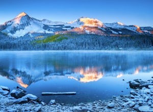
5.0Lost Lake Slough offers camping, hiking, photography, kayaking, and more in a remote and beautiful part of Colorado. At an elevation of over 9,600 ft., the lake typically opens in mid-June after the snow is melted, and closes in October after the first significant snowfall. The campground is on...Read more -
Crested Butte, Colorado
Hike Gothic Mountain
6.5 mi / 3025 ft gainThe Gothic mountain trailhead starts at 9600' about 10 miles outside Crested Butte, Colorado. A four wheel or all wheel drive vehicle is recommended to make it to the trail head. Take trail 403 which will eventually turn into Gothic Mountain trail around mile 2.5. The single track trail winds thr...Read more -
Somerset, Colorado
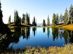
Hike the Three Lakes Trail
5.04.5 mi / 580 ft gainThe Three Lakes trail near Crested Butte is a great loop if you're looking to hit up a couple mountain lakes. At 4.5 miles with moderate incline, this trail can easily be knocked out in under 2 hours. It also is a great hike to admire fall colors as you'll get great views of the Ruby Range and th...Read more -
Aspen, Colorado
Backpack to Copper Lake
10 miLooking for a wildflower hike, we decided on Copper Lake in the Maroon Bells Wilderness as a place to base camp for 4 nights. It is 5 miles from the Trailhead, which is off Gothic Road above Crested Butte (2WD Accessible).Copper Lake is this beautiful alpine lake, situated right at treeline, with...Read more -
Aspen, Colorado
Castle Peak and Conundrum Peak
5.012.71 mi / 5125 ft gainThere are many different places to start the trek up to Castle and Conundrum. The first step, however, is always go to the end of Castle Creek Road just outside of Aspen, CO. When the paved road ends, there is parking available right off the road for those who don't wish to drive further. Howe...Read more -
Crested Butte, Colorado
Hike Rustler's Gulch
5.09 mi / 1748 ft gainFrom Crested Butte, continue 6 miles past the town of Gothic to Rustler's Gulch Road. Turn right on the road, cross the East River to get to a small parking area near the river. If you don't have 4WD, park here and hike another 1/2 mile to the trailhead. It's a pretty steep hike. If you do have 4...Read more -
Aspen, Colorado
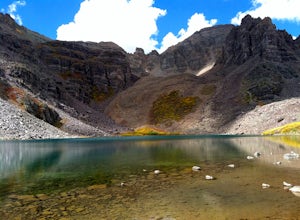
Backpack Cathedral Lake
4.75.6 mi / 2000 ft gainCathedral Lake offers an excellent alternative to escape the crowds that swarm the Maroon Bells area, especially in the peak autumn season. The drive along Castle Creek Rd towards the abandoned ski town Ashcroft is lined with aspens showing off their golden hues. Parking at the trailhead is plent...Read more -
Carbondale, Colorado
Camp at Paradise Divide
At a literally breathtaking 11,250 feet, Paradise Divide offers seclusion and scenery that can't be beat. Just fifteen miles outside of the world renowned ski resort Crested Butte, this area boasts wildflowers, wildlife, stunning peaks, and opportunities to watch amazing sunrises and sunsets pain...Read more -
Aspen, Colorado
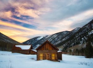
Hike or Snowshoe Castle Creek
6 miAt the round-a-bout that leads into the town of Aspen, take the Castle Creek Road exit. Follow this road for 12 miles until you get to the ghost town of Ashcroft. The road itself is very scenic, so be prepared to pull over and whip out your camera!During winter, the road ends at Ashcroft and a cr...Read more -
Buena Vista, Colorado
Mt. Belford and Mt. Oxford
4.510.34 mi / 5856 ft gainYou'll being your ascent at the Missouri Gulch Trailhead, which is located a few miles up Chaffee County Road 390, at around 9,600 feet. The trail is very clear and very well maintained, but is steeper than most trails (even quite a few of the 14er trails I've done) right from the get-go. Remembe...Read more

