Paradox, Colorado
Looking for the best photography in Paradox? We've got you covered with the top trails, trips, hiking, backpacking, camping and more around Paradox. The detailed guides, photos, and reviews are all submitted by the Outbound community.
Top Photography Spots in and near Paradox
-
Moab, Utah
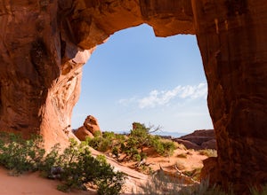
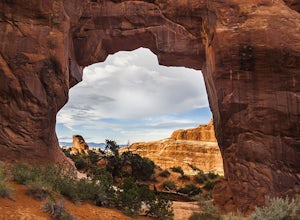
Pine Tree Arch
3.01.03 mi / 56 ft gainPine Tree Arch is one of several gorgeous arches in the Devil's Garden Area of Arches National Park, and is easily done as a quick detour on the way to the popular Landscape Arch. It is accessed from the Devil's Garden Trailhead, itself approximately 18 miles from the park entrance. From the Tra...Read more -
Moab, Utah
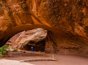
Navajo Arch via Devils Garden Trailhead
4.32.91 mi / 377 ft gainIn order to get to Navajo Arch, you will have to hike through Devils Garden Trailhead. The hike is relatively easy until you pass Landscape Arch. After that, the trail steadily climbs and you will find yourself scrambling and climbing up slickrock fins. You can stop and admire other well-known ar...Read more -
Moab, Utah
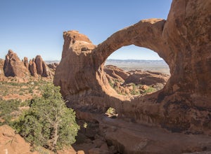
Double O Arch
4.64.09 mi / 390 ft gainStarting at the Devil's Garden Trailhead, this 4.1-mile looped moderate hike features flat sandy paths to narrow sandstone slabs with narrow ledges. The best time to complete this hike is early in the morning. Getting to the Devil's Garden Trailhead at sunrise will almost definitely guarantee you...Read more -
Grand County, Utah
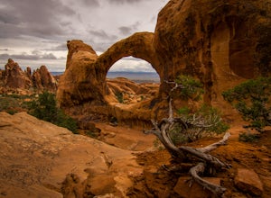
Devils Garden Primitive Loop
4.95.01 mi / 0 ft gainThis adventure begins at Devils Garden, which is a hotspot in Arches National Park. Most people take the shorter route to see Landscape Arch and then turn around, but the Primitive Loop, while challenging at times, is completely worth it. Starting from Landscape Arch, the loop will take you to se...Read more -
Grand County, Utah
Landscape Arch
2.8Landscape Arch is considered the longest natural arch in the world, and it doesn't take too much effort to experience and see. This arch is on a trail the is part of a larger loop called "Devil's Garden" and during the summer it lives up to its name, easily topping 100 degrees, the beautiful sand...Read more -
Grand County, Utah
Partition Arch
4.52.88 mi / 364 ft gainHiking to Partition Arch begins at Devils Garden Trailhead which is at the end of the 16 mile Arches Scenic Drive road. Make sure to get to the trailhead early for 2 reasons: beating crowds and beating the heat. Arriving at sunrise will almost guarantee you a parking spot. Budget 2-3 hours round...Read more -
Moab, Utah
Backpack the Lathrop Canyon Trail in Canyonlands
18 mi / 2130 ft gainAccess to this trailhead is a few miles south of the Islands in the Sky Visitor Center in Canyonlands National Park. An easy drive from Moab or Interstate 70. Remember to get permits and check in with the rangers if camping. If just doing a day hike then no permits are needed. REMINDER: There is ...Read more -
Mesa County, Colorado
Backpack along the Gunnison River in the Dominguez-Escalante NCA
5.03.4 miIf you're looking to take your first backpacking adventure, but want something that is manageable yet thrilling, this is what you're looking for. Located along the Gunnison River in Western Colorado, the Dominguez-Escalante National Conservation area is easy to access yet full of adventure and be...Read more -
Cisco, Utah
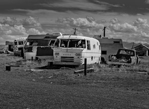
Explore the Ghost Town of Cisco
5.0On our way to Moab from Colorado we choose to take the scenic route when some friends told us about this little Ghost Town. I kept the family in the car as I explored around and took photos, as this place had a super creepy vibe. I kept getting this errie feeling that someone was watching me, and...Read more -
Moab, Utah
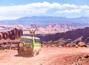
Drive Long Canyon Road
5.0Moab is an outdoor mecca, from rock climbing to mountain biking to 4WD adventures and while not particularly technical (it is only rated Class 2) the 7.8 mile Long Canyon Road just north of Dead Horse State Park is an excellent way to get a taste for the incredible features (and views) that the C...Read more -
Moab, Utah
Hike the Neck Spring Trail
5.8 mi / 260 ft gainWith minor changes in elevation, a couple easy scrambles and the opportunity to find your route by cairns, the Neck Spring Trail is the perfect way to get acquainted with Island in the Sky area of Canyonlands National Park.Starting at the Shafer Canyon Overlook parking lot, the Neck Spring trail ...Read more -
Monticello, Utah
Camp at Squaw Flat Campground
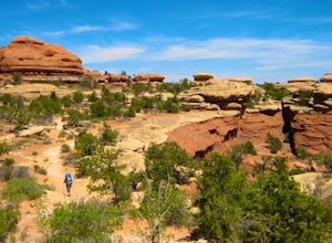
3.0Squaw Flat campground is an easily-accessed area full of picturesque campsites in Canyonlands National Park, Utah. It is located in the Needles District, which is well known for its colorful spires of Cedar Mesa Sandstone that cover the region. Campsite reservations must be made in advance at rec...Read more -
Moab, Utah
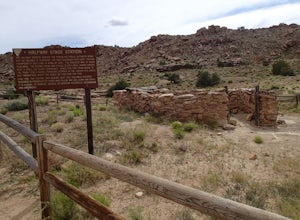
Explore the Halfway Stage Station
The Halfway Stage Station is a ruin site that is located off of Mill Canyon rd. This station served as the half way mark between Moab and Thompson which is where the train station was. It was 35 miles between Moab and Thomson so travelers would stop for lunch on there way to or from Thompson. The...Read more -
Monticello, Utah
Backpack to Chesler Park, Canyonlands NP
5.013 mi / 600 ft gainThe first draw of this adventure is the roadtrip to the trailhead itself. Set out pre-dawn from Moab, UT and head 77 miles south and west to the Needles District Visitors Centre on Utah 211. En route you'll pass Newspaper Rock, a treasured collection of pictographs well worth the detour if you're...Read more -
Moab, Utah
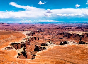
Hike the White Rim Overlook
3.01.8 mi / 160 ft gainIf you're entering Canyonlands from the north (Island in the Sky side), don't miss this quick hike! This hike is fairly level the entire way and not too long—perfect for kids. Follow Grand View Point Road down towards the middle of the park, then turn left at the sign for the White Rim Overlook. ...Read more -
Moab, Utah
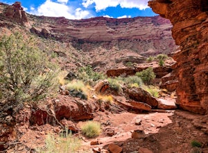
Hike the Gooseberry Trail in Canyonlands
4.04.2 mi / 1548 ft gainThis hike will take your breath away—literally. You will experience stunning views of Canyonlands National Park while literally stepping down the side of a cliff. Once you get to the valley floor, continue on to the smaller cliffs of the White Rim. To get there, follow Grand View Point Road down ...Read more

