Mesa, Colorado
Looking for the best photography in Mesa? We've got you covered with the top trails, trips, hiking, backpacking, camping and more around Mesa. The detailed guides, photos, and reviews are all submitted by the Outbound community.
Top Photography Spots in and near Mesa
-
Mesa County, Colorado
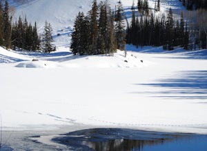
Snowshoe around Mesa Lakes
5.02 mi / 300 ft gainThis short loop trail starts and ends at Mesa Lakes Lodge, it is a little less than 2 miles round trip. From the lodge, we walked up the road towards our cabin (Bear cabin). Just past the cabin a trail starts that skirts the edge of the first lake and then winds around a few other lakes (Mesa Lak...Read more -
Mesa, Colorado
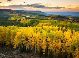
Photograph Fall Colors on Grand Mesa
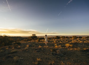
Despite being one of the largest flat-top mountains in the world, Grand Mesa sees far fewer visitors than other areas of Colorado. Locals only an hour away in Grand Junction frequent the area for its plentiful fishing, camping, and off-roading opportunities, but few take advantage of its photogra...Read more -
Mesa County, Colorado
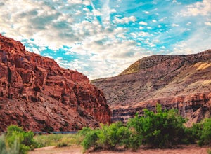
Backpack along the Gunnison River in the Dominguez-Escalante NCA
5.03.4 miIf you're looking to take your first backpacking adventure, but want something that is manageable yet thrilling, this is what you're looking for. Located along the Gunnison River in Western Colorado, the Dominguez-Escalante National Conservation area is easy to access yet full of adventure and be...Read more -
Grand Junction, Colorado
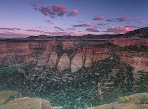
Photograph Colorado National Monument
4.2Driving through Colorado National Monument was very easy and gorgeous. Very scenic drive with many lookouts to stop at. Every lookout has a spot to park and you can just jump out and photograph the book cliffs and canyons. I stopped at almost all of the lookouts and they are all breathtaking. I d...Read more -
Grand Junction, Colorado
Running Ute Canyon in Colorado National Monument
8.6 miUte Canyon Trail is a mostly undeveloped 4.3 mile trail (8.6 round trip) in Colorado National Monument that offers technical descents, route finding, water crossings, and gorgeous red rock walls. The trailhead is just a few miles off I-70 from the town of Fruita—it's well worth the trip. Remember...Read more -
Fruita, Colorado
Float Ruby-Horsethief Canyons
To do the entire 26-mile float, put in at the Loma River access, several miles west of Fruita and just a short drive from I-70. From the Loma access there is no other easy access point until 26 miles later, at Westwater in Utah.Once on the water you will be able to relax and enjoy the beautiful s...Read more -
Fruita, Colorado
Backpack in the Black Ridge Canyons Wilderness
4.2 mi / 1000 ft gainIf you're looking to backpack outside of the highly publicized areas of Colorado (aka the Rockies), head out to Western CO for some amazing experiences. Located 4 hours west of Denver along I-70 is the McInnis Canyon National Conservation Area (NCA). Overseen by the Bureau of Land Management (BLM...Read more -
Fruita, Colorado
Hike the Rattlesnake Arches Trail in Black Ridge Wilderness
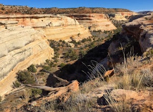
4.03.2 mi / 300 ft gainPut simply, Rattlesnake Arches is home to some of the most beautiful views you'll ever experience in the United States. This portion of the Rattlesnake Arches Trail follows along the upper rim of the canyon and allows you to experience 9 total arches within about 2 miles of hiking. The hike along...Read more -
Rifle, Colorado
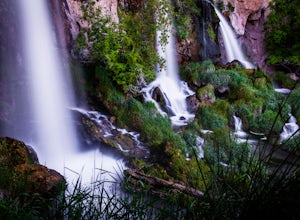
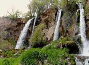
Explore Rifle Falls
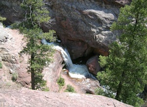
4.6RIfle Falls is located up Rifle Canyon just outside of the town of Rifle on I-70 in Southern Colorado. After driving by the sign for this gem many times on my drives from Utah to Colorado I made a short detour to check out the falls and have some lunch.The state park is small with a some short tr...Read more -
Rifle, Colorado
Hike through Rifle Falls State Park
5.01.5 mi / 70 ft gainRifle Falls State Park is situated just 14 miles north east of major Colorado highway I-70. The park offers a wide variety of activities including hiking, fishing, biking, photography, camping, and spelunking (for the especially adventurous).There are several trails at Rifle Falls, the most popul...Read more -
Montrose County, Colorado
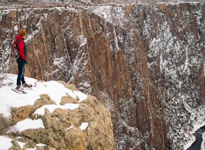
Snowshoe in Black Canyon of the Gunnison National Park
2 mi / 377 ft gainWinter is a great time to visit Black Canyon of the Gunnison National Park. Covered in snow, the canyon seems even more dramatic and sheer. The park road is plowed up until the visitor center, and there is no entrance fee in the winter. The rest of the park road is groomed for cross country skiin...Read more -
Crawford, Colorado
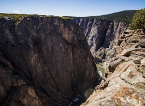
Hike the Chasm View Nature Trail
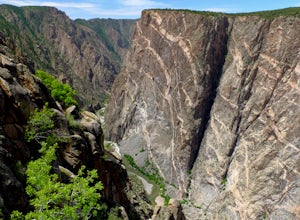
5.01 miThis easy trail is located along the north rim of the canyon and can be completed as either a short loop hike or a shorter out and back to the first overlook. You’ll find the trailhead at the North Rim Campground. The views of the canyon along this trail are fantastic, some of the best in the par...Read more -
Mack, Colorado
Hike the Trail Through Time Paleontological Trail
1.5 miThe trail is adjacent to an active dinosaur quarry, and while there were no scientists at work while we were there, apparently you can see paleontologists at work in the spring and summer.Take the interpretive trail up towards the small mesa and check out the signs pointing out fossils along the ...Read more -
Carbondale, Colorado
Explore Hayes Creek Falls
3.50 miRight off of Highway 133 about 2 miles south of Redstone, lies a very easy-to-get-to Waterfall. Park your car off to the side of the highway, walk about 100 feet and you will find this glorious waterfall. The fall is best to see in the late Spring to early Summer. From late Spring, to early Summe...Read more -
Montrose, Colorado
Hike the Gunnison Route
5.02 mi / 1800 ft gainImmediately upon arriving, secure a permit to scramble down 1,800ft in one mile to the Gunnison River. There are no hiking trails below the rim of the canyon, and because of its relentless steepness and rock exposure, the only existing routes are incredibly steep and loose. To protect the delicat...Read more -
Mack, Colorado
Mountain Bike in the Rabbit Valley Area
13 mi / 1200 ft gainThis area is one of my favorites. Rabbit Valley is a great place with all kinds of activities available. Mainly we mountain bike here, but we have hiked and explored the canyons as well. There are traces of Native Americans that lived in the area hundreds of years ago, even a small arch too.From ...Read more

