Marble, Colorado
Top Spots in and near Marble
-
Montrose, Colorado
Hike the Gunnison Route
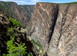
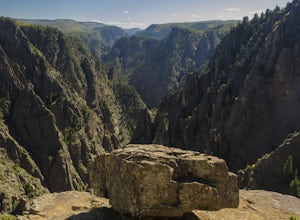
5.02 mi / 1800 ft gainImmediately upon arriving, secure a permit to scramble down 1,800ft in one mile to the Gunnison River. There are no hiking trails below the rim of the canyon, and because of its relentless steepness and rock exposure, the only existing routes are incredibly steep and loose. To protect the delicat...Read more -
Montrose, Colorado
Drive the Scenic loop at Black Canyon of Gunnison National Park
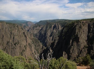
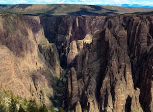
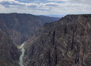
4.5The Black Canyon of Gunnison is know for 2000 foot cliffs and a beautiful raging river below. The south side of the canyon is the most popular and the easiest to get to. The visitor center is also on the south side making it convenient for information and getting souvenirs. The scenic drive also ...Read more -
Montrose, Colorado
Hike the Oak Flat Loop
5.02 mi / 377 ft gainBlack Canyon of the Gunnison is one of Colorado's four national parks. Though not as well known as Rocky Mountain or Mesa Verde, Black Canyon has no lack of views, hiking opportunities, and other must-experience natural features. The Canyon's expanse is far too large to explore in a day, but the...Read more -
Gunnison County, Colorado
Take in the Views on Cottonwood Pass
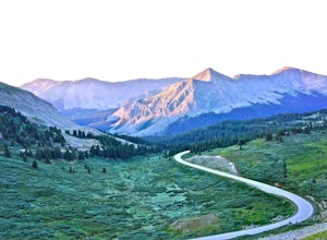
4.7Starting in the town of Buena Vista, head west on E Main Street until it turns into State Highway 306. After about 40 minutes of driving and some winding roads the Continental Divide sign welcomes you to a gravel parking lot. You can get out and hike as you please, but the view from the parking l...Read more -
Montrose, Colorado
Hike to Tomichi Point and Gunnison Point Overlooks
5.02 miTo access the South Rim of the Black Canyon of the Gunnison National Park, take US 50 and CO 347 to the south entrance, 15 miles east of Montrose. There is no bridge between the north and south rims of the canyon - make sure you enter from the Montrose side.After passing through the entrance stat...Read more -
Cedaredge, Colorado
Grand Mesa County Line Loop
5.05.82 mi / 302 ft gainThe County Line Trailhead is a great way to enjoy the winter wonderland of the Grand Mesa. Both classic or skate skiing is allowed (along with snowshoeing). This is a perfect family trail since all trails are easy to moderate with a few short climbs and a maximum elevation change of 50 feet. Ther...Read more -
Montrose, Colorado
Camp at Black Canyon of the Gunnison's South Rim Campground
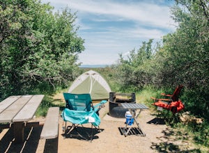
5.0The South Rim Campground is located about 6 miles inside Black Canyon of the Gunnison National Park. There are a total of 88 sites, 34 of which are available year-round. Reservations are definitely recommended, but are not required - loop C is first-come, first-served. Loop B fills up first, as i...Read more -
Minturn, Colorado
Backpack the High Alpine Seven Sisters Lake Chain
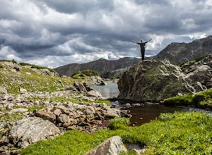
12 mi / 1000 ft gainThis lake chain is in a spectacular, undeveloped bowl of jagged and rugged mountain goodness located in the Holy Cross Wilderness Area. This hidden gem is easily accessible and, to my amazement, it is relatively unheard of even among many locals. More wonderful perks included in this backpacking ...Read more -
Montrose County, Colorado
Snowshoe in Black Canyon of the Gunnison National Park
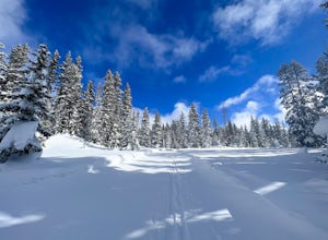
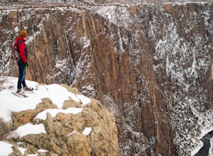
2 mi / 377 ft gainWinter is a great time to visit Black Canyon of the Gunnison National Park. Covered in snow, the canyon seems even more dramatic and sheer. The park road is plowed up until the visitor center, and there is no entrance fee in the winter. The rest of the park road is groomed for cross country skiin...Read more -
Turquoise Lake, Colorado
Escape to Turquoise Lake
5.0Turquoise Lake is an 'off the beaten path' gem only 3 hours from the Denver Metro Area. The area surrounding the lake is home to some spacious and tree-shaded campgrounds. If you plan ahead and book early, you'll have your pick of the best spots within close proximity to the lake. The campground ...Read more -
Gunnison County, Colorado
Hike to Lost Lake
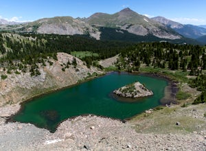
4.22.4 mi / 600 ft gainThis Trail starts at about 11,200 feet right before the top of cottonwood pass. The trailhead starts at the LAST pull-off before you reach the top of the pass, so if you reach the top, you've gone too far. The hike isn't a super difficult one, but you will go through numerous streams and flooded ...Read more -
Montrose, Colorado
Drive the East Portal Road
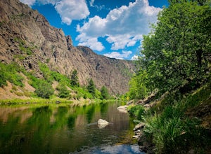
Want an easier way to get to the bottom of the canyon without the rugged hiking trails? Drive to the bottom via the East Portal Road. Open once the harsh winter breaks, this road switchbacks its way to the bottom at the meeting place of Curecanti National Recreation area and Black Canyon of the G...Read more -
Crawford, Colorado
Warner Point Nature Trail
5.01.52 mi / 279 ft gainWarner Point Nature Trail is an out-and-back trail that takes you by a river located near Montrose, Colorado.Read more -
Leadville, Colorado
Fly Fish Crystal Lake
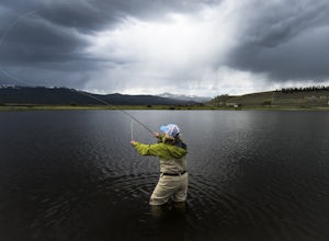
Crystal Lake is a beautiful lake (or could it be called a pond?), set in the shadow of the Rocky Mountain’s highest peaks, Mt. Elbert and Mt. Massive, can be found about six miles south of Leadville, CO on the west side of US 24. This lake holds a healthy trout population and is stocked regularly...Read more -
Mesa, Colorado
Photograph Fall Colors on Grand Mesa
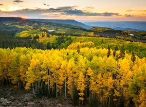
Despite being one of the largest flat-top mountains in the world, Grand Mesa sees far fewer visitors than other areas of Colorado. Locals only an hour away in Grand Junction frequent the area for its plentiful fishing, camping, and off-roading opportunities, but few take advantage of its photogra...Read more -
Leadville, Colorado
Ski Hut-to-Hut from Uncle Bud's to Skinner Hut
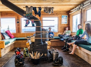
5.024.5 mi / 4700 ft gainThe trek starts just outside of Leadville near Turquoise Lake at 9800 ft. The first day you'll travel 6.5 miles and gain 1700 ft. to Uncle Bud's Hut, which sits around 11,400 ft. The second day you'll ski 7.1 miles to Skinner Hut and gain 2100 ft, mostly in the last 3 miles after having dropped...Read more

