Marble, Colorado
Top Spots in and near Marble
-
Aspen, Colorado
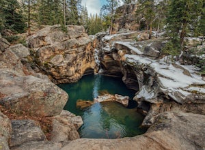
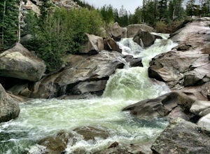
Devil's Punch Bowl
4.7The Roaring Fork River has several little waterfalls that end up in a deep swimming hole called The Devil's Punch Bowl. This is a must-see if you are driving up to the Independence Pass. I have never seen such blue water before (outside of an amusement park). While Driving from Aspen on CO82 to...Read more -
Aspen, Colorado
Grottos Trail
5.00.53 mi / 72 ft gainJust nine miles east of Aspen on Highway 82, Independence Pass, are grottos. A grotto is a geological term for a cave or cavern. The Grottos near Aspen were formed by rushing water of the Roaring Fork River. There is only an elevation gain of 300 feet on the three-quarters of a mile loop making...Read more -
Aspen, Colorado
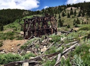
Independence Ghost Town
4.3Back in the late 1800s, Ashcroft, Aspen, and Independence were booming mining town. While Aspen is still thriving today, Ashcroft and Independence are ghost towns. Independence Ghost Town is on Independence Pass, 16 miles east of Aspen on Highway 82. The Farwell Mill sits right along the highwa...Read more -
Aspen, Colorado
Hike Lost Man Loop
5.08.8 mi / 1290 ft gainThis 8.8 mile "loop" is not a true loop and the trail ends 4 miles apart along Independence Pass, so a car shuttle is recommended. I would recommend starting at the west trailhead (closer to Aspen) but will describe both trailheads so you can set up another car or shuttle at the other one.1) West...Read more -
Meredith, Colorado
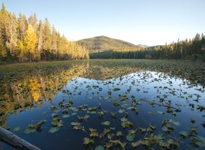
Hike to Chapman Lake
1.6 miFrom downtown Basalt, drive up the Fryingpan River Road 28 miles and turn right on CR #504, also known as Elliot Way, just before Norrie Colony. Drive across the river and up the switchbacks for approximately 3 miles. Take the left fork, continue 1 mile and take the right fork approximately 1/2 m...Read more -
Pitkin County, Colorado
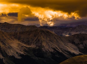
Sunset Hike to Twining Peak
4 mi / 1700 ft gainTwining Peak is a ranked 13er located 2 miles north of Independence Pass. The hike involves around 1700 feet of elevation and is mostly off-trail with some class 2 scrambling (class 3 can be had if you look hard enough). Independence Pass is a prominent and popular pass on Highway 82 between Twin...Read more -
Independence, Ohio
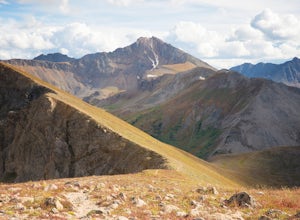
Hike Mountain Boy Ridge from the Top of Independence Pass
5.06 miThe trailhead is to the Independence Pass viewing deck is located at the Summit parking area, which is about 20 miles from Aspen and 24 miles west of Highway 24 on the Leadville side. At the parking area you will notice a paved walkway that takes you to the viewdeck, which is a easy five minute w...Read more -
Independence, Ohio
Hike Lost Man Pass via Independence Lake
5.04.5 mi / 1200 ft gainPark at the pull out just west of independence pass. From there, begin on the Linkin's Lake Trail. The trail is generally easy to follow (although it can be muddy as it is a wet area) and climbs 900 feet in the 1.8 miles to independence lake. From Independence lake it is about 0.5 miles and 400 f...Read more -
Independence, Ohio
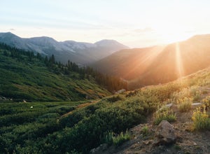
Watch the Sunset from Independence Pass
1.0Start in the town of either Aspen or Twin Lakes and continue on Interstate 82 to the top of Independence Pass. Along the way, keep your eyes peeled for the Ghost Town of Independence, fields of wildflowers and the occasional moose, elk or deer. Continue on to the top of the pass where you will fi...Read more -
Independence, Ohio
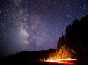
Photograph the Milky Way on Independence Pass
From Aspen CO, drive up highway 82 towards Twin Lakes and stop at the top of the pass.Once you reach the continental divide there will be a sign that says Independence Pass with an elevation of 12,095 feet. Here you can park the car for free and use the bathroom area.To photograph the milky way y...Read more -
Independence, Ohio
Photograph Fall Colors Along Independence Pass and Twin Lakes, CO
5.0While this is a more of a photography adventure and a fall drive to take through Colorado, there are also many areas to hike along the way. The drive can start from really anywhere in the general area. From the front range area of Colorado, head up I70 and get off toward Twin Lakes around Copper....Read more -
Independence, Ohio
Drive Independence Pass
5.032 miWhether you are driving or biking, the elevation gain is significant, it's over 4,000 ft. The road is fairly narrow so being cautious is important. The highway itself is seasonal; it's closed for winter due to icy conditions. We stopped along the Grotto trailhead to hike around and get some views...Read more -
Glenwood Springs, Colorado
Relax at Glenwood Hot Springs
4.5Glenwood is best known for its large hot springs pool, kept between 90 and 93 degrees, while the minerals in the water are meant to provide a natural therapy to the body. There is also a smaller therapy pool, at 104 degrees, and a spa, as well. You'll find all the amenities you need here, and wi...Read more -
Glenwood Springs, Colorado
Hike the Grizzly Creek Trail
5.07.9 mi / 1900 ft gainTake exit 121 off Interstate 70 (a rest stop exit), and follow signs to a secondary parking lot near Grizzly Creek. This is a great addition to the nearby Hanging Lake & Spouting Rock hikes just 4 miles East on I-70. Because these two are so popular, Grizzly Creek is a great, not very well kn...Read more -
Glenwood Springs, Colorado
Hanging Lake
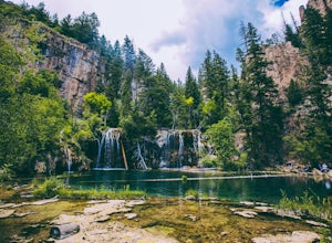
4.73.06 mi / 1168 ft gainHanging Lake is a beautifully unique natural wonder. Surrounded by dramatic, pine tree lined cliffs, a unique community of hanging plants thrive beside waterfalls cascading in to this glimmering turquoise pool of water. If this isn’t enough to entice you- the trail leading up to the lake is rathe...Read more -
Glenwood Springs, Colorado
Spouting Rock via Hanging Lakes Trail
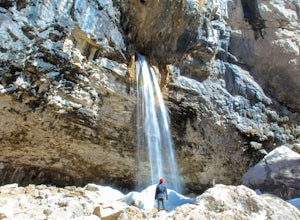
4.42.85 mi / 1529 ft gainTo get to Spouting Rock you need to take the same trailhead as Hanging Lake. I made the hike in the offseason when there was still ice on the trail and using crampons were imperative. The hike to Hanging Lake is rather steep and while it's only about 1.2 miles long it takes about an hour. Once yo...Read more

