Loveland, Colorado
Top Spots in and near Loveland
-
Estes Park, Colorado
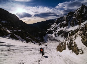
Dragon's Tail Couloir Climb
5.0Start your day at the Bear Lake parking lot, and head out on the short 2-mile approach that winds uphill past Nymph and Dream Lake. After arriving at Emerald Lake, skirt around the shore on the left side to reach the bottom of the couloir, clearly visibile on the far side of the lake.The 1500 ft ...Read more -
Larimer County, Colorado
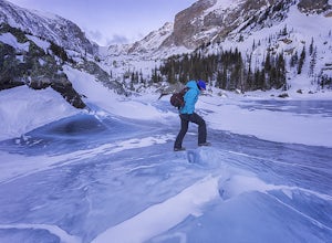
Lake Haiyaha
5.03.64 mi / 800 ft gainBegin the hike at the Bear Lake trailhead, this will be the same for any season you chose to hike to the lake. From the Bear Lake trailhead follow the Dream Lake trail for ~1.05 miles to just before Dream Lake itself. The trail is very easy to follow up to this point in all seasons. In winter the...Read more -
Boulder, Colorado
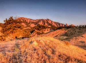
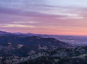
Catch a Boulder Sunrise from NCAR
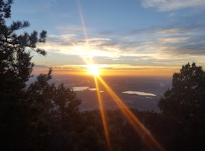
A great place to watch the sunrise in Boulder is at NCAR, the National Center for Atmospheric Research. Park in the parking lot at the top of the hill, and if you're feeling up to it, you can walk south for about 10 minutes to an adjacent hill with beautiful views. Either way, you will want to ge...Read more -
Boulder, Colorado
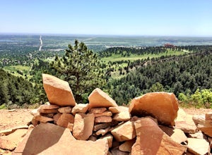
Woods Quarry via NCAR
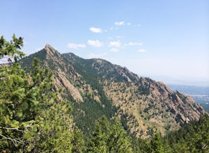
4.23.28 mi / 755 ft gainYou can start from Chautauqua Park, but I prefer to start at NCAR, especially since there is ample parking and you can take a bathroom break inside before hitting the trail. From the intersection of Table Mesa Drive and Broadway in Boulder, drive west on Table Mesa to its end at the NCAR buildin...Read more -
Boulder, Colorado
Watch Sunset from the Lost Gulch Overlook
From Boulder, drive west on Baseline road. Continue up for about 5.5 miles past the Flagstaff Summit (Realization Point) pull off. After some more steep and very tight switchbacks there will be a dirt parking lot on the north side of the road. From here you can head northwest towards the cliff...Read more -
Boulder, Colorado
Mars Blocks via Bear Canyon Trailhead
4.89 mi / 1923 ft gainThe Bear Canyon Trailhead is just one of many starting points for this hike, one could also start at NCAR, North Fork Shanahan, or any point on the Mesa Trail. For the purposes of this adventure, I'll start at Bear Canyon Trailhead in South Boulder. This hike will take you about 2-4 hours dependi...Read more -
Boulder, Colorado
Boulder's Skyline Traverse
5.014.77 mi / 4583 ft gainHave you ever reached the bottom of a hike with some friends and thought, 'That was nice, but I'd still like to hike more... a lot more.'? Then the Skyline Traverse is for you. Instead of hiking just Green Mountain or Bear Peak, the Skyline Traverse links South Boulder Peak, Bear Peak, Green Mou...Read more -
Boulder, Colorado
Shanahan Ridge Trail
4.03.84 mi / 715 ft gainStarting on the edge of a neighborhood in South Boulder, this 3.8 mile loop begins its 869 foot elevation gain by meandering through a pine forest. You can 'choose your own adventure' by exploring the handful of trails that meet up with the Shanahan Ridge Trail, such as the South Mesa Trail, Shad...Read more -
Boulder, Colorado
South Boulder Creek - Mesa Trail - Lower Big Bluestem Loop
4.04.46 mi / 453 ft gainThis 4 mile loop ascends only a slight amount in elevation, making for a pleasant loop in which opportunities for appreciation of the nature around you and broad vista photography are in plentiful supply. A great hike for those who may still be building their fitness, as so many trails in Boulder...Read more -
Boulder, Colorado
Green Mountain via West Ridge Trail
3.23 mi / 607 ft gainStarting at 7,600 ft this 1.35 mile (one-way) hike is the shortest, and by far the least strenuous, hike to summit one of Boulder's iconic peaks. Parking for this trail-head is available along the road a short drive, 4.5 miles, up Flagstaff Rd. The trail gently slopes along a ridge for the firs...Read more -
Boulder, Colorado
Catch the Sunrise on Sugarloaf
4.51 mi / 400 ft gainTo get there from downtown Boulder, head west on CO 119 and almost 4.5 miles after you have left Boulder, turn right onto Sugarloaf Road. 4 miles after the turn from CO 119, turn right onto Sugarloaf Mountain road (located at the top of the road). If the road starts descending, you've gone too fa...Read more -
Bellvue, Colorado
Poudre Canyon Run
5.026.2 mi / 1800 ft gainStretching 126 miles from its source in the Rocky Mountain National Park, the Cache La Poudre (pronounced: Poo-ter) river provides host to an entire treasure trove of outdoor recreational activities. From Fly Fishing and rafting to camping and photography. Carved away by thousands of years of flo...Read more -
Nederland, Colorado
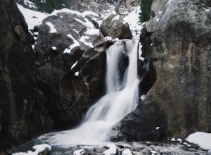
Explore Boulder Falls, CO
4.20.1 miWhile the narrow trail is often popular, it's only 100 yards to see this 70-ft tall waterfall, set against a beautiful canyon backdrop. Keep in mind there's no climbing allowed on or around the falls. It is also a good idea to check if the trail is closed for maintenance, ahead of time.Read more -
Lyons, Colorado
Backpack to Red Deer Lake, CO
4.06.4 mi / 1900 ft gainThis is an excellent place to take your family backpacking. It is a fairly easy trail and definitely a great one for kids. Take in the beautiful scenery while hiking through meadows, aspen and pine with incredible mountain views in the Indian Peaks Wilderness. 6.4 miles to Red Deer Lake with an e...Read more -
Nederland, Colorado
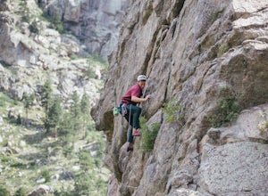
Climb in Boulder Canyon
5.0Heading west from Boulder, take CO 119/Boulder Canyon Drive into Boulder Canyon. Once you're in the canyon, there are many areas that all have great climbing. For the more traditional climber, there are areas such as Castle Rock (39.9787, -105.4551) and the Happy Hour Crag (40.0033, -105.3939). P...Read more -
Ward, Colorado
Snowshoe Long Lake
8 mi / 200 ft gainA long but extremely scenic hike tucked in Colorado's Indian Peaks wilderness. The entire Long Lake trail says 2.3 mile but due to winter conditions and snow pack you can really only make it the east edge of the lake. Exit Long lake loop back on to Brainard Lake Road (currently under construction...Read more

