Louisville, Colorado
Top Spots in and near Louisville
-
Allenspark, Colorado
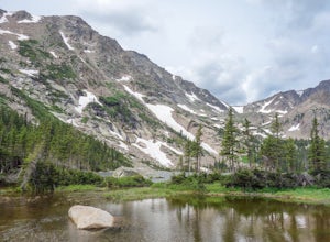
Hike to Thunder Lake
12 mi / 2275 ft gainStarting at the often-busy Wild Basin TH, the trail passes through dense forests as it follows the North Fork of the Saint Vrain River through the southernmost section of Rocky Mountain National Park. The trail passes alongside the small Copeland Falls before continuing west towards Calypso Casca...Read more -
Littleton, Colorado
Hike the Coyote Song-Swallow Trail Loop
3.83 mi / 350 ft gainWe all love to live our weekends to the fullest, but say you're itching for an adventure and it's midweek with the weekend still a good 3 or 4 days away? South Valley Park is the place to go if you're looking for an after-work adventure or just don't feel like driving too far from the city. A sho...Read more -
Idaho Springs, Colorado
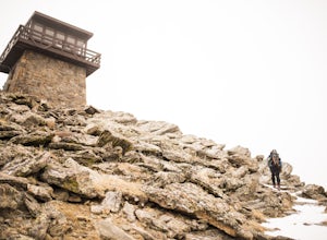
Squaw Mountain Fire Lookout
4.03.92 mi / 791 ft gainCome check out the Squaw Mountain Fire Lookout, a historic spot located in the Mount Evans Wilderness Area of Colorado, and one of the highest lookout towers in the country, at an elevation of 11,486 ft. Just a short drive from the Front Range corridor, you can hike/backpack in to this lookout ar...Read more -
Idaho Springs, Colorado
Hike St. Mary's Glacier
4.32 mi / 467 ft gainJust West of Idaho Springs on I-70 take the St. Mary's Alice Exit. Take a right and stay on the main road and follow the signs for about 8 miles (watch on the right side of the road for a surprise pink pig). There are two parking lots for the trailhead. The larger one is South of the trail and a ...Read more -
Idaho Springs, Colorado
Hike Chief Mountain, CO
4.54 mi / 1100 ft gainSitting at 11,709’, Chief Mountain is not one of Colorado’s highest peaks, but the views from this mountain are spectacular nonetheless and rival the views of any 14er I’ve climbed. This mountain sits along Squaw Pass Road so you get the luxury of a high trailhead for this peak.To get there, foll...Read more -
Idaho Springs, Colorado
Hiking James Peak (13,294')
8.3 mi / 3000 ft gainJames Peak is one of 76 13,000'+ peaks in Colorado's front range. On your way up to the peak you will pass St. Mary's Glacier. It is not an actual glacier yet a permeant snow field that is popular among skiers and snowboarders year round. St. Mary's Glaicer is a very popular destination (though m...Read more -
Littleton, Colorado
Hike or Bike Hildebrand Ranch
4.05.1 mi / 324 ft gainHildebrand Ranch Park is often overshadowed by the other nearby Jeffco Parks, but for the few that it does attract the trails do not disappoint. The Two Brands Trail starts at about 5600ft just off of Deer Creek Canyon Rd. It is a relatively flat trail that tops out at about 5821ft making it a...Read more -
Nederland, Colorado
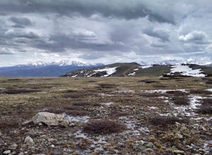
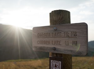
Hike Rollins Pass to Devils Thumb
2.1 mi / 622 ft gainCorona Lake is an easy, short hike if you're pressed for time. It's scenic, secluded, and will put you in a great spot to hike to Devils Thumb the next day. There are two ways to reach Devils Thumb. This is considered the "easier" route because of the "lack of elevation gain." The sun and wind re...Read more -
Evergreen, Colorado
Maxwell Falls
3.43.95 mi / 928 ft gainLocated just outside of Evergreen, this beginner hike is a great escape from the city for a few hours. There are three different options to hike to the falls: Maxwell Falls Lower Trail (4 miles), Upper Maxwell Falls Trail (1.1 miles), and Maxwell Falls Bluffs Cliffside Trail Loop (5 miles). On th...Read more -
Loveland, Colorado
Hike the Devil's Backbone in Colorado
4.32.5 miThe Devils Backbone Open Space offers great hiking in the Front Range foothills. The main feature is the rock formation running along the western boundary of the park, but the open space also supports a large wildlife and plant population. Here, you'll find great opportunities for year-round hiki...Read more -
Idaho Springs, Colorado
Explore 'The Hidden Gems' of Loch Lomond
5.04.6 mi / 950 ft gainGetting There From Denver, go W on I-70 and take exit 238 for Fall River Rd. Continue on this road before taking a left on Alice Rd. Continue on Alice Rd. until you see the right hand turn for Steuart Rd. This is where you park. Do not attempt this road in a AWD or 2WD you definitely need a good ...Read more -
Idaho Springs, Colorado
Hike to Loch Lomond
5.04.6 mi / 948 ft gainWhen you start the hike to Loch Lomond, you'll have a few options for parking. The further up the road you go the trickier it's going to be to get back out. I parked at the bottom of the road and hiked my way up. The first mile or two is mostly elevation gain and to be quite honest I thought I wa...Read more -
Littleton, Colorado
Golden Eagle Trail to Bill Couch Mountain
5.06.76 mi / 1509 ft gainGolden Eagle Trail to Bill Couch Mountain is an out-and-back trail that provides a good opportunity to view wildlife located near Indian Hills, Colorado.Read more -
Littleton, Colorado
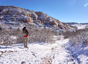
Snowshoe Deer Creek Canyon Park
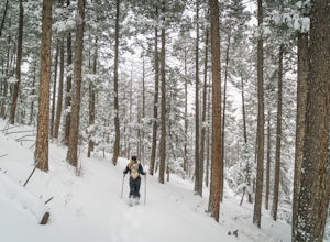
5.1 mi / 1250 ft gainDeer Creek Canyon Park offers up to 13 miles of wind-sheltered trails perfect for enjoying after a fresh snow. The Plymouth Mountain Trail offers steep climbs and big views while Homesteader Trail offers the best forest scenery in the Denver area. The recommended route is Plymouth Creek Trail to ...Read more -
Littleton, Colorado
Hike the Meadowlark Plymouth Trail
4.06 mi / 1197 ft gainFrom the parking lot, you can take the Meadowlark trail to the west or the Plymouth Creek Trail to the southeast. It does not matter which trail you take because it ends up becoming loop. For a more gradual slope up the hill, take the Meadowlark trail. After a little more than a mile, it intersec...Read more -
Aurora, Colorado
Walk the Cherry Creek Dog Off-Leash Area
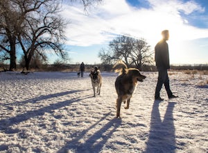
4.53 miCherry Creek Dog-Off Leash Area is an extended part of Cherry Creek State Park and encompasses 107 acres of fenced-in play area. Within the park there is a 3 mile loop trail that takes you through the trees and along the Cherry Creek. What makes this park so great is the several access points to ...Read more

