Louisville, Colorado
Top Spots in and near Louisville
-
Loveland, Colorado
Hike the D.R. Trail in the Bobcat Ridge Natural Area
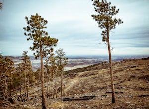
3.76.2 mi / 1050 ft gainD.R. Trail, named for David Rice Pulliam who donated the land to create the Bobcat Ridge Natural Area, is a 3.1 mile spur off the Valley Loop Trail that climbs roughly 1,000' into Mahoney Park before it intersects with the Powerline and Ginny Trails. To get to the start of the trail, take the Val...Read more -
Loveland, Colorado
Hike the Powerline Trail in the Bobcat Ridge Natural Area
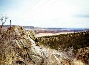
3.8 mi / 1100 ft gainPowerline Trail is a 1.9 mile spur off the Valley Loop Trail in the Bobcat Ridge Natural Area that climbs 1,100 feet from the valley floor to Mahoney Park.To get to the start of the trail, take the Valley Loop Trail .9 miles in the Bobcat Ridge Natural Area from the main entrance of the Natural A...Read more -
Larimer County, Colorado
Bierstadt Lake Loop
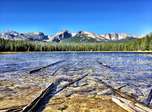
4.32.93 mi / 675 ft gainFrom the Bierstadt Lake Trailhead on Bear Lake Road in Rocky Mountain National Park, you start out in lodgepole pines at 8850 feet high. But you quickly get into the aspens. In the breeze, aspens flutter or quake. It's unique sound as the leaves almost dance in the wind. The views and aspens ...Read more -
Estes Park, Colorado
Climb at Lumpy Ridge
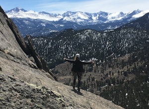
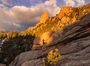
Lumpy Ridge is mostly a traditional climbing area with most climbs being two or more pitches after a mile to 3+ miles of mostly flat walking. From climbers left to right the larger areas consist of Sundance Buttress, The Bookend, The Bookmark, The Book, and Twin Owls. There are smaller formatio...Read more -
Estes Park, Colorado
Lumpy Ridge to Gem Lake
4.33.12 mi / 950 ft gainBegin by parking at the Lumpy Ridge trailhead, which is a couple miles outside of Estes Park on McGregor Avenue. At the trailhead, there are numerous signs indicating hiking trails, climbing routes, and other information about the area. After parking start hiking on the trail to the right of the ...Read more -
Estes Park, Colorado
Photograph Elk in Moraine Park
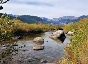
The perspective here is vastly different from other areas in Rocky Mountain National Park as Moraine Park is essentially a large, very flat valley surrounded by tall mountains. You'll want to come during the elks' rutting season, which is between mid-September and mid-October. Park at the lot on ...Read more -
Larimer County, Colorado
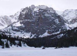
Winter Hike to Loch Vale
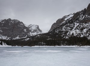
4.05.4 mi / 1056 ft gainThis winter adventure begins at the popular Glacier Gorge Trailhead in Rocky Mountain National Park. Make sure you arrive early as the parking lot fills up quickly! We started the hike with our microspikes on and carried our snowshoes. The park ranger informed us snowshoes may be necessary in som...Read more -
Larimer County, Colorado
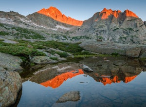
Hike the Spearhead
5.012.44 mi / 3300 ft gainBeginning from the Glacier Gorge trailhead, follow trail signs towards Mills Lake. At Mills, continue onward past Black Lake, and then continue hiking up into the incredible basin above Black Lake. Spearhead will be unmissable. Once in the basin, head to the north side of Spearhead. By hugging t...Read more -
Larimer County, Colorado
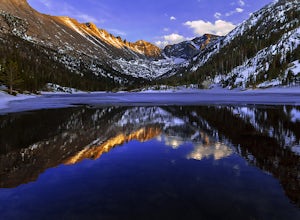
Hike to Jewel Lake
4.06.12 mi / 727 ft gainThis trail starts at the Glacier Gorge Trailhead. This trailhead fills quickly at any time of year, so it's best to get there early to guarantee a parking spot. You can also park at Bear Lake where there's more spaces and add just under 2 miles to your round trip length. A mile into the hike, y...Read more -
Estes Park, Colorado
Black Lake Trail
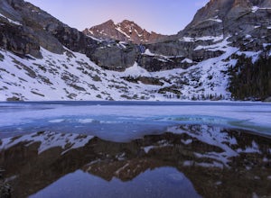
5.09.17 mi / 1400 ft gainThe Black lake hike begins at the very popular Glacier Gorge trailhead along Bear Lake road in Rocky Mountain National Park. During the summer and weekends, the park shuttle may be the best parking option as the lot is often full by 7am and can be difficult to find a spot throughout the day. Fr...Read more -
Larimer County, Colorado
Sky Pond via Glacier Gorge Trailhead
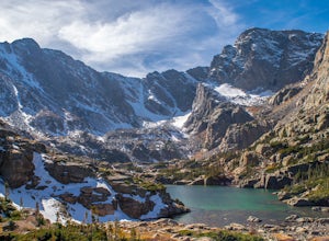
4.78.43 mi / 1780 ft gainStart at the Glacier Gorge trailhead on Bear Lake Road. Parking is limited so it is advised to get there very early. It's a longer hike so plan on taking a full day to complete or stay overnight to enjoy more of the scenery. Within the first mile on the Glacier Gorge Trail you will pass by Alber...Read more -
Larimer County, Colorado
The Loch Vale Hike
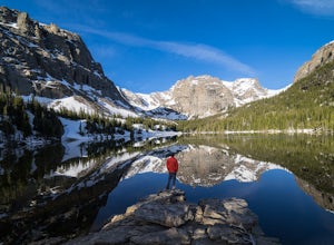
5.05.53 mi / 1056 ft gainThe trail starts at the Glacier Gorge trailhead along the road to Bear Lake. After hiking for just under a mile, you'll pass Alberta Falls and continue up the trail through the gorge. At about 2 miles you'll reach a clear junction, with trails towards Mills Lake, Lake Haiyaha, and The Loch. Take ...Read more -
Larimer County, Colorado
Mills Lake via Glacier Gorge Trailhead
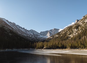
4.85.24 mi / 940 ft gainStart hiking at the Glacier Gorge Trailhead down the bear lake road in rocky mountain national park. The trailhead is very popular so it can be difficult to find a parking place at times. From Glacier Gorge, follow the obvious trail and signs towards mills lake. In the summer the trail will go p...Read more -
Larimer County, Colorado
The Loch Lake Trail via Glacier Gorge Trail
5.53 mi / 1072 ft gainThe Loch Lake Trail via Glacier Gorge Trail is an out-and-back trail that takes you by a lake located near Estes Park, Colorado.Read more -
Estes Park, Colorado
Green Lake via Glacier Gorge Trail
5.011.38 mi / 3400 ft gainBegin at the popular Glacier Gorge trailhead along Bear Lake Road in Rocky Mountain National Park. Arrive VERY early for parking as the lot typically fills by 7:30 am. For the best photography options - choose to either backpack into the Glacier Gorge campsite (reservations must be made early in ...Read more -
Estes Park, Colorado
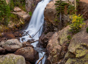
Alberta Falls Trail
4.01.66 mi / 200 ft gainHeading into the park from Beaver Meadows Entrance Station turn left at the first road in .2 miles. Follow Bear Lake Road for 8 miles until reaching the Glacier Gorge parking area on the left. Take the trail from the parking area and follow it to the intersection with the Sprague Lake Trail. Stay...Read more

