Leadville, Colorado
Looking for the best photography in Leadville? We've got you covered with the top trails, trips, hiking, backpacking, camping and more around Leadville. The detailed guides, photos, and reviews are all submitted by the Outbound community.
Top Photography Spots in and near Leadville
-
Silverthorne, Colorado
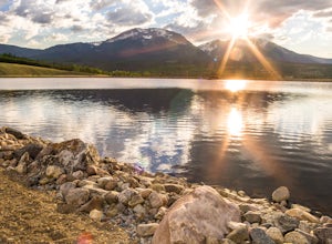
Hike to Old Dillon Reservoir
4.51.7 mi / 137 ft gainToday, Lake Dillon is one of the biggest attractions in the Dillon Valley, attracting boaters, anglers, and campers. However, the large reservoir we know today was not the first one in the area. The Old Dillon Reservoir was built in the 1930s to supply water to the original town of Dillon, which...Read more -
Silverthorne, Colorado
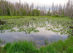
Lily Pad Lake
4.73.27 mi / 531 ft gainLily Pad Lake is a well known destination just outside of Silverthorne and in the Eagle's Nest Wilderness. The trail may be heavily trafficked on the weekends, but solitude can still be found in the early mornings or during the weekdays. The trail starts at the Lily Pad Lake Trailhead, just to t...Read more -
Vail, Colorado
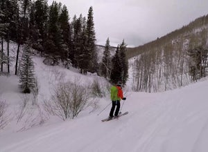
Ski the Minturn Mile
The Minturn Mile is best accessed after spending the day at Vail, but can be done so with skins and skis from the base. This description will assume you have access to the lifts at Vail by parking at one of the many resort/town parking areas. From either the top of Game Creek Express or Wildwoo...Read more -
Vail, Colorado
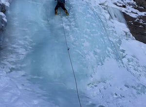
Ice Climb Pumphouse Falls in Vail
To get to Pumphouse Falls take Interstate 70 toward East Vail, Colorado, get off at exit 176 S. Frontage Road headed east. At the traffic circle take the third exit and continue on South Frontage Rd. for 2.5 miles, turn right into the small parking lot next to the Nordic ski track. Follow the sig...Read more -
Vail, Colorado
Sunset Hike on the West Vail Trail
3.02 mi / 300 ft gainStarting in Lionshead, Vail, CO take the Gondola 19 up to the top of the mountain and head west straight out past Chair 26 and towards the Vail Mountain Wedding deck. Past the deck there will be a trail that you can follow out onto the edge of the mountain called the W Vail Trail. This trail will...Read more -
Vail, Colorado
Hike to Booth Falls and Booth Lake, CO
5.010 mi / 3000 ft gainThis day hike begins as a steady climb through aspen trees for the first mile. The trail then flattens out a bit, and you reach Booth Falls at mile two. This is a beautiful 60 ft waterfall that allows for easy rock climbing and hiking through the stream upstream of the falls. This is also a popul...Read more -
Vail, Colorado
Hike the Upper Piney River Trail
4.05.6 mi / 350 ft gainBeginning at an elevation of 9,397 feet, this hike provides an easy 2.8 mile (one way) trip through the gorgeous meadows against the distant aspens and alpines. Wildflowers and wildlife are abundant, which make this trip a fantastic education and play experience for kids.Coordinates for the trail...Read more -
Vail, Colorado
Backpack to Bubble Lake
3.013 mi / 3600 ft gainThe Gore's are a rough and remote section of the Eagle's Nest Wilderness. What this trip may lack in overall miles, it more than makes up for in elevation gain, scrambling, boulder hopping, and overall hard miles on the trail. Every trip I have had the pleasure of taking into the Gore Range has...Read more -
Aspen, Colorado
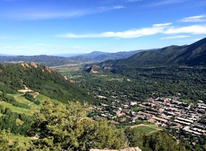
Ute Trail to Ute Rock
4.71.75 mi / 1122 ft gainThis shady trail of switchbacks ascends steadily (over a thousand feet in under a mile) to a rock outcropping at 9,185 feet. Yes, you can expect your heart to be pounding and to be huffing and puffing as you climb Ute Trail. But the view of Aspen that rewards you is spectacular. The trail is pre...Read more -
Hartsel, Colorado
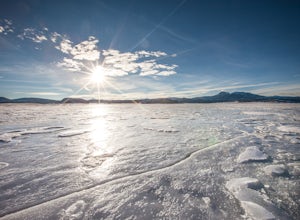
Ice Fishing Antero Reservoir
The Antero Reservoir was the first dam built on the South Platte River. The reservoir is best known for its large rainbow trout and rainbow x cutthroat hybrid trout. It's also home to brown trout, snake river cutthroat trout, cutthroat trout, brook trout, and splake.The earth filled Antero Dam wa...Read more -
Silverthorne, Colorado
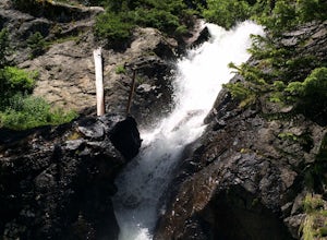
South Willow Falls
4.66.17 miStart at the Willowbrook Trailhead. You’ll hit a “Y” in the trail pretty quickly - go left and you’ll soon be at the first log bridge. There are quite a few water crossings on the trail, but they are easy to maneuver. After hiking in the Willow Creek Open Space for a bit, you’ll enter Eagle’s Ne...Read more -
Gunnison County, Colorado
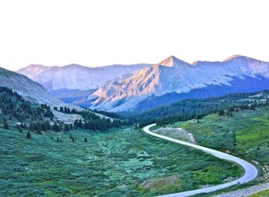
Take in the Views on Cottonwood Pass
4.7Starting in the town of Buena Vista, head west on E Main Street until it turns into State Highway 306. After about 40 minutes of driving and some winding roads the Continental Divide sign welcomes you to a gravel parking lot. You can get out and hike as you please, but the view from the parking l...Read more -
Buena Vista, Colorado
Summit Mt. Yale
5.08.48 mi / 4232 ft gainThis amazing adventure starts at 9,900 feet and goes up 4,300 feet over the course of an 8.5-mile round trip. You will want to start at the Denny Creek Trailhead. If you are coming from Buena Vista or staying at the Collegiate Peaks Campground you will pass Denny Gulch and then Denny Creek. The ...Read more -
Chaffee County, Colorado
Off-Trail Hike of Limestone Ridge
4.09 mi / 1000 ft gainFinding a winter or early spring adventure that won't take you deep into dangerous mountain territory, while still providing epic vistas, is a challenge in Colorado. There are a few 10,000' tall ranges that sometimes escape deep snow, which are inviting for a first step into the alpine wonderland...Read more -
Aspen, Colorado
Explore Aspen's Foliage Along Government Trail
5.010 mi / 2193 ft gainThe Government Trail is beautiful and relaxing during spring and summer, but my favorite time to hike it is during fall because it goes through countless numbers of Aspen groves, which have turned a majestic yellow. After a moderate ascent for the first couple of miles, the trail become flat and ...Read more -
Aspen, Colorado
Hike or Snowshoe Castle Creek
6 miAt the round-a-bout that leads into the town of Aspen, take the Castle Creek Road exit. Follow this road for 12 miles until you get to the ghost town of Ashcroft. The road itself is very scenic, so be prepared to pull over and whip out your camera!During winter, the road ends at Ashcroft and a cr...Read more

