Idaho Springs, Colorado
Looking for the best photography in Idaho Springs? We've got you covered with the top trails, trips, hiking, backpacking, camping and more around Idaho Springs. The detailed guides, photos, and reviews are all submitted by the Outbound community.
Top Photography Spots in and near Idaho Springs
-
Dillon, Colorado
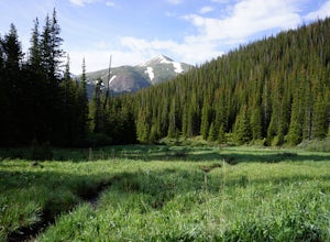
Wildflowers, Lakes, and Peaks, Oh My!
5.0Herman Gulch is one of those special places that makes you fall in love with Colorado all over again. This spectacular wildflower hike that ends at an alpine lake will have your head swiveling from start to finish. Wildflower season is July and August, with peak season being mid-to-late July. Ple...Read more -
Dillon, Colorado
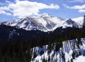
Backcountry Snowshoe and Ski Paradise
5.07 mi / 1700 ft gainA popular wildflower hike in summer, Herman Gulch is arguably even prettier covered in snow. The north-south trail offers views of the impressive Mount Sniktau to the south and Pettingell Peak to the north--with much to see along the way. Officially, the trail weaves in and out of the forest and ...Read more -
Nederland, Colorado
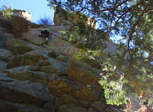
Climb the Avalon Crag in Boulder Canyon
From Boulder, the pullout that is best to park at for the Avalon crag is 8.4 miles up the canyon. You will walk down the side of the road past the talus field, where if the river is too high to wade you can use the tyrolean traverse. Otherwise, you can wade or hop across rocks according to the da...Read more -
Parshall, Colorado
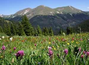
Butler Gulch
4.55.26 mi / 2008 ft gainButler Gulch is a pristinely beautiful day hike in the heart of the Arapaho National Forest near Idaho Springs, Colorado. Easily accessible from Denver, Butler Gulch is full of jaw-dropping views in all seasons, and anyone in good health can enjoy this gem. The hike is five miles long and rated ...Read more -
Conifer, Colorado
Elk Falls Loop
3.512.76 mi / 1893 ft gainBegin on Staunton Ranch Trail for 3.3 miles. Switch to Bugling Elk Trail for the next 1.1 miles, then to Lion's Back Trail for the last mile to the overlook. From here, you can create the loop by backtracking to the Chimney Rock Trail, which then connects with the Elk Falls Trail. To head back to...Read more -
Nederland, Colorado
Upper Diamond Lake via Fourth of July Trailhead
4.88.12 mi / 2037 ft gainThe trail begins at the 4th of July trailhead, which is located near the Eldora ski area and can be crowded during the summer and weekends. The road is rough in places but passable by any car when dry. From the parking area begin hiking the Arapaho pass trail, which will gently gain elevation thr...Read more -
Nederland, Colorado
Hike to Arapaho Pass and Lake Dorothy
4.37.5 mi / 2080 ft gainBegin by parking at the 4th of July trailhead. This can be reached by conituing past the Eldora ski area and up a rough but passable (for all vehicles) gravel road to the trailhead. The trail is easy to find, and will continue to rise for the next 1.15 miles.At just over a mile there is a fork fo...Read more -
Nederland, Colorado
Backpack to Caribou Lake
4.08.2 miThis is one of the most beautiful hikes I have ever done in Colorado. It is a great trip for photographers, fisherman or anyone who enjoys mountain views, forests filled with wildlife and peaceful meadows. Distances: Arapaho Pass: 3.2 miles, Caribou Lake: 4.2 miles, Caribou Pass: 6.4 miles, Meado...Read more -
Nederland, Colorado
Hike the Arapaho Traverse
8.3 mi / 3500 ft gainBegin at the Fourth of July Trailhead. Day parking is free and overnight parking is $5. Fourth of July is a popular trailhead and to ensure parking, you should arrive early in the morning (6am-ish... cause, I mean, you gotta 7 hour day in front of you). Follow the Fourth of July trail from the ...Read more -
Nederland, Colorado
Hike to Diamond Lake in the Indian Peaks Wilderness
5.05.7 mi / 1361 ft gainDiamond Lake is located in the Indian Peaks Wilderness. This is a super popular destination, so make sure you arrive early to get a parking spot (and be sure to follow all parking rules, they do give out tickets at this trailhead and others nearby). The drive to the trailhead is about 4 miles dow...Read more -
Parshall, Colorado
Camp at Jones Pass
4.5To locate these campsites all you have to do is type in Jones Pass Road into google maps or your iPhone and it will take you straight there. There are road signs once you get off I-70 that will help you the rest of the way that say Jones Pass. Once you hit the dirt road and pass the Jones Pass Tr...Read more -
Boulder, Colorado
Hike Bear Peak
4.87 mi / 2810 ft gainThe best advice I can give you? Wake up early to start this hike.Even though the Bear Peak hike will only take you about 4-5 hours round trip, it will still be advantageous to get off the mountain before afternoon and evening storms might pass through. This is a steep 7-mile out and back trail.St...Read more -
Boulder, Colorado
Hike South Boulder Peak
4.56.7 mi / 2900 ft gainStarting at the Mesa trailhead, continue a half a mile through a relatively even grade before arriving at the North Fork Shanahan trailhead, which will take you another half a mile on much steeper grade up to Fern Canyon where you will start a much harder portion of the hike; here, you'll head st...Read more -
Boulder, Colorado
Green Mountain via West Ridge Trail
3.23 mi / 607 ft gainStarting at 7,600 ft this 1.35 mile (one-way) hike is the shortest, and by far the least strenuous, hike to summit one of Boulder's iconic peaks. Parking for this trail-head is available along the road a short drive, 4.5 miles, up Flagstaff Rd. The trail gently slopes along a ridge for the firs...Read more -
Lakewood, Colorado
Green Mountain Mountain Bike Loop
4.06.9 mi / 1047 ft gainSkip the bar and spend happy hour hiking/biking this fun and easy loop. With convenient access from the Denver-Metro Area, this spot is perfect for a quick ride after work, or hike with your dog. The park has three parking lots, and the trail can be completed as a loop system (in either directio...Read more -
Boulder, Colorado
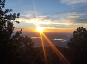
Watch Sunset from the Lost Gulch Overlook
From Boulder, drive west on Baseline road. Continue up for about 5.5 miles past the Flagstaff Summit (Realization Point) pull off. After some more steep and very tight switchbacks there will be a dirt parking lot on the north side of the road. From here you can head northwest towards the cliff...Read more

