Gypsum, Colorado
Top Spots in and near Gypsum
-
Basalt, Colorado
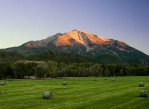
Camp at Thomas Lake and Summit Mt. Sopris
5.013 mi / 4400 ft gainWith the Elk Mountain range behind it, It appears to be standing by itself, and has the resemblance of a grand volcano.From Hwy 133 out of Carbondale, turn down Prince Creek Road and drive 6 miles to the trailhead. The trail is a nice mixture of meadows and woods, with excellent views of the vall...Read more -
Garfield County, United States
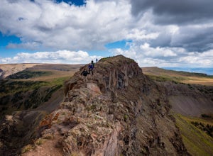
Hike the Devil's Causeway Loop
5.010.5 mi / 1550 ft gainCrossing the Devil's Causeway is a rite of passage for Colorado hikers. The dramatic exposure will terrify some and exhilarate others, but the loop offers much more than the short rocky expanse that's the draw for most people.The Approach: From the trailhead at Stillwater Reservoir, the East Fork...Read more -
Snowmass, Colorado
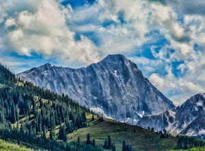
Capitol Lake via Capitol Ditch
5.012.28 mi / 2575 ft gainThe route to Capitol Lake is fairly straightforward, but not without its minor hardships. The route begins at the end of Capitol Creek Road, 9 miles from the small "town" of Snowmass (NOT Snowmass Village - that's the high-class ski resort). The last few miles of this road provide the first min...Read more -
Minturn, Colorado
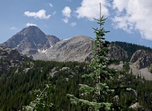
Climb Mount of the Holy Cross, North Ridge
4.5Just a few miles South Minturn, Colorado, turn onto Tigiwon Road (dirt) and take it about 5 miles to the Half Moon trailhead at . Tigiwon Road is easily accessed by 2WD vehicles and the trailhead should be reachable in the Summer months after the snows have melted.Start early as, at 12 miles, thi...Read more -
Minturn, Colorado
Scramble the Halo Ridge on Mt. Holy Cross
5.015 mi / 5210 ft gainThe Halo Ridge is by no means the easiest route to the summit of Mt. Holy Cross, but it is definitely the most interesting and scenic. You'll begin at the Half Moon (Tigiwon) trailhead, but instead of the popular Halfmoon Trail, you will start on the Fall Creek Trail as it leaves the campground.T...Read more -
Minturn, Colorado
Hike to Tuhare Lakes
12 mi / 3000 ft gainOverview: About a 12 mile hike, with 3 alpine lakes, a significant climb and views worthwhile Photos: See all photos here. Getting There: The hike is accessed from the Half Moon pass parking lot - from the Fall Creek trailhead. The parking lot and trailhead are accessed at the end of Tigiwon Rd. ...Read more -
Minturn, Colorado
Ski Notch Mountain
10 mi / 3000 ft gainWhat's not to love - you'll be skiing in the off season! We did this hike/ski in late June, our skis, boots, and avi gear packed with our hiking shoes on our feet. May could potentially be the most opportune time for this adventure. The hike you will take is the traditional Notch Mountain Hike. T...Read more -
Vail, Colorado
Hike the Upper Piney River Trail
4.05.6 mi / 350 ft gainBeginning at an elevation of 9,397 feet, this hike provides an easy 2.8 mile (one way) trip through the gorgeous meadows against the distant aspens and alpines. Wildflowers and wildlife are abundant, which make this trip a fantastic education and play experience for kids.Coordinates for the trail...Read more -
Vail, Colorado
Backpack to Bubble Lake
3.013 mi / 3600 ft gainThe Gore's are a rough and remote section of the Eagle's Nest Wilderness. What this trip may lack in overall miles, it more than makes up for in elevation gain, scrambling, boulder hopping, and overall hard miles on the trail. Every trip I have had the pleasure of taking into the Gore Range has...Read more -
Leadville, Colorado
Savage Lakes Trail
5.03.97 mi / 1299 ft gainThe majority of this hike traverses through the beautiful forest that is part of the Holy Cross Wilderness. No significant views are to be had until you've climbed 1,300 ft over 2. miles and reach lower Savage Lake. The trail is easy enough to follow with no junctions along the way, and is adjace...Read more -
Bond, Colorado
Camp at Radium Campground
This was a rafting/camping trip. We camped at the Radium Campground and rafted 4.5 miles from Pump House Boat Launch. BLM charges $5.00 per vehicle at the boat launch sites and $10.00 per night for camping.Keep an eye out for big horn sheep. I saw them grazing on the side of the colorado river.Yo...Read more -
Vail, Colorado
Sunset Hike on the West Vail Trail
3.02 mi / 300 ft gainStarting in Lionshead, Vail, CO take the Gondola 19 up to the top of the mountain and head west straight out past Chair 26 and towards the Vail Mountain Wedding deck. Past the deck there will be a trail that you can follow out onto the edge of the mountain called the W Vail Trail. This trail will...Read more -
Aspen, Colorado
Hike the Mayfly Trail, Snowmass
0.25 miLocated in Snowmass Village CO, this trail is nestled between Brush Creek and Brush Creek Road.Drive your vehicle to Clark's Market (16 Kearns rd Aspen, CO) and park in the lot facing down valley looking towards Woodbridge Condominiums. Along the edge of Clark's parking lot there will be a dirt t...Read more -
Meredith, Colorado
Hike to Chapman Lake
1.6 miFrom downtown Basalt, drive up the Fryingpan River Road 28 miles and turn right on CR #504, also known as Elliot Way, just before Norrie Colony. Drive across the river and up the switchbacks for approximately 3 miles. Take the left fork, continue 1 mile and take the right fork approximately 1/2 m...Read more -
Aspen, Colorado
Hike to Spiral Point (Yin Yang), Snowmass
5.01.3 mi / 284 ft gainSnowmass Village is located 15 - 20 minutes west of Aspen Colorado off state highway 82. Once in Snowmass Village, take Brush Creek road almost to the top of the hill until the road splits with Divide road (If you have made it to the Snowmass Village mall, you have missed the road and must turn b...Read more -
Aspen, Colorado
Ski or Snowboard the Burnt Mountain Glades of Snowmass
5.03.5 miThis is part of the Aspen Snowmass Ski area so you'll have to buy a ski pass to take the lift up, or if you're up for a bigger workout, put some skins on and trek up to the top of Elk Camp. The easiest way to get there is to take the Elk Camp gondola to the Elk Camp lift. Once at the top of the l...Read more

