Golden, Colorado
Top Spots in and near Golden
-
Boulder, Colorado
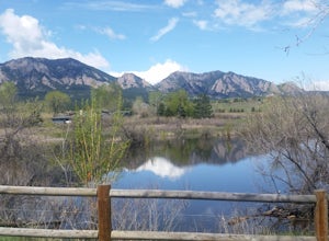
South Boulder Creek - Mesa Trail - Lower Big Bluestem Loop
4.04.46 mi / 453 ft gainThis 4 mile loop ascends only a slight amount in elevation, making for a pleasant loop in which opportunities for appreciation of the nature around you and broad vista photography are in plentiful supply. A great hike for those who may still be building their fitness, as so many trails in Boulder...Read more -
Boulder, Colorado
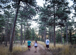
Shanahan Ridge Trail
4.03.84 mi / 715 ft gainStarting on the edge of a neighborhood in South Boulder, this 3.8 mile loop begins its 869 foot elevation gain by meandering through a pine forest. You can 'choose your own adventure' by exploring the handful of trails that meet up with the Shanahan Ridge Trail, such as the South Mesa Trail, Shad...Read more -
Boulder, Colorado
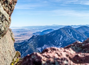
Boulder's Skyline Traverse
5.014.77 mi / 4583 ft gainHave you ever reached the bottom of a hike with some friends and thought, 'That was nice, but I'd still like to hike more... a lot more.'? Then the Skyline Traverse is for you. Instead of hiking just Green Mountain or Bear Peak, the Skyline Traverse links South Boulder Peak, Bear Peak, Green Mou...Read more -
Boulder, Colorado
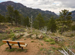
Hike or Bike the Walker Ranch Loop
4.77.7 mi / 1740 ft gainWhen it comes to hiking trails in Boulder, the standard response usually consists of either Chautauqua Park or Mt. Sanitas, and while both offer excellent hiking options, they are both usually jam packed on the weekends. If you’re looking to stay close to the city, but want a little more seclusio...Read more -
Littleton, Colorado
Golden Eagle Trail to Bill Couch Mountain
5.06.76 mi / 1509 ft gainGolden Eagle Trail to Bill Couch Mountain is an out-and-back trail that provides a good opportunity to view wildlife located near Indian Hills, Colorado.Read more -
Littleton, Colorado
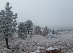
Snowshoe Deer Creek Canyon Park
5.1 mi / 1250 ft gainDeer Creek Canyon Park offers up to 13 miles of wind-sheltered trails perfect for enjoying after a fresh snow. The Plymouth Mountain Trail offers steep climbs and big views while Homesteader Trail offers the best forest scenery in the Denver area. The recommended route is Plymouth Creek Trail to ...Read more -
Littleton, Colorado
Hike the Meadowlark Plymouth Trail
4.06 mi / 1197 ft gainFrom the parking lot, you can take the Meadowlark trail to the west or the Plymouth Creek Trail to the southeast. It does not matter which trail you take because it ends up becoming loop. For a more gradual slope up the hill, take the Meadowlark trail. After a little more than a mile, it intersec...Read more -
Littleton, Colorado
Hike or Bike Hildebrand Ranch
4.05.1 mi / 324 ft gainHildebrand Ranch Park is often overshadowed by the other nearby Jeffco Parks, but for the few that it does attract the trails do not disappoint. The Two Brands Trail starts at about 5600ft just off of Deer Creek Canyon Rd. It is a relatively flat trail that tops out at about 5821ft making it a...Read more -
Boulder, Colorado
Mars Blocks via Bear Canyon Trailhead
4.89 mi / 1923 ft gainThe Bear Canyon Trailhead is just one of many starting points for this hike, one could also start at NCAR, North Fork Shanahan, or any point on the Mesa Trail. For the purposes of this adventure, I'll start at Bear Canyon Trailhead in South Boulder. This hike will take you about 2-4 hours dependi...Read more -
Boulder, Colorado
Woods Quarry via NCAR
4.23.28 mi / 755 ft gainYou can start from Chautauqua Park, but I prefer to start at NCAR, especially since there is ample parking and you can take a bathroom break inside before hitting the trail. From the intersection of Table Mesa Drive and Broadway in Boulder, drive west on Table Mesa to its end at the NCAR buildin...Read more -
Conifer, Colorado
Upper Maxwell Falls Trail
1.11 mi / 135 ft gainUpper Maxwell Falls Trail is an out-and-back trail, which is the shortest and most direct route to Maxwell Falls located near Conifer, Colorado. If you're looking for a little longer trail, check out this Maxwell Falls adventure for a roughly 4-mile loop hike.Read more -
Boulder, Colorado
Catch a Boulder Sunrise from NCAR
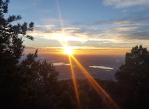
A great place to watch the sunrise in Boulder is at NCAR, the National Center for Atmospheric Research. Park in the parking lot at the top of the hill, and if you're feeling up to it, you can walk south for about 10 minutes to an adjacent hill with beautiful views. Either way, you will want to ge...Read more -
Boulder, Colorado
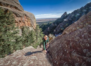
Scramble Angel's Way
5 mi / 1000 ft gainAngel's Way is an amazing 8 pitch rock climb scramble (5.2) that is tucked away in Skunk Canyon, hidden from the crowds of Chautauqua. The best part of this scramble is you only need your climbing shoes and chalk-bag. It is similar to the 'Free Way' on the Second Flatiron. I would encourage ev...Read more -
Boulder, Colorado
Trail Run Near Boulder - NCAR Hill Climb
4.52 mi / 700 ft gainThe NCAR Hill Climb, so named because it ends at the National Center for Atmospheric Research, is popular with cyclists, but is a great choice for runners as well. Follow the NCAR - Table Mesa Trail to the top, with beautiful views of the Flatirons and surrounding hills during any season.Make sur...Read more -
Idaho Springs, Colorado
Squaw Mountain Fire Lookout
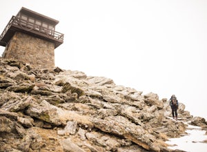
4.03.92 mi / 791 ft gainCome check out the Squaw Mountain Fire Lookout, a historic spot located in the Mount Evans Wilderness Area of Colorado, and one of the highest lookout towers in the country, at an elevation of 11,486 ft. Just a short drive from the Front Range corridor, you can hike/backpack in to this lookout ar...Read more -
Boulder, Colorado
Green Mountain via West Ridge Trail
3.23 mi / 607 ft gainStarting at 7,600 ft this 1.35 mile (one-way) hike is the shortest, and by far the least strenuous, hike to summit one of Boulder's iconic peaks. Parking for this trail-head is available along the road a short drive, 4.5 miles, up Flagstaff Rd. The trail gently slopes along a ridge for the firs...Read more

