Glenwood Springs, Colorado
Top Spots in and near Glenwood Springs
-
Aspen, Colorado
4.0
1.17 mi
/ 312 ft gain
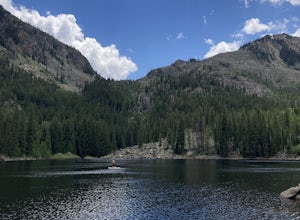
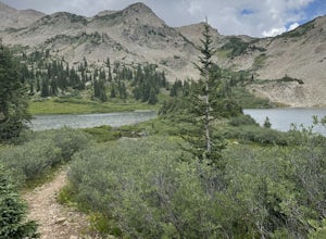
Weller Lake Trail is an out-and-back trail that takes you by a lake located near Aspen, Colorado.
Read more
-
Leadville, Colorado
5.0
3.97 mi
/ 1299 ft gain
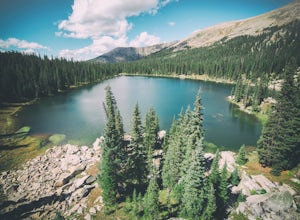
The majority of this hike traverses through the beautiful forest that is part of the Holy Cross Wilderness. No significant views are to be had until you've climbed 1,300 ft over 2. miles and reach lower Savage Lake. The trail is easy enough to follow with no junctions along the way, and is adjace...
Read more
-
Crested Butte, Colorado
Starting at 9600 feet, just outside the small town of Gothic is the trail head for Judd Falls. The parking lot is on the side of the road and getting to this area is completely possible with a passenger car. The trailhead includes bathrooms and is particularly uncrowded on weekdays and in the lat...
Read more
-
Crested Butte, Colorado
Please Note: Conundrum Springs camping requires an overnight permit. You must get a permit in order to camp at the springs.
If you're looking for an incredibly challenging hike, Copper Creek to Triangle Pass to Conundrum Springs is the hike for you! When you plug in "Conundrum Springs" into you...
Read more
-
Crested Butte, Colorado
5.0
11.53 mi
/ 2264 ft gain
The Copper Creek Trail to Copper Lake is an out-and-back trail that takes you by a waterfall located near Crested Butte, Colorado.
Read more
-
Aspen, Colorado
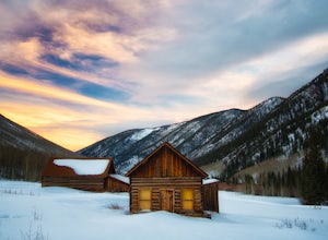
At the round-a-bout that leads into the town of Aspen, take the Castle Creek Road exit. Follow this road for 12 miles until you get to the ghost town of Ashcroft. The road itself is very scenic, so be prepared to pull over and whip out your camera!During winter, the road ends at Ashcroft and a cr...
Read more
-
Aspen, Colorado
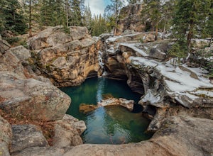
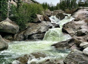
The Roaring Fork River has several little waterfalls that end up in a deep swimming hole called The Devil's Punch Bowl. This is a must-see if you are driving up to the Independence Pass. I have never seen such blue water before (outside of an amusement park).
While Driving from Aspen on CO82 to...
Read more
-
Aspen, Colorado
Just nine miles east of Aspen on Highway 82, Independence Pass, are grottos. A grotto is a geological term for a cave or cavern. The Grottos near Aspen were formed by rushing water of the Roaring Fork River. There is only an elevation gain of 300 feet on the three-quarters of a mile loop making...
Read more
-
Aspen, Colorado
4.7
5.6 mi
/ 2000 ft gain
Cathedral Lake offers an excellent alternative to escape the crowds that swarm the Maroon Bells area, especially in the peak autumn season. The drive along Castle Creek Rd towards the abandoned ski town Ashcroft is lined with aspens showing off their golden hues. Parking at the trailhead is plent...
Read more
-
Aspen, Colorado
5.0
12.71 mi
/ 5125 ft gain
There are many different places to start the trek up to Castle and Conundrum. The first step, however, is always go to the end of Castle Creek Road just outside of Aspen, CO. When the paved road ends, there is parking available right off the road for those who don't wish to drive further. Howe...
Read more
-
Crested Butte, Colorado
Looking for an easy trail run, close to town, with killer views? Snodgrass Mountain Trail is one of your best bets, with flowy singletrack through aspen groves and views of Mt. Gothic and Mt. Crested Butte. While there are endless beautiful trails to hike and run in the Crested Butte area, this o...
Read more
-
Crested Butte, Colorado
Oh Be Joyful Campground sits on the banks of the Slate River and consists of 15 camp sites dispersed over a decent amount of ground, split into two sides of the river. The river, when it's low is more of a stream and is only passable when it's low. It's a small thrill to drive through it to get t...
Read more
-
Crested Butte, Colorado
Overview: Round Trip is about 13 miles, about 500 ft ascent at the beginning and 1500 ft ascent in the last 1.5 miles. The majority of the hike is flat and through an AMAZING valley.
Getting There: Blue Lake Trailhead is located at Oh Be Joyful Campground on Slate River Rd, just across a river,...
Read more
-
Crested Butte, Colorado
If you're not already camping there, park at Oh Be Joyful Campground, about 5 miles up County Road 734 from downtown Crested Butte. There's parking on either side of the river crossing, but you're going to have to get your feet wet anyway, so might as well park in the first parking lot and walk a...
Read more
-
Crested Butte, Colorado
From Crested Butte, drive north on Gothic Road and turn left on Slate River Road. Drive 4.5 miles on the dirt road and look for the Oh-Be-Joyful Campground which will be on your left. Drive about 0.5 miles to the campground at the bottom of the hill, by a wide river. This trail begins by a quick...
Read more
-
Aspen, Colorado
Back in the late 1800s, Ashcroft, Aspen, and Independence were booming mining town. While Aspen is still thriving today, Ashcroft and Independence are ghost towns. Independence Ghost Town is on Independence Pass, 16 miles east of Aspen on Highway 82.
The Farwell Mill sits right along the highwa...
Read more

