Glenwood Springs, Colorado
Top Spots in and near Glenwood Springs
-
Carbondale, Colorado
This 20-foot pool is surrounded by beautiful peaks, and is only a short distance from the parking area. Keep in mind this spot is popular on the weekends.
Read more
-
Rifle, Colorado
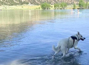
Rifle Gap Reservoir is an out-and-back trail that takes you by a lake located near Rifle, Colorado.
Read more
-
Snowmass, Colorado
5.0
12.28 mi
/ 2575 ft gain
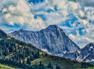
The route to Capitol Lake is fairly straightforward, but not without its minor hardships. The route begins at the end of Capitol Creek Road, 9 miles from the small "town" of Snowmass (NOT Snowmass Village - that's the high-class ski resort). The last few miles of this road provide the first min...
Read more
-
Carbondale, Colorado
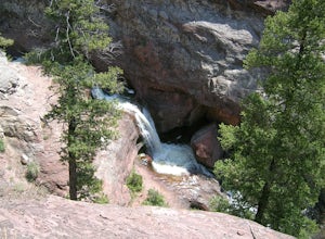
Right off of Highway 133 about 2 miles south of Redstone, lies a very easy-to-get-to Waterfall. Park your car off to the side of the highway, walk about 100 feet and you will find this glorious waterfall. The fall is best to see in the late Spring to early Summer. From late Spring, to early Summe...
Read more
-
Gypsum, Colorado
Depending where you choose to access the Hardscrabble area from, this can be a fairly easy day hike or an overnight camping trip. If looking for a shorter day hike, access the Hardscrabble area by way of Hardscrabble Mountain Rd. From the town of Eagle, head South on Sylvan Lake Rd. In 5 miles, t...
Read more
-
Gypsum, Colorado
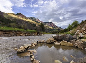
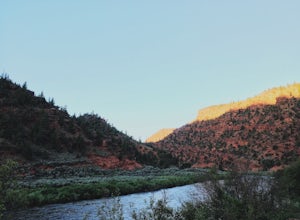
This amazing campsite has river access (freezing cold!), beautiful scenic views of red rocks and rock faces in varying shades of brown and tan. It's the only campsite at this location so feel lucky that this whole area is just yours. Beautiful views of the moon and stars and get ready for the rus...
Read more
-
Aspen, Colorado
Snowmass Village is located 15 - 20 minutes west of Aspen Colorado off state highway 82. Once in Snowmass Village, take Brush Creek road almost to the top of the hill until the road splits with Divide road (If you have made it to the Snowmass Village mall, you have missed the road and must turn b...
Read more
-
Aspen, Colorado
This is part of the Aspen Snowmass Ski area so you'll have to buy a ski pass to take the lift up, or if you're up for a bigger workout, put some skins on and trek up to the top of Elk Camp. The easiest way to get there is to take the Elk Camp gondola to the Elk Camp lift. Once at the top of the l...
Read more
-
Aspen, Colorado
This is part of the Aspen Snowmass ski area so you'll have to buy a ski pass to take the lift up. The easiest way to get there is to take the Village Express lift to the top and once you get off turn left. You'll ski down the "blue" trail, Max Park, to Trestle and end at the Sheer Bliss lift. Tak...
Read more
-
Aspen, Colorado
The Verde and Viking trails at Aspen Snowmass resort are long winding trails perfect for beginners and intermediates. The trails are a combination of open and forest-lined paths varying from 1 to 6 feet wide. They both do a nice job of combining large wide turns where you can keep your speed to e...
Read more
-
Aspen, Colorado
Located in Snowmass Village CO, this trail is nestled between Brush Creek and Brush Creek Road.Drive your vehicle to Clark's Market (16 Kearns rd Aspen, CO) and park in the lot facing down valley looking towards Woodbridge Condominiums. Along the edge of Clark's parking lot there will be a dirt t...
Read more
-
Carbondale, Colorado
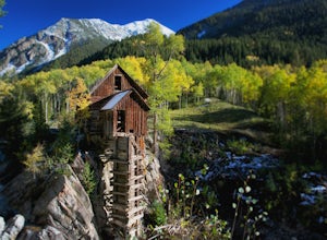
Although the iconic Crystal Mill is the main attraction on this hike, the river that leads you there through the magnificent mountains of the White River National Forest is nothing short of extraordinary.Getting ThereThe hike is located in the small town of Marble, about 40 minutes east of Carbon...
Read more
-
Aspen, Colorado
Park at the Buttermilk Ski Area parking lot and begin your hike up the mountain at the bottom of the Summit Express chair lift. Follow the 4x4 dirt road the entire way up Buttermilk. There are other small hiking trails that you can follow too, and with the entire mountain being a ski area, it's s...
Read more
-
Basalt, Colorado
If you have stayed in other 10th Mountain Division Huts, Peter Estin is a quite similar and definitely one of my favorites. I made the trip in the winter because of the awesome skiing/snowboarding just right out side the front door.The trailhead begins at Yeoman Park and there are two routes that...
Read more
-
Basalt, Colorado
I decided to make an Outbound listing for this because the AllTrails listing is incredibly inaccurate. Hopefully you're reading this one!
Your adventure starts at the trailhead of Fulford Cave / Fulford Cave Campground in Yeoman Park. Yeoman Park is just past Sylvan Lake State Park and is consid...
Read more
-
Carbondale, Colorado
This is an intermediate hike with scenic views, even before reaching the lake and waterfall. Note that access to the trailhead does require 4WD, as the final section of road is difficult and steep in sections.
Read more

