Frisco, Colorado
Looking for the best hiking in Frisco? We've got you covered with the top trails, trips, hiking, backpacking, camping and more around Frisco. The detailed guides, photos, and reviews are all submitted by the Outbound community.
Top Hiking Spots in and near Frisco
-
Silver Plume, Colorado
Argentine Railroad Grade
5.05.35 mi / 863 ft gainThe Argentine Central Railroad Grade trail is just what it says: it follows the old rail bed of the Argentine Central line. All railway remnants have long since been removed, and in its place is a wide, well-defined trail with an easy grade. With just a 900-foot incline over the course of about t...Read more -
Jefferson, Colorado
Colorado Trail: Kenosha Pass to FR 130
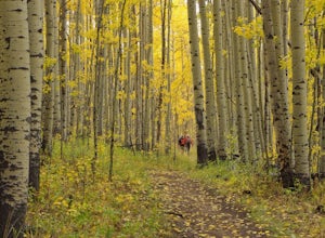
4.66.81 mi / 938 ft gainThe Colorado Trail (http://www.coloradotrail.org) is 500 miles long and stretches from Denver to Durango. Perhaps the most-traveled portion of the Colorado Trail is at Kenosha Pass. Kenosha Pass is well-known for its thick, colorful stands of aspen in the fall. During peak leaf season (late Septe...Read more -
Silverthorne, Colorado
Hike Cataract Lake and Falls
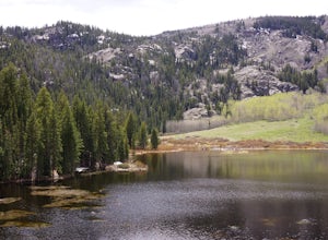
4.72.1 mi / 200 ft gainMy husband and I heard about this hike while we were at a marriage retreat in nearby Dillon. This is the perfect casual day hike for a couple, small groups, or families with children. While we were there in May, just before the aspens were fully leafed out, it was easy to see that this location w...Read more -
Dillon, Colorado
Hike the 7:30 Mine Road in Silver Plume
4.05 mi / 1200 ft gainWith a name like 7:30 Mine Road, this is one hike I had to investigate to see if it lives up to its name. Even though this is an easier hike than I normally choose, what it lacks in challenging terrain, it makes up for in historic interest. The view isn’t too bad, either.7:30 Mine Road is about t...Read more -
Idaho Springs, Colorado
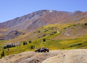
ATV Leavenworth Creek Road (Guanella Pass)
16.6 mi / 3655 ft gainSeptember is famous in Colorado for clear, deep blue skies,sublimely perfect temperatures, and gold-digging – of the leaf variety, thatis. On September 9, wildflower season was recently past and the best of theleaves were yet to come, but it was the perfect, clear and sunny day to checkout the hi...Read more -
Minturn, Colorado
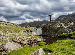
Backpack the High Alpine Seven Sisters Lake Chain
12 mi / 1000 ft gainThis lake chain is in a spectacular, undeveloped bowl of jagged and rugged mountain goodness located in the Holy Cross Wilderness Area. This hidden gem is easily accessible and, to my amazement, it is relatively unheard of even among many locals. More wonderful perks included in this backpacking ...Read more -
Berthoud Pass Parking Lot, Colorado
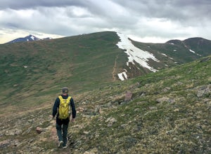
Mount Flora
5.06.29 mi / 1788 ft gainColorado’s Rocky Mountains offer hikes of all lengths, sizes and difficulties. Mt. Flora stands at a lofty 13,146 ft and is a great intro to climbing peaks in Colorado. Roundtrip, this hike is 6.3 miles and will take you (in the summer) through fields of alpine wildflowers as you climb into Color...Read more -
U.S. 40, Colorado
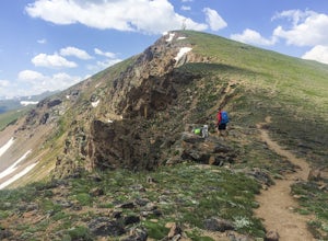
Parry Peak
11.82 mi / 4209 ft gainThe trek to Parry Peak crosses three other peaks (Colorado Mines Peak, Mt. Flora, and Mt. Eva) along the Rocky Mountains. Begin your hike around sunrise as inclement weather often rolls in during the late afternoon. The trail is extremely rocky and steep. From the Berthoud Pass parking lot, fol...Read more -
Fraser, Colorado
Summit Byers Peak
8.8 mi / 2774 ft gainThe drive to the start of the trail is okay, having a high clearance vehicle would make the drive easier, but is not necessary. Free parking is available along the side of the road.The trail starts on a closed service road at a gate and requires you to either hike or bike up the dirt road (2 mil...Read more -
Minturn, Colorado
Hike to Fancy Pass
5.06 mi / 2373 ft gainThe Fancy Pass Trail near Red Cliff is an excellent option for those looking to experience hiking in the rugged and pristine conditions of a wilderness area. This 6 mile roundtrip trail will take you into the Holy Cross Wilderness and up close and personal with towering peaks, verdant meadows, an...Read more -
Evergreen, Colorado
Watch the Sunset from Mt Evans Road
5.0Leave Evergreen, CO and access the Mount Evans Road and Mount Evans Recreation Area from Squaw Pass, CO 103 at Echo Lake.Drive along the slopes of Mount Evans, a Colorado 14er standing at 14,264 ft. 5 switchbacks down from the summit, on a tight hairpin turn, is a small parking area near 13,900f...Read more -
Idaho Springs, Colorado
Hike to Hell's Hole
4.5The name is uninviting, but Hell’s Hole is a scenic, shallow basin in the Mount Evans Wilderness near Idaho Springs. Starting elevation is about 9500 feet. Right after the trailhead, you pass through a few camping sites in the Chicago Creek Picnic Area. About five minutes into the hike is the per...Read more -
Evergreen, Colorado
Mount Evans and Mount Spalding Loop
4.38.47 mi / 1706 ft gainMount Evans is a simple, yet drop dead gorgeous 14er. That being said, no 14er is easy by any means. However as far as 14er's go, this is a cake walk. Coming in at a rating of class 2, there tends to be some scrambling but nothing a well balanced person can't handle. To begin this adventure, we ...Read more -
Winter Park, Colorado
Snowshoe to Broome Hut
1.5 mi / 729 ft gainTake I-70 from Denver and then US 40, go all the way to Mile marker 240 of US 40 and park in the area at the side of the road. The Second Creek trail head is just behind the parking area and is easy to find.The trail climbs from a start at 10,600ft and finishes up at 11,325ft at the hut, but you ...Read more -
Winter Park, Colorado
Twin Cones via Second Creek Trailhead
5.04.85 mi / 1614 ft gainThis hike begins at Second Creek Trailhead off of US Highway 40. It's pretty steep right off the bar gaining about 800ft of elevation in the first mile. This first mile takes you to Broome Hut, which has a bathroom and is a great place to stop and take a break. Keep in mind that there are no dogs...Read more -
Leadville, Colorado
Overnight at the Emma and Marceline Yurts, Leadville
11 mi / 1200 ft gainDrive past the main downtown of Leadville and then head into the mountains south of town, following Mt. Sherman Road to the Yurt parking along a ridge before you come to the Black Cloud Mine. There are signs that say "Yurt Parking". Follow the road a little further down to a jeep road just before...Read more

