Fraser, Colorado
Top Spots in and near Fraser
-
Conifer, Colorado
Elk Falls Loop
3.512.76 mi / 1893 ft gainBegin on Staunton Ranch Trail for 3.3 miles. Switch to Bugling Elk Trail for the next 1.1 miles, then to Lion's Back Trail for the last mile to the overlook. From here, you can create the loop by backtracking to the Chimney Rock Trail, which then connects with the Elk Falls Trail. To head back to...Read more -
Walden, Colorado
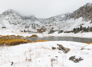
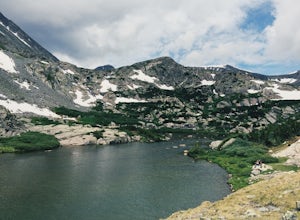
Hike to American Lakes
5.011 mi / 1680 ft gainAmerican Lakes are two high alpine lakes located within State Forest State Park and the Never Summer Mountain Range. The park is located about 75 miles west of Fort Collins, Colo. along Highway 14 on the west side of Cameron Pass.Coming down from Cameron Pass, look for a sign for the American Lak...Read more -
Walden, Colorado
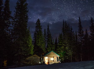
Overnight at Nokhu Hut
5.03 mi / 540 ft gainThe Nokhu Hut is part of the Never Summer Nordic Hut system, and makes for the perfect beginner Hut trip. The Hut has a stocked kitchen, wood shed, and small wood burning stove that keeps the tiny hut toasty warm.From the Hut, it is a short, easy hike to Lake Agnes - the trail often stays snowy u...Read more -
Bond, Colorado
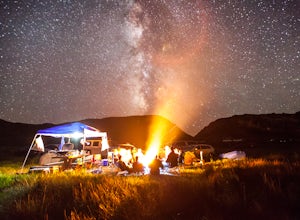
Camp at Radium Campground
This was a rafting/camping trip. We camped at the Radium Campground and rafted 4.5 miles from Pump House Boat Launch. BLM charges $5.00 per vehicle at the boat launch sites and $10.00 per night for camping.Keep an eye out for big horn sheep. I saw them grazing on the side of the colorado river.Yo...Read more -
Lakewood, Colorado
Hike to Radio Tower Overlook
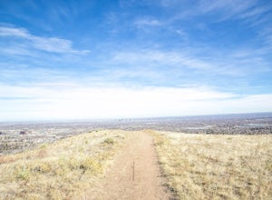
4 mi / 1312 ft gainI loved this trail when I lived in Lakewood. It has a decent elevation gain, close to the city, spectacular views, and you can pretty much hike it year round unless you just had a winter snow storm (though you could just hike in snow boots!). I take the John O Hayden Trail from the Utah Parking l...Read more -
Lakewood, Colorado
Green Mountain Trail Loop
4.16.37 mi / 1060 ft gainGreen Mountain Trail is a 6.5-mile loop and has a challenging ascent to the park's highest point. Because the mountain is one of the first to rise out of the plains, you get unique views of where the mountains meet the prairie and fascinating geology. The summit, at 6,857' offers stunning views o...Read more -
Lakewood, Colorado
Green Mountain Mountain Bike Loop
4.06.9 mi / 1047 ft gainSkip the bar and spend happy hour hiking/biking this fun and easy loop. With convenient access from the Denver-Metro Area, this spot is perfect for a quick ride after work, or hike with your dog. The park has three parking lots, and the trail can be completed as a loop system (in either directio...Read more -
Longmont, Colorado
McIntosh Lake Loop
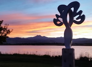
4.53.6 mi / 72 ft gainMcIntosh Lake is in northwest Longmont. The 3.6-mile loop extends all the way around the lake, with the first half being on a paved cement trail with neighborhood playgrounds, basketball, volleyball, and a seasonally open restroom. The trail turns to dirt on the western half of the loop, and here...Read more -
Breckenridge, Colorado
Hike the East Ridge of Pacific Peak
5.08 mi / 3500 ft gainStart from the McCullough gulch trailhead. If possible it would be worth having 2 cars and leaving one at the main McCullough trailhead so you don't have to walk the road on your way down. Bushwack through trees and willows up the ridge directly to the north of the trailhead. You might be lucky a...Read more -
Walden, Colorado
Cross-Country Ski to American Lakes
4.012 mi / 800 ft gainWARNING! AVALANCHE DANGER!Make sure you have avalanche safety knowledge and equipment. This route enters avalanche terrain.If you are looking for one of the ultimate cross-country ski treks along the northern Front Range, look no further. This trip takes you to the American Lakes at the base of t...Read more -
Walden, Colorado
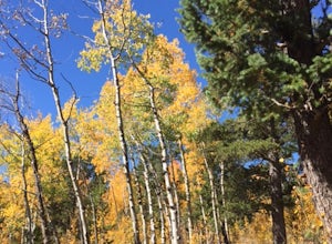
View Fall Color on Cameron Pass
From the front range, drive west of Fort Collins, Colo. on Highway 14 towards Walden, Colo. When you enter Highway 14 from Fort Collins, look for Ted's Place. Ted's is a gas station and convenient store, stop here to hit the bathroom, fill up on gas, and grab some snacks. There will be very few f...Read more -
Walden, Colorado
Backcountry Ski or Snowboard at Cameron Pass
To get to Cameron Pass, drive west out of Fort Collins from Highway 287, to Highway 14, into Poudre Canyon. Take the drive all the way through Poudre Canyon, and soon you will climb out of the canyon and towards the continental divide at Cameron Pass. Once you see the sign at the top of the pass ...Read more -
Walden, Colorado
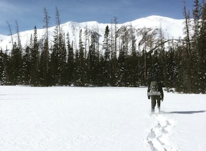
Snowshoeing at Blue Lake near Cameron Pass
10 mi / 1500 ft gainWhile the trail does have quite a bit of elevation gain you don't really feel it since it is dispersed among five miles of trail. The first part of the trail is a wider road with a few look out points of nearby Chambers Lake. About two miles in you reach the end of the National Forest area. From ...Read more -
Breckenridge, Colorado
Hike McCullough Gulch to Upper Blue Reservoir
5.02.8 mi / 910 ft gainThe trail first takes you to Upper Blue Reservoir, about 1.4 miles in. Past this point, it can be somewhat tricky to find the trail, but for experienced hikers, the upper valley holds a number of lakes, a waterfall, and open tundra for exploring. Mountain goat sightings are also common in this ar...Read more -
Frisco, Colorado
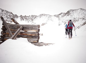
Backcountry Ski or Snowboard at Mayflower Gulch
If you were driving down highway 91 towards Leadville and blinked at just the right moment, you'd drive right past this hidden gem of an area. Located just over 6 miles South of Copper Mountain ski resort on the East side of highway 91, the parking lot for the Mayflower Gulch trail head offers pl...Read more -
Frisco, Colorado
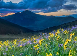
Hike to Mayflower Gulch
4.74 mi / 1000 ft gainGetting to the Mayflower Gulch is pretty easy, you can either hike an easy 2 mile forest road or drive all the way to end (you need decent clearance for the drive). At the end of the hike you are greeted with a stunning view of the Old Boston mining site. During the summer, wildflowers are abunda...Read more

