Estes Park, Colorado
Looking for the best photography in Estes Park? We've got you covered with the top trails, trips, hiking, backpacking, camping and more around Estes Park. The detailed guides, photos, and reviews are all submitted by the Outbound community.
Top Photography Spots in and near Estes Park
-
Golden, Colorado
Hike the North Table Mountain Loop
3.1 mi / 400 ft gainThe hike starts out from the North Table Mountain Park parking lot just east of Highway 93 on the North Table Loop Trail, with a half-mile fire road straight up the mountain. This fire road is by far the most strenuous part of the hike, and is essentially the sole elevation gain for the hike; onc...Read more -
Golden, Colorado
Hike the Golden Cliffs Trail
5.0From here, you can choose a few different hiking paths. This out-and-back trek starts at the trailhead up and to the left. Along the way you'll pass a bench dedicated to Craig Luebben — a writer, photographer and climbing guide. At this point, you probably haven't even broken a sweat yet. It's ti...Read more -
Golden, Colorado
Hike the Elk Range Trail
2.5This is an incredible and beautiful hike that is just off of Route 6 but feels a million miles away. Drive up Douglas Mountain Road for the west park access (and I do mean UP - it's a quick elevation gain), and you'll run right into the Centennial Cone Park entrance. There is a bathroom and a dec...Read more -
Wellington, Colorado
Hike the Bent Rock Trail at Red Mountain Open Space
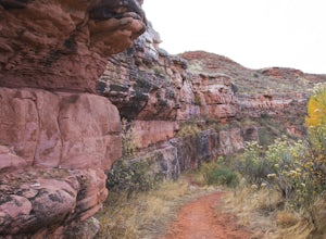
2.6 mi / 200 ft gainTo get to Red Mountain Open Space from Fort Collins, take Highway 287 to Highway 1. Follow Highway 1 until you see County Road 15, get off there. This is where it gets confusing, so hang on. You will follow CR15 for a few miles until CR78, take a left onto CR78. Then take a right on CR17, then a ...Read more -
Wellington, Colorado
Hike the K-Lynn Cameron Trail in the Red Mountain Open Space
5.4 mi / 800 ft gainThe K-Lynn Trail is a 2.4 mile loop trail that goes west off of the Ruby Wash Trail on the western side of the Red Mountain Open Space. To get there, take the Bent Rock Trail from the Red Mountain Open Space parking lot where the Red Canyon / Antelope Valley road dead-ends.Once on the Bent Rock T...Read more -
Parshall, Colorado
Camp at Jones Pass
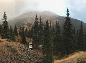
4.5To locate these campsites all you have to do is type in Jones Pass Road into google maps or your iPhone and it will take you straight there. There are road signs once you get off I-70 that will help you the rest of the way that say Jones Pass. Once you hit the dirt road and pass the Jones Pass Tr...Read more -
Parshall, Colorado
Ski or Snowshoe Jones Pass
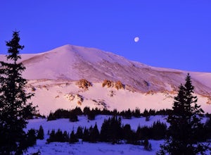
4.06 mi / 1600 ft gainIts sister trail, Butler Gulch, is an all-time favorite hike (both summer and winter), and since they share a trailhead, I knew Jones Pass would be special as well.Jones Pass is not the type of trail I normally take, since it is actually a 4x4 road that is used for Jeeping in the summer and snowm...Read more -
Parshall, Colorado
Butler Gulch
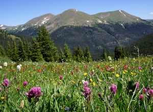
4.55.26 mi / 2008 ft gainButler Gulch is a pristinely beautiful day hike in the heart of the Arapaho National Forest near Idaho Springs, Colorado. Easily accessible from Denver, Butler Gulch is full of jaw-dropping views in all seasons, and anyone in good health can enjoy this gem. The hike is five miles long and rated ...Read more -
Golden, Colorado
Hike South Table Mountain
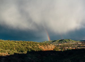
4.03.3 mi / 1500 ft gainWant to see a rainbow? Possibly some coyotes or other Colorado wildlife?This hike is full of twists and turns, mostly involving the trail, but also in surprises along the way.Drive into downtown Golden (grab some food if you're hungry) and then park at the base of the Golden Summit trail. Startin...Read more -
Golden, Colorado
Hike Beaver Brook Trail at Windy Saddle Park
5.05 mi / 500 ft gainJust outside of Golden, CO is Lookout Mountain. If you’ve ever driven westbound on i70 from Denver to the mountains, you’ve undoubtedly seen this mountain to your right with antennas on the top. On the north side of Lookout Mountain lies Windy Saddle Park, about a 30 minute drive from Denver. Thi...Read more -
Golden, Colorado
Hike Chimney Gulch Trail at Windy Saddle Park
4.05 mi / 1000 ft gainJust outside of Golden, CO is Lookout Mountain. If you’ve ever driven westbound on i70 from Denver to the mountains, you’ve undoubtedly seen this mountain to your right with antennas on the top. On the north side of Lookout Mountain lies Windy Saddle Park, about a 30 minute drive from Denver. Thi...Read more -
Golden, Colorado
Hike Lookout Mountain Trail at Windy Saddle Park
4.02.6 mi / 500 ft gainJust outside of Golden, CO is Lookout Mountain. If you’ve ever driven westbound on i70 from Denver to the mountains, you’ve undoubtedly seen this mountain to your right with antennas on the top. On the north side of Lookout Mountain lies Windy Saddle Park, about a 30 minute drive from Denver. Thi...Read more -
Golden, Colorado
Hike Lookout Mountain
2.3 mi / 675 ft gainBegin hiking up a trail into the forest which eventually opens up into several beautiful spots that look down into the canyon below.Read more -
Golden, Colorado
Capture the Mountains Leaving Denver
5.0After shooting a friend's wedding, I was on my way home when I noticed the sky start to light up to the west. I parked the car and ran down the road. The spot is well known for how perfectly the overpass frames the mountains as drivers leave the Denver area.The total exposure time was just over 2...Read more -
Golden, Colorado
Capture Sunrise from Lookout Mountain
3.7Lookout Mountain sits just above Golden and provides one of the best easy-access viewpoints near Denver. The mountain provides numerous vantage spots along the road up, with the best at a rock outcropping just below Buffalo Bill's Gravesite & Museum (with easy parking).If you're hoping to ca...Read more -
Wellington, Colorado
Hike the Mahogany Loop Trail at Soapstone Prairie Natural Area
7.4 mi / 330 ft gainTo get to Soapstone Prairie from Fort Collins, take Highway 287 north out of town, then turn right onto Highway 1. Continue on Highway 1 until it meets with County Road 15. Take County Road 15 north all the way to Rawhide Flats Road, which leads directly into Soapstone Prairie. As you begin to ap...Read more

