Eldora, Colorado
Top Spots in and near Eldora
-
Frisco, Colorado
Hike to Mayflower Gulch
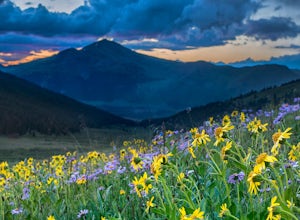
4.74 mi / 1000 ft gainGetting to the Mayflower Gulch is pretty easy, you can either hike an easy 2 mile forest road or drive all the way to end (you need decent clearance for the drive). At the end of the hike you are greeted with a stunning view of the Old Boston mining site. During the summer, wildflowers are abunda...Read more -
Frisco, Colorado
Snowshoe the Mayflower Gulch
4.74 mi / 1000 ft gainTo begin, park in the large parking lot (it is usually plowed all winter except right after a large storm). The parking lot can be reached via highway 91, approximately 6 miles south of Copper Mountain and will be on the east (left if coming from the north) side of the road. Begin up the obvious ...Read more -
Walden, Colorado
Dancing Moose Yurt [Closed]
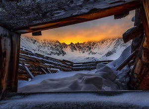
NOTE: This property is currently closed as NeverSummer, the yurt operator, is no longer in business. The yurt is located near the small town of Walden, CO (coordinates: 40 33'57.43"N , 105 59'16.93"W) about two hours west of Fort Collins. In the winter, there are many backcountry ski runs, cros...Read more -
Breckenridge, Colorado
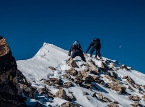
Winter Climb of North Star Mountain
4.08 mi / 2400 ft gainFrom the west parking lot at the top of Hoosier Pass, take the 4x4 road as it climbs through a forest west of the pass. Before long, the trees thin and you'll stay on the road through treeline and reach a gate at just over 12,000 feet.Stay right at the gate and continue on this old mining road as...Read more -
Vail, Colorado
Sunset Hike on the West Vail Trail
3.02 mi / 300 ft gainStarting in Lionshead, Vail, CO take the Gondola 19 up to the top of the mountain and head west straight out past Chair 26 and towards the Vail Mountain Wedding deck. Past the deck there will be a trail that you can follow out onto the edge of the mountain called the W Vail Trail. This trail will...Read more -
Vail, Colorado
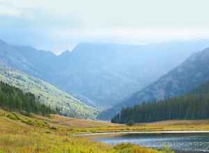
Hike the Upper Piney River Trail
4.05.6 mi / 350 ft gainBeginning at an elevation of 9,397 feet, this hike provides an easy 2.8 mile (one way) trip through the gorgeous meadows against the distant aspens and alpines. Wildflowers and wildlife are abundant, which make this trip a fantastic education and play experience for kids.Coordinates for the trail...Read more -
Vail, Colorado
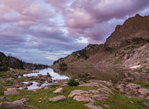
Backpack to Bubble Lake
3.013 mi / 3600 ft gainThe Gore's are a rough and remote section of the Eagle's Nest Wilderness. What this trip may lack in overall miles, it more than makes up for in elevation gain, scrambling, boulder hopping, and overall hard miles on the trail. Every trip I have had the pleasure of taking into the Gore Range has...Read more -
Fort Collins, Colorado
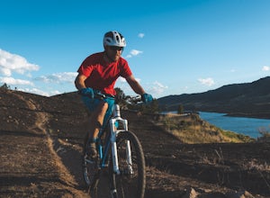
Mountain Bike Reservoir Ridge
2.3 mi / 216 ft gainSummary One of my favorite post-work rides in Fort Collins, Colorado is a short but challenging loop along Reservoir Ridge. The scenery is incredible and includes water, mountains, a great trail system, and a spattering of intermediate, rocky sections. This is a solid loop to get your heart rate ...Read more -
Bellvue, Colorado
Photograph Poudre Falls
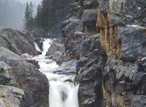
To get to Poudre Falls, simply drive up Poudre Canyon on Highway 14, just north-west of Fort Collins. The drive all of the way up to the falls is a little bit of a jaunt and will take about an hour or so. There are plenty of cool things to see on the way, so have the camera in the passenger seat...Read more

![Dancing Moose Yurt [Closed]](https://images.theoutbound.com/uploads/1454553015692/sthmscbw5916pqfr/1b559ecab7d81fde80eacc99e3b36020?w=300&h=220&fit=crop&q=60&s=f88fa81bfb38a785f8adb78434f83f54)
