Eldora, Colorado
Top Spots in and near Eldora
-
Summit County, Colorado
Hike to Crystal Peak
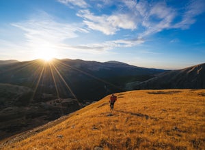
5.08.6 mi / 2482 ft gainOnce you turn off of Colorado hwy 9 onto dirt, your GPS will lead you to a gravel lot. At the end of that lot there's a pretty steep gravel road that heads NNW (GPS coords: 39°25'43.01"N 106° 4'11.30"W | Map Link if you want to plug that into your GPS for parking). From this lot you'll walk up t...Read more -
Jefferson, Colorado
Backpack Lost Creek
4.05 miI included a trail map of where I camped. There are many sites all throughout this area. From the Lost Park Campground Parking lot follow the Lost Creek for 2.4 miles. At the 1 mile mark was the best place that we found to cross the creek (there are two logs that make a bridge across the creek). ...Read more -
Bellvue, Colorado
Snowshoe Sawmill Creek Trail
7 mi / 1660 ft gainTo reach the Sawmill Creek Trailhead you have to park at the Blue Lake Trailhead parking lot located across from Long Draw Road (Rd 156) Turn-off. Once you park here you'll see a big sign for the Blue Lake Trail but you'll have to continue following the road up (Southwest) for about 100 yards unt...Read more -
Lone Tree, Colorado
Hike Bluffs Regional Park Trail
2.7 mi / 200 ft gainThis loop trail is 2.7 miles long but has several options for overlooks that add 0.8 miles to the trip. This is an easy hike with minimal elevation gain and is a great option for the whole family. Every time I've done this hike I've seen numerous deer which only adds to the hike!Read more -
Breckenridge, Colorado
Hike the East Ridge of Pacific Peak
5.08 mi / 3500 ft gainStart from the McCullough gulch trailhead. If possible it would be worth having 2 cars and leaving one at the main McCullough trailhead so you don't have to walk the road on your way down. Bushwack through trees and willows up the ridge directly to the north of the trailhead. You might be lucky a...Read more -
Breckenridge, Colorado
Hike McCullough Gulch to Upper Blue Reservoir
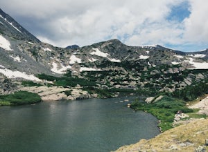
5.02.8 mi / 910 ft gainThe trail first takes you to Upper Blue Reservoir, about 1.4 miles in. Past this point, it can be somewhat tricky to find the trail, but for experienced hikers, the upper valley holds a number of lakes, a waterfall, and open tundra for exploring. Mountain goat sightings are also common in this ar...Read more -
Kremmling, Colorado
Camp at Wolford Mountain Reservoir
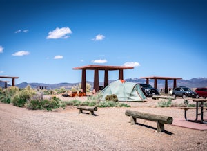
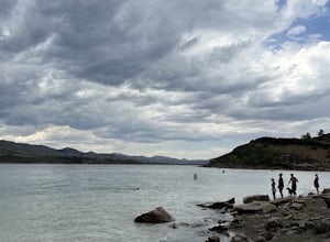
If a nice relaxing adventure is what you seek, this is the place for you. There aren't a lot of super scenic, adrenaline pumping hikes at this campground, but there are well established campsites with beautiful sunrise and sunset views. If you're a photographer, the midnight sky on a moonless nig...Read more -
Fort Collins, Colorado
Hike Arthur's Rock in Lory State Park
4.83.7 mi / 1150 ft gainThe climb to the summit of Arthur's Rock in Lory State Park provides relative isolation and solitude just 30 minutes from downtown Fort Collins along with great hiking, trail running, mountain biking, rock climbing, and horseback riding.Arthur's Rock Trail is the most direct route to the summit, ...Read more -
Breckenridge, Colorado
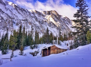
Ski or Snowshoe McCullough Gulch
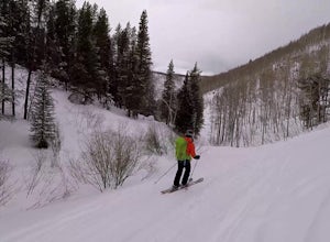
5.06 mi / 1300 ft gainIf the snow is not coming to you, you go where the snow is. Breckenridge is a good place to start; this beautiful ski area gets more than its fair share of snow, and is full of stunning trails. Why pay big bucks at one of the Nordic centers, when you can access acres and acres of the White River ...Read more -
Breckenridge, Colorado
Winter Hike to Quandary Peak (14,265')
4.67 mi / 3500 ft gainQuandary Peak is a popular winter 14er because of its easy access near Breckenridge, its Class 1 designation, and its low avalanche risk. While the access roads to many 14ers are closed in winter, adding extra mileage to an already grueling hike, Quandary Peak’s access is just off Hwy. 9, and the...Read more -
Fort Collins, Colorado
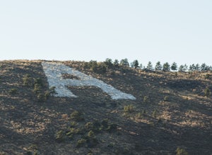
"The A" via the Foothills Trail
5.04.14 mi / 531 ft gainWhy is there an A on the side of the mountain? The "A" stands for Aggies. When Colorado State University was first founded in 1870, it was originally called Colorado Agricultural College. The mascot at the time was The Aggies. Though the college has now become Colorado State and its mascot, The...Read more -
Walden, Colorado
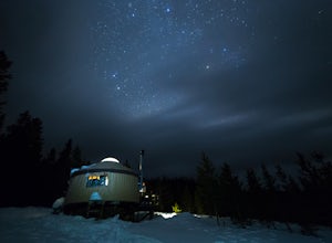
Snowshoe or Ski to Lower Montgomery Pass Yurt
5.6 mi / 853 ft gainThe Lower Montgomery Pass Yurt is a part of the Never Summer Nordic yurt system and can be reserved through their website here. In the summer it can be accessed via a 4WD road but in the winter the road closes and you can either ski, snowshoe, or snowmobile the 2.8 miles to the yurt. The trek beg...Read more -
Castle Pines, Colorado
Explore Daniel's Park
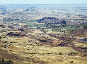
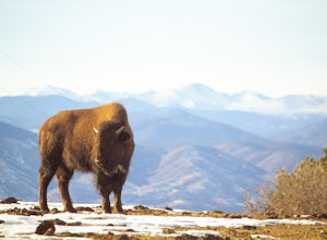
Daniel's Park is a small park in Douglas County that offers unparalleled views of the front range. There is a small walking trail that follows the road if you choose to go on foot, or you can stay in the car and drive the length of Daniel's Park Road. There is a bison herd that calls Daniels Park...Read more -
Fort Collins, Colorado
Horsetooth Reservoir North Foothills Trail
2.64 mi / 295 ft gainHorsetooth Reservoir North Foothills Trail is a loop trail that takes you by a waterfall located near Fort Collins, Colorado.Read more -
Vail, Colorado
Ski the Minturn Mile
The Minturn Mile is best accessed after spending the day at Vail, but can be done so with skins and skis from the base. This description will assume you have access to the lifts at Vail by parking at one of the many resort/town parking areas. From either the top of Game Creek Express or Wildwoo...Read more -
Frisco, Colorado
Backcountry Ski or Snowboard at Mayflower Gulch
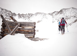
If you were driving down highway 91 towards Leadville and blinked at just the right moment, you'd drive right past this hidden gem of an area. Located just over 6 miles South of Copper Mountain ski resort on the East side of highway 91, the parking lot for the Mayflower Gulch trail head offers pl...Read more

