Edwards, Colorado
Looking for the best running in Edwards? We've got you covered with the top trails, trips, hiking, backpacking, camping and more around Edwards. The detailed guides, photos, and reviews are all submitted by the Outbound community.
Top Running Spots in and near Edwards
-
Aspen, Colorado
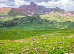
Run the 4-Pass Loop in the Maroon Bells-Snowmass Wilderness
27.1 mi / 8000 ft gain*The 4-Pass Loop likely won't be doable until July due to the heavy snowpack this year and wet slide danger on the steep pass approaches.Taking on the 4-pass Loop is no easy feat but completely worth the training and effort. The run starts at Maroon Lake and heads up to Crater Lake where the loo...Read more -
Silver Plume, Colorado
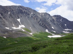
Grays and Torreys Peaks
4.37.97 mi / 3458 ft gainAt about an hour's drive from Denver, Grays Peak (14,270 ft./4338m) and its sister mountain, Torreys Peak (14,267 ft./4337m), are two of the most popular 14ers in the state. Because of this, a wealth of information is available on the internet. Rather than go into all the details of the technical...Read more -
Silver Plume, Colorado
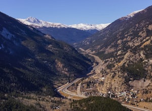
Argentine Railroad Grade
5.05.35 mi / 863 ft gainThe Argentine Central Railroad Grade trail is just what it says: it follows the old rail bed of the Argentine Central line. All railway remnants have long since been removed, and in its place is a wide, well-defined trail with an easy grade. With just a 900-foot incline over the course of about t...Read more -
Dillon, Colorado
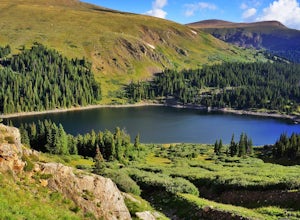
Silver Dollar Lake Trail
5.03.93 mi / 945 ft gainGuanella Pass, which connects the charming and historic town of Georgetown in the north to the blink-and-you’ll-miss-it Grant to the south, is a recreational outdoorsman’s dream. Volumes could be written on what this 22-mile scenic byway has to offer. Silver Dollar Lake Trail is just one tiny po...Read more -
Buena Vista, Colorado
Hike Missouri Mountain
5.010.5 mi / 4500 ft gainGetting there: The trail begins at Missouri Gulch TH. If you are a car camper or are trying to snag a sunrise summit, there are many many drive off sites in trees and near water before and after the trailhead. The road to get to the trailhead is not paved, but is well maintained - a super high cl...Read more -
Dillon, Colorado
Hike the 7:30 Mine Road in Silver Plume
4.05 mi / 1200 ft gainWith a name like 7:30 Mine Road, this is one hike I had to investigate to see if it lives up to its name. Even though this is an easier hike than I normally choose, what it lacks in challenging terrain, it makes up for in historic interest. The view isn’t too bad, either.7:30 Mine Road is about t...Read more -
Jefferson, Colorado
Colorado Trail: Kenosha Pass to FR 130
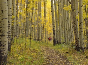
4.66.81 mi / 938 ft gainThe Colorado Trail (http://www.coloradotrail.org) is 500 miles long and stretches from Denver to Durango. Perhaps the most-traveled portion of the Colorado Trail is at Kenosha Pass. Kenosha Pass is well-known for its thick, colorful stands of aspen in the fall. During peak leaf season (late Septe...Read more -
Carbondale, Colorado
Hike to Frigid Air Pass
8.5 mi / 1400 ft gainAbout 15 miles away from the ski resort town of Crested Butte lies the West Maroon Pass trailhead. This trailhead sees thousands of visitors every year as they make their trek over West Maroon Pass down into Aspen. While West Maroon Pass is beautiful, the heavy summer traffic can detract from the...Read more

