Eagle County, Colorado
Top Spots in and near Eagle County
-
Aspen, Colorado
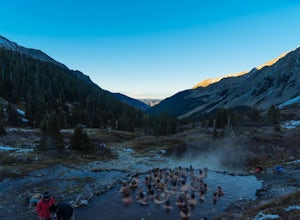
Conundrum Hot Springs via Conundrum Creek
4.316.77 mi / 2717 ft gainAfter picking up your required overnight permit, start your morning with a coffee in Aspen, then drive out 15 min to the trailhead at the end of Conundrum Creek road. The trail is a straight shot 9 miles up the valley, through expansive meadows and an always incredible view of the mountains and ...Read more -
Nederland, Colorado
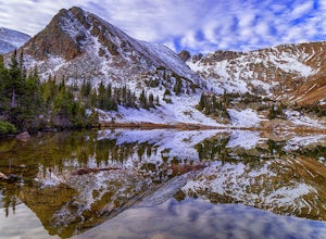
Heart and Rogers Peak Lakes
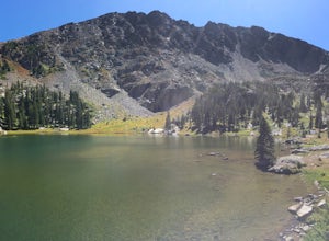
4.88.62 mi / 2113 ft gainThe hike begins at the East Portal Trailhead outside Rollinsville. Start hiking along the South Boulder trail to the right (north) of the very obvious Moffat Rail tunnel. The trail begins with moderate grades past the Forest Lakes cutoff just 1.25 miles from the trailhead. Continue hiking straigh...Read more -
Buena Vista, Colorado
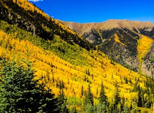
Mt. Belford and Mt. Oxford
4.510.34 mi / 5856 ft gainYou'll being your ascent at the Missouri Gulch Trailhead, which is located a few miles up Chaffee County Road 390, at around 9,600 feet. The trail is very clear and very well maintained, but is steeper than most trails (even quite a few of the 14er trails I've done) right from the get-go. Remembe...Read more -
Buena Vista, Colorado
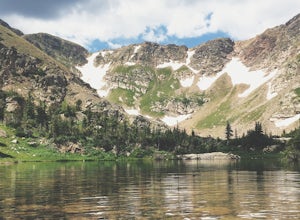
Hike Missouri Mountain
5.010.5 mi / 4500 ft gainGetting there: The trail begins at Missouri Gulch TH. If you are a car camper or are trying to snag a sunrise summit, there are many many drive off sites in trees and near water before and after the trailhead. The road to get to the trailhead is not paved, but is well maintained - a super high cl...Read more -
Nederland, Colorado
3 Crater Lakes via South Boulder Creek
5.06.92 mi / 1804 ft gainAfter turning on to Co. 16 (Tolland Rd.) from 119 at Rollinsville, drive about 8 miles down the dirt road along South Boulder Creek. The road will dead end at Moffat Tunnel where you'll find ample parking in a gravel lot with restrooms. You'll begin your hike along sweeping meadows until you ent...Read more -
Nederland, Colorado
Upper Forest Lakes Trail
7.86 mi / 1778 ft gainUpper Forest Lakes Trail is an out-and-back trail that takes you by a river located near Rollinsville, Colorado.Read more -
Aspen, Colorado
Camp at Silver Queen Campground
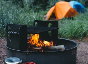
To start it off, head out from Aspen on Maroon Creek Road. Once you get to the park, you will either have to pay the charge at the booth or if you get there after 5pm, you can self pay at the cash box, which is $10. You'll also want to get an overnight parking pass set up which doesn't cost extra...Read more -
Granby, Colorado
Ice Fish on Lake Granby
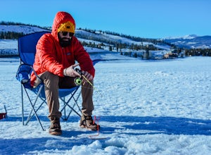
Looking to catch some fresh trout? This might be the place to get it! If it's your first time fishing Lake Granby, here's some pointers:Those of you coming from Denver, take US 40W past Winter Park, Fraser and Tabernash until you hit Granby. After you pass through the town of Granby, turn right o...Read more -
Nederland, Colorado
Hike to Columbine Lake
5.07 mi / 1200 ft gainThe hike is about seven miles, give or take, however it feels longer. The elevation gain is little over 1000 feet. The drive here is about 45 minutes from both Granby and Winter Park, and is definitely worth it. You follow a trail dusted with wildflowers for the majority of the hike, and occasio...Read more -
Nederland, Colorado
Explore the Historic Railroad Route up Rollins Pass
5.0Rollin's Pass Road is a dirt road that follows an old railroad route from the historic town of Tolland, over the Continental Divide, and into Fraser. The road no longer allows you to drive over the summit, due to a partial tunnel collapse, but the road still takes you to within a short hike of th...Read more -
Buena Vista, Colorado
Summit Mount Huron
6 mi / 3500 ft gainThere are some dispersed campsites along side the 4x4 road that leads to the trailhead. Ideally you can sleep here to get an early start to your hike in the morning, to avoid the afternoon storms that frequent the mountains. The 4x4 is rough in spots, though my Subaru Outback did make the trek un...Read more -
Grand Lake, Colorado
Doe Creek Trail
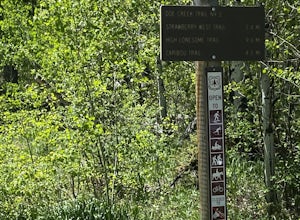
7.13 mi / 1617 ft gainDoe Creek Trail is a loop trail that takes you by a lake located near Granby, Colorado.Read more -
Basalt, Colorado
Hike Hay Park
Head south out of Carbondale on Highway 133. Two miles from the Main Street roundabout, take a left on Prince Creek Road. Follow this road up to Dinkle Divide and follow the signs to Dinkle Lake. Continue up the road until you see a large, fenced in parking area with a toilet on the left. This is...Read more -
Basalt, Colorado
Camp at Thomas Lake and Summit Mt. Sopris
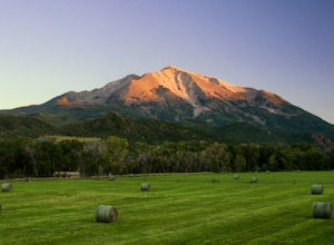
5.013 mi / 4400 ft gainWith the Elk Mountain range behind it, It appears to be standing by itself, and has the resemblance of a grand volcano.From Hwy 133 out of Carbondale, turn down Prince Creek Road and drive 6 miles to the trailhead. The trail is a nice mixture of meadows and woods, with excellent views of the vall...Read more -
Aspen, Colorado
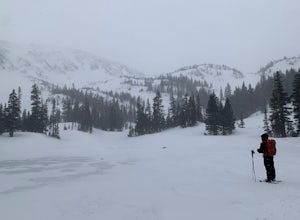
Hike or Snowshoe Castle Creek
6 miAt the round-a-bout that leads into the town of Aspen, take the Castle Creek Road exit. Follow this road for 12 miles until you get to the ghost town of Ashcroft. The road itself is very scenic, so be prepared to pull over and whip out your camera!During winter, the road ends at Ashcroft and a cr...Read more -
Idaho Springs, Colorado
Hike Chief Mountain, CO
4.54 mi / 1100 ft gainSitting at 11,709’, Chief Mountain is not one of Colorado’s highest peaks, but the views from this mountain are spectacular nonetheless and rival the views of any 14er I’ve climbed. This mountain sits along Squaw Pass Road so you get the luxury of a high trailhead for this peak.To get there, foll...Read more

