Dillon, Colorado
Looking for the best camping in Dillon? We've got you covered with the top trails, trips, hiking, backpacking, camping and more around Dillon. The detailed guides, photos, and reviews are all submitted by the Outbound community.
Top Camping Spots in and near Dillon
-
Pine, Colorado
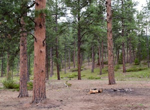
Dispersed Camp at the Buffalo Creek Area in Pike National Forest
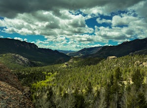
3.850 miles from Denver, nestled in Pike National Forest, there are dozens of free dispersed camping sites. With quick access to the Colorado Trail and Buffalo Creek Mountain Bike Area, these campsites make for a perfect weekend getaway. The campsites begin on Forest Road 550, and are clearly marked...Read more -
Ward, Colorado
Hike the Ceran St. Vrain Trail
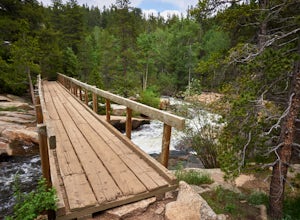
5.04 mi / 1207 ft gainThe Ceran St. Vrain trail north of Jamestown offers the hiker a nice respite from the summer sun as this path runs through dense pine forests. The trail follows the South St. Vrain Creek for most of the way and follows moderate grades throughout. There is no official end to the trail, only that i...Read more -
Aspen, Colorado
Hike Lost Man Loop
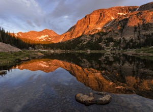
5.08.8 mi / 1290 ft gainThis 8.8 mile "loop" is not a true loop and the trail ends 4 miles apart along Independence Pass, so a car shuttle is recommended. I would recommend starting at the west trailhead (closer to Aspen) but will describe both trailheads so you can set up another car or shuttle at the other one.1) West...Read more -
Buena Vista, Colorado
Hike Missouri Mountain
5.010.5 mi / 4500 ft gainGetting there: The trail begins at Missouri Gulch TH. If you are a car camper or are trying to snag a sunrise summit, there are many many drive off sites in trees and near water before and after the trailhead. The road to get to the trailhead is not paved, but is well maintained - a super high cl...Read more -
Allenspark, Colorado
Hike to Thunder Lake
12 mi / 2275 ft gainStarting at the often-busy Wild Basin TH, the trail passes through dense forests as it follows the North Fork of the Saint Vrain River through the southernmost section of Rocky Mountain National Park. The trail passes alongside the small Copeland Falls before continuing west towards Calypso Casca...Read more -
Allenspark, Colorado
Hike to Pear Lake
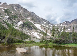
5.013 mi / 2112 ft gainPear lake is a beautiful alpine lake in the southern Wild Basin region of Rocky Mountain National Park. Once used as a reservoir, Pear Lake has been restored to its natural state and lies in scenic basin below some of the most isolated mountains in the park. The trail to Pear Lake passes through ...Read more -
Sedalia, Colorado
Backpack the Lost Creek Loop
33.5 mi / 6200 ft gainLost Creek Wilderness may be my favorite part of Colorado. It contains varied terrain and geography, and is less crowded than most places. This loop will take you through everything the wilderness area has to offer. You will get sweeping panoramas of mountain ranges to the south, as well has m...Read more -
Sedalia, Colorado
Camp at Goose Creek
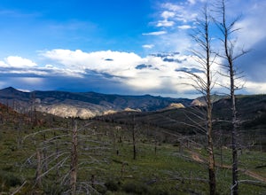
3.08 mi / 1300 ft gainGoose Creek is a fantastic spot to hike or camp. There is a dirt road leading to the trailhead, and it winds through the mountains and offers a great view of the valley. The dirt road is relatively easy and well-maintained. The burn scar from the Hayman fire is still really evident, so there are ...Read more -
Grand Lake, Colorado
Hike to Big Meadows and Granite Falls
5.010.3 miThe Green Mountain Trail is part of the Continental Divide National Scenic Trail (CDT) which is a foot path from Mexico to Canada. Big Meadows is a great place to view elk, moose, and deer. Other animals you can see in the area are abert squirrels, river otters, weasels, and black bear.Big Meadow...Read more -
Allenspark, Colorado
Sandbeach Lake Trail
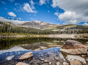
4.08.56 mi / 2057 ft gainSandbeach Lake is best known for (as you can probably guess) its wide sandy shore. At nearly 50 feet deep, it is one of Rocky Mountain National Parks deepest lakes. If you are looking to fish at the lake, make sure to bring barbless flies and lures. There are six official campsites (1.8 miles Hol...Read more -
Buena Vista, Colorado
Hike Davis Meadow
5.08.6 mi / 800 ft gainThis is a great hike that is very close to Buena Vista, CO. This trail is on the east side of town and is accessible in the spring. The hardest part of the hike is locating the trail-head. It is located in the northern part of Four Mile Canyon and is in San Isabel National forest. Starting in Bue...Read more -
Gypsum, Colorado
Camp at Pinball Point
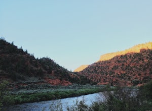
This amazing campsite has river access (freezing cold!), beautiful scenic views of red rocks and rock faces in varying shades of brown and tan. It's the only campsite at this location so feel lucky that this whole area is just yours. Beautiful views of the moon and stars and get ready for the rus...Read more

