Conifer, Colorado
Top Spots in and near Conifer
-
Denver, Colorado
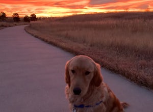
Westerly Creek Trail
2.25 mi / 105 ft gainWesterly Creek Trail is an out-and-back trail that is good for all skill levels located near Denver, Colorado.Read more -
Boulder, Colorado
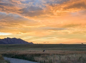
Hike the Flatirons Vista Loop Trail
4.73.3 miFrom the parking lot, take South Flatiron Vista Trail for 2.4 miles, where you'll cross onto North Flatiron Vista Trail. In 1 mile, take the connector trail back to the trailhead. To shorten the loop to 2 miles, hike South Flatiron for just 1 mile to Prairie Vista Trail, which leads back to the c...Read more -
Boulder, Colorado
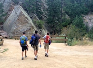
Hike the Rattlesnake Gulch Trail
4.35.3 mi / 1304 ft gainRattlesnake Gulch Trail is located in Eldorado Canyon State Park. It is a short 20 minute drive from Boulder and is one of three hikes in the park. You will need to pay an entrance fee to get inside to the park which costs $8. The trail is approximately 2.8 miles one way and carries a consistent ...Read more -
Boulder, Colorado
Rattlesnake Gulch Trail
3.49 mi / 1093 ft gainRattlesnake Gulch Trail is a loop trail that takes you by a river located near Eldorado Springs, Colorado.Read more -
Boulder, Colorado
Rock Climb Supremacy Rock in Eldorado Canyon
5.0This is a great spot for beginner climbers, as long as you have an experienced climber with you to anchor the top rope and belay you. It is in a beautiful state park, Eldorado Canyon, in Boulder, Colorado. This canyon is famous for rock climbing and attracts climbers from around the country. Many...Read more -
Idaho Springs, Colorado
Chinns Lake Trail
4.02.7 mi / 741 ft gainChinns Lake Trail is an out-and-back trail that takes you by a lake located near Idaho Springs, Colorado.Read more -
Boulder, Colorado
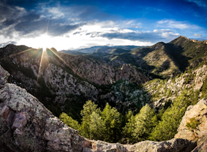
Hike the Eldorado Canyon Trail
4.56.3 mi / 1875 ft gainEldorado Canyon Trail makes for a great day hike, with great views and a steady, challenging uphill – bring lots of water!For something shorter, try Streamside Trail (1 mile roundtrip), Fowler Trail (1.4 miles), or Rattlesnake Gulch (2.8 miles). Streamside, appropriately, leads you alongside a cr...Read more -
Boulder, Colorado
Doudy Draw Trail
4.37 mi / 433 ft gainDoudy Draw Trail is an out-and-back trail where you may see beautiful wildflowers located near Boulder, Colorado.Read more -
Boulder, Colorado
Hike Bear Peak
4.87 mi / 2810 ft gainThe best advice I can give you? Wake up early to start this hike.Even though the Bear Peak hike will only take you about 4-5 hours round trip, it will still be advantageous to get off the mountain before afternoon and evening storms might pass through. This is a steep 7-mile out and back trail.St...Read more -
Boulder, Colorado
Hike South Boulder Peak
4.56.7 mi / 2900 ft gainStarting at the Mesa trailhead, continue a half a mile through a relatively even grade before arriving at the North Fork Shanahan trailhead, which will take you another half a mile on much steeper grade up to Fern Canyon where you will start a much harder portion of the hike; here, you'll head st...Read more -
Boulder, Colorado
Hike the Big Bluestem Trail Loop
4.04.35 mi / 841 ft gainThis is a great spot for an easy/moderate hike or trail run. The trail is accessible year round and can often be hiked in winter as well as other seasons. You start out at the Mesa Trailhead parking lot off of Hwy 170. There is a parking lot here but this is a starting spot for several hikes into...Read more -
Idaho Springs, Colorado
Camp at Chinns Lake
Take the road as if you are going to St. Mary's Glacier, but you will take a left off the road (next to a very nice house) before the road makes a sharp right turn to go up hill. The road is a smooth dirt road for about a mile, but gets very rocky after that and you will need a good off road vehi...Read more -
Dillon, Colorado
Bakerville Scenic Snowshoe/XC Ski Trek
4.0In summer, Stevens Gulch Road, the access point to Grays Peak and Torreys Peak, is typically packed with adventurers intent on summiting a 14er or two. Once the snow comes, this unmaintained road becomes impassible, and the once busy lane transforms into a silent and pristine haven for snowshoers...Read more -
Idaho Springs, Colorado
Explore Fall River Reservoir
4.01 mi / 144 ft gainThis spot may be a little more difficult to reach than others, but the payoff is worth it. You'll start by taking a dirt road that splits off from Fall River Road. It is pretty easy going for the first mile or so, but then you'll want to make sure you have a little higher clearance 4x4 vehicle to...Read more -
Dillon, Colorado
Sunset Views from Morgan Peak
8.42 mi / 2900 ft gainHow you get to Morgan Peak and the other 13ers in the area depends on if you have a 4-wheel drive with good clearance or not. If so, drive the rough Santa Fe road from the small town of Montezuma (just outside Keystone). The road is also known as Forest Service 264 and is a left at the stop sign ...Read more -
Idaho Springs, Colorado
Camp and Fish at Loch Lomond
5.0The trail to Loch Lomond is very rocky. I suggest a high clearance 4x4 vehicle (I did see a small SUV and a Subaru..Not sure how they did it!!!). There are a few campsites at the lake and several along the way. I set up camp by the lake but had to move because the wind was so intense. I recommend...Read more

