Colorado
Looking for the best chillin in Colorado? We've got you covered with the top trails, trips, hiking, backpacking, camping and more around Colorado. The detailed guides, photos, and reviews are all submitted by the Outbound community.
Top Chillin Spots in and near Colorado
-
Aguilar, Colorado
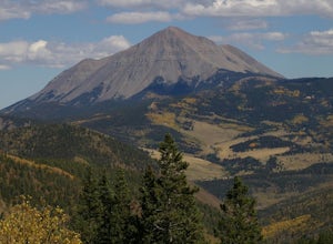
Hike West Spanish Peak
5.07.2 mi / 2.38 ft gainThe West Spanish Peak is best reached by way of CO Hwy 12, which connects south and west through the town of La Veta, Colorado. From Denver travel I-25 south to Walsenburg (about 3.5 hours). At Walsenburg take US 160 to CO 12 southwest through the towns of La Veta and Cuchara.Cordova Pass Trailhe...Read more -
Bellvue, Colorado
Hike to Comanche Lake in Pingree Park
3.58 mi / 700 ft gainYou start out hiking through the average Colorado forest for the first 4 miles of the 7-8 mile trip at about 6,500 feet. The trail is largely downhill for the first couple miles until it levels out and you are headed North. A little more than halfway, you come to Comanche Reservoir and hike up al...Read more -
Silverton, Colorado
Explore Hurricane Pass and Lake Como
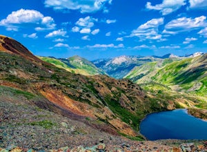
Spending much of the trek above tree line, Hurricane Pass is situated at 12,730 feet above sea level and offers up views of Poughkeepsie Gulch (a more extreme off-road trail) and sapphire blue mountain lakes, such as Lake Como. One of the most beautiful roads in the lower 48 states, Hurricane Pas...Read more -
Granby, Colorado
Ice Fish on Lake Granby
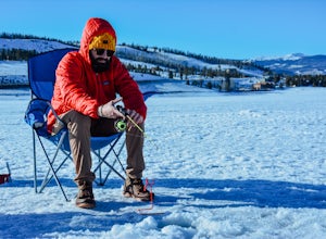
Looking to catch some fresh trout? This might be the place to get it! If it's your first time fishing Lake Granby, here's some pointers:Those of you coming from Denver, take US 40W past Winter Park, Fraser and Tabernash until you hit Granby. After you pass through the town of Granby, turn right o...Read more -
Mesa Verde National Park, Colorado
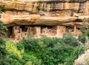
Hike the Spruce Canyon Trail
5.03.1 mi / 754 ft gainThe Spruce Canyon trail is very well taken care of. The trail begin with a descent into Spruce Tree Canyon and then follows a stream for 3/4 of a mile before climbing a side canyon back up to the ridge. The trailhead is located on the Chapin Mesa within Mesa Verde National Park. The trail is open...Read more -
Turquoise Lake, Colorado
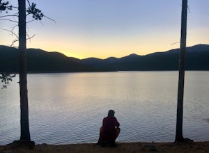
Escape to Turquoise Lake
5.0Turquoise Lake is an 'off the beaten path' gem only 3 hours from the Denver Metro Area. The area surrounding the lake is home to some spacious and tree-shaded campgrounds. If you plan ahead and book early, you'll have your pick of the best spots within close proximity to the lake. The campground ...Read more -
Manitou Springs, Colorado
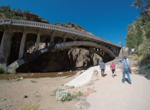
Walk to Rainbow Falls
0.5 miThis waterfall was designated a historic site in 2016 due to its rich history dating back to the Native Americans and more recently the locals of Manitou Springs. The bridge itself that crosses over the falls was created in the early 20th century and was an architectural marvel during the time. ...Read more -
Silverton, Colorado
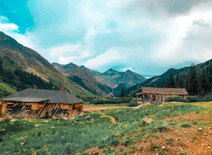
Explore Animas Forks
5.00.25 mi / 40 ft gainThe ghost town of Animas Forks, CO is located in the San Juan Mountains at an elevation of 11,200 feet. There are several original buildings remaining. The best way to explore the region is by Jeep or other high-clearance 4×4. The cabins began being built by prospectors in 1873. Three rivers meet...Read more -
Ouray, Colorado
Lower Cascade Falls
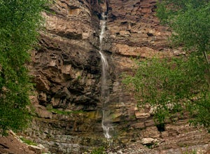
3.00.5 miLocated within the picturesque town of Ouray, Colorado, Cascade Falls is what most city parks strive to be. This park and amazing waterfall are located on the edge of town along the longer 5+ mile Perimeter Trail and provides a place for picnics, relaxing, and further days hikes through connector...Read more -
Nederland, Colorado
Hike Rollins Pass to Devils Thumb
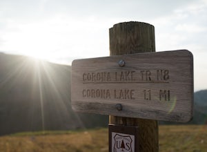
2.1 mi / 622 ft gainCorona Lake is an easy, short hike if you're pressed for time. It's scenic, secluded, and will put you in a great spot to hike to Devils Thumb the next day. There are two ways to reach Devils Thumb. This is considered the "easier" route because of the "lack of elevation gain." The sun and wind re...Read more -
Cañon City, Colorado
Drive Skyline Drive
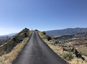
5.0Skyline drive is a one way scenic roadway mainly going north to south. The 3 mile drive takes you about 800 feet above Cañon City. It starts on the west side of 50, and ends in a residential neighborhood southwest of where it begins. There are multiple pull offs on the right and left side of the...Read more -
Florissant, Colorado
See the Stars at Florrisant Fossil Beds
While Florrisant is known mostly for its history and collection of fossils, it is also one of the darkest places in the Colorado Springs area. While the park closes daily at dusk, it has Night Sky Programs monthly which allows visitors to view the stars with the help of the Colorado Springs Astr...Read more -
Pueblo, Colorado
Catch Sunset on the North Shore Pueblo Reservoir
1.0The sunset is great all around the park, but if you're looking for a bit of an adventure and one of my favorite unknown spots follow along below: Entering the North entrance of the park turn right onto the gravel road right before entering the park gates. Continue down the gravel road through the...Read more -
Colorado Springs, Colorado
Hike, Climb, or Bike Red Rock Open Space
2.03 mi / 300 ft gainRed Rock Canyon Open Space was made public in the early 00's after years of use as a quarry and landfill. Some of the stone quarried from the area have even been used in some of the downtown buildings. Getting there is straightforward, heading West on 24 there is an obvious turn off left between ...Read more -
Cañon City, Colorado
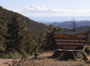
Shelf Road
5.0Shelf Road, which was once a toll road from Cripple Creek to Canon City, is now a maintained dirt road that most high clearance two wheel drive cars can make. It will take over an hour to travel the 25 miles or so, and it can be completed going from north to south or the opposite. I will explai...Read more -
Estes Park, Colorado
Photograph Elk in Moraine Park
The perspective here is vastly different from other areas in Rocky Mountain National Park as Moraine Park is essentially a large, very flat valley surrounded by tall mountains. You'll want to come during the elks' rutting season, which is between mid-September and mid-October. Park at the lot on ...Read more

