Black Canyon of the Gunnison National Park, Colorado
Looking for the best hiking in Black Canyon of the Gunnison National Park? We've got you covered with the top trails, trips, hiking, backpacking, camping and more around Black Canyon of the Gunnison National Park. The detailed guides, photos, and reviews are all submitted by the Outbound community.
Top Hiking Spots in and near Black Canyon of the Gunnison National Park
-
Carbondale, Colorado
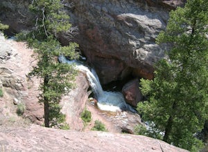
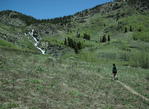
Explore Hayes Creek Falls
3.50 miRight off of Highway 133 about 2 miles south of Redstone, lies a very easy-to-get-to Waterfall. Park your car off to the side of the highway, walk about 100 feet and you will find this glorious waterfall. The fall is best to see in the late Spring to early Summer. From late Spring, to early Summe...Read more -
Carbondale, Colorado
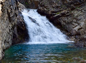
Hike and Swim at Devil's Punchbowl
2.5 miDrive north of Crested Butte to Schofield Pass until you come to the sticker-covered sign. Unless you have an ATV, park the car and descend along the infamous and deadly Schofield Pass Road. Follow this road past the first waterfall, which is about 500 feet from the initial sign. You will continu...Read more -
Carbondale, Colorado
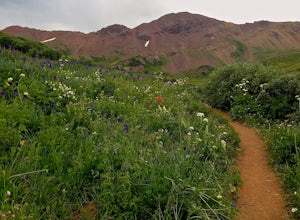
Hike to Frigid Air Pass
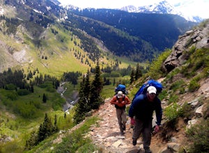
8.5 mi / 1400 ft gainAbout 15 miles away from the ski resort town of Crested Butte lies the West Maroon Pass trailhead. This trailhead sees thousands of visitors every year as they make their trek over West Maroon Pass down into Aspen. While West Maroon Pass is beautiful, the heavy summer traffic can detract from the...Read more -
Carbondale, Colorado
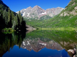
Climb South Maroon Peak
5.011.5 mi / 4800 ft gainStarting at the Maroon Lake Trailhead, walk on the trail past the lake and turn onto the trail heading towards Crater Lake. Hike approximately 1.75 miles to reach another signed trail junction, then turn left and continue on the West Maroon Creek trail to Crater Lake. Eventually you will reach a ...Read more -
Crested Butte, Colorado
Hike to Judd Falls
3.02.5 mi / 220 ft gainStarting at 9600 feet, just outside the small town of Gothic is the trail head for Judd Falls. The parking lot is on the side of the road and getting to this area is completely possible with a passenger car. The trailhead includes bathrooms and is particularly uncrowded on weekdays and in the lat...Read more -
Crested Butte, Colorado
Conundrum Hot Springs via Copper Creek
22.5 mi / 4000 ft gainPlease Note: Conundrum Springs camping requires an overnight permit. You must get a permit in order to camp at the springs. If you're looking for an incredibly challenging hike, Copper Creek to Triangle Pass to Conundrum Springs is the hike for you! When you plug in "Conundrum Springs" into you...Read more -
Crested Butte, Colorado
The Copper Creek Trail to Copper Lake
5.011.53 mi / 2264 ft gainThe Copper Creek Trail to Copper Lake is an out-and-back trail that takes you by a waterfall located near Crested Butte, Colorado.Read more -
Crested Butte, Colorado
Hike Rustler's Gulch
5.09 mi / 1748 ft gainFrom Crested Butte, continue 6 miles past the town of Gothic to Rustler's Gulch Road. Turn right on the road, cross the East River to get to a small parking area near the river. If you don't have 4WD, park here and hike another 1/2 mile to the trailhead. It's a pretty steep hike. If you do have 4...Read more -
Carbondale, Colorado
Hike to Geneva Lake
5.03 mi / 1256 ft gainThis is an intermediate hike with scenic views, even before reaching the lake and waterfall. Note that access to the trailhead does require 4WD, as the final section of road is difficult and steep in sections.Read more -
Carbondale, Colorado
Backpack the Lead King Basin Trail
4.5 mi / 2000 ft gainWe began our hike at the beginning of the afternoon after about two-three hours driving up the 14 mile road. The first mile of the trail was mild, turning into an uphill adventure. Lots of switchbacks, winding paths, and some tree coverage. By mile 2, we were on a steep grade the rest of the way....Read more -
San Miguel County, Colorado
Mystic Falls
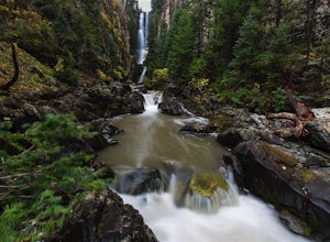
4.22.39 mi / 138 ft gainI've been visiting Telluride, CO for the last 20 years, and I'd never once heard of this place. Mystic Falls is not marked on any map I've ever seen. And even some locals seem to have never heard of it. So I feel like I lucked out on this last trip to Telluride when a friend found a blog post and...Read more -
Ophir, Colorado
Drive Ophir Pass
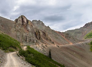
4.58 mi / 2500 ft gainOphir Pass (el. 11,114’), officially known as Forest Service Road #630, is one of the easiest of the high alpine trails in the San Juan mountains, but still can provide trouble to the inexperienced or when bad weather is present, particularly on the western/Ophir downhill side. The pass and road ...Read more

