Aurora, Colorado
Looking for the best hiking in Aurora? We've got you covered with the top trails, trips, hiking, backpacking, camping and more around Aurora. The detailed guides, photos, and reviews are all submitted by the Outbound community.
Top Hiking Spots in and near Aurora
-
Idaho Springs, Colorado
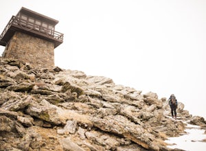
Squaw Mountain Fire Lookout
4.03.92 mi / 791 ft gainCome check out the Squaw Mountain Fire Lookout, a historic spot located in the Mount Evans Wilderness Area of Colorado, and one of the highest lookout towers in the country, at an elevation of 11,486 ft. Just a short drive from the Front Range corridor, you can hike/backpack in to this lookout ar...Read more -
Idaho Springs, Colorado
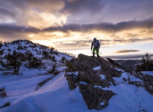
Hike Chief Mountain, CO
4.54 mi / 1100 ft gainSitting at 11,709’, Chief Mountain is not one of Colorado’s highest peaks, but the views from this mountain are spectacular nonetheless and rival the views of any 14er I’ve climbed. This mountain sits along Squaw Pass Road so you get the luxury of a high trailhead for this peak.To get there, foll...Read more -
Nederland, Colorado
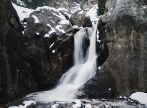
Explore Boulder Falls, CO
4.20.1 miWhile the narrow trail is often popular, it's only 100 yards to see this 70-ft tall waterfall, set against a beautiful canyon backdrop. Keep in mind there's no climbing allowed on or around the falls. It is also a good idea to check if the trail is closed for maintenance, ahead of time.Read more -
Longmont, Colorado
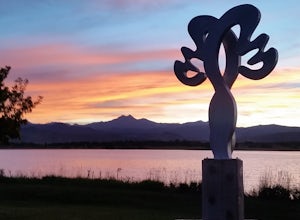
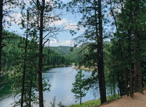
McIntosh Lake Loop
4.53.6 mi / 72 ft gainMcIntosh Lake is in northwest Longmont. The 3.6-mile loop extends all the way around the lake, with the first half being on a paved cement trail with neighborhood playgrounds, basketball, volleyball, and a seasonally open restroom. The trail turns to dirt on the western half of the loop, and here...Read more -
Pine, Colorado
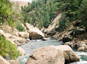
Fish Cheeseman Canyon
5.0Cheesman Canyon is considered one of the top fisheries in the world, and this stretch of the South Platte River is easily accessed at the Cheesman trailhead off CR 126 just Southwest of Deckers. There are tons of great fishing opportunities along this stretch of the river, but it does tend to ge...Read more -
Boulder, Colorado
Catch the Sunrise on Sugarloaf
4.51 mi / 400 ft gainTo get there from downtown Boulder, head west on CO 119 and almost 4.5 miles after you have left Boulder, turn right onto Sugarloaf Road. 4 miles after the turn from CO 119, turn right onto Sugarloaf Mountain road (located at the top of the road). If the road starts descending, you've gone too fa...Read more -
Palmer Lake, Colorado
Palmer Lake Reservoir Trail
4.11 mi / 656 ft gainThis hike starts with a steep uphill, and if that doesn't take your breath away, the views of the lakes definitely will. After the uphill slog, you'll immediately reach the lower reservoir. On still mornings, it offers perfect reflections of its surroundings. The trail continues along its northe...Read more -
Nederland, Colorado
Drive the Peak to Peak Highway
4.555 mi / 705 ft gainThe Peak to Peak Highway is a 55-mile stretch of road that winds its way from Nederland to Estes Park (or Estes Park to Nederland). This road connects to many points of exploration, Indian Peaks Wilderness Area and Rocky Mountain National Park to name a couple, but the drive itself is an adventur...Read more -
Evergreen, Colorado
Hike the Resthouse/Lincoln Lake Trail
4.5While the Mt. Evans Wilderness never has a shortage of visitors, thanks to its proximity to Denver, it is possible to find a more private hike if you know where to look. Lincoln Lake Trail, accessible from Echo Lake year-round, is not as glamorous as its sister trail, Chicago Lakes, but is a wond...Read more -
Bailey, Colorado
Payne Creek Trail via Brookside McCurdy Trailhead
4.517.98 mi / 3773 ft gainDay 1: Park at the Payne Creek/Brookside Trailhead (8,040 ft.) right outside Bailey. You'll go on the trail for about a mile before the trail parts to Craig Meadows or Craig Park. If you start this in the nighttime, it's best to camp before you part ways on the trail as it's a little more spaciou...Read more -
Monument, Colorado
Mt. Herman & 715 Loop
4.06.16 mi / 1877 ft gainThe Basics: Mt. Herman is the most prominent peak overlooking Monument, CO and is easily spotted from I-25. The area between Monument and the mountain hosts a large network of meandering trails that are great for trail running and mountain biking. Our hike today starts at the uppermost parking lo...Read more -
Idaho Springs, Colorado
Explore Echo Lake Park
4.01.2 mi / 88 ft gainLocated at the base of Mt. Evans Road, Echo Lake sits next to Squaw Pass Road, providing a great jumping-off point for numerous adventures. The park serves as a trailhead for hiking or snowshoeing into the Mount Evans Wilderness, offers picnic areas, and includes a nearby campground with 17 site...Read more -
Idaho Springs, Colorado
Hike to Idaho Springs Reservoir
3.9 mi / 800 ft gainThis is a great hiking area an hour outside of Denver, Colorado. It's still easily accessible in the winter and most of the time it can be hiked without snowshoes. Starting at the Echo Lake parking lot, hike around the right side of the lake until you reach a fork in the trail. Follow the path on...Read more -
Idaho Springs, Colorado
Lower and Upper Chicago Lake
4.59.22 mi / 2270 ft gainFrom the parking lot, stay to the right of Echo Lake and you will run into the Chicago Lakes Trailhead. Follow the switchbacks down and across Chicago Creek. After crossing the creek, follow the sign indicating that the trail follows the dirt road and hang a left; from here, you'll reach the Idah...Read more -
Nederland, Colorado
Snowshoe or Cross-Country Ski at Caribou Ranch
4.54.2 mi / 750 ft gainThe Caribou Ranch Open Space is about two miles north of the town of Nederland. From Nederland, at the town’s roundabout, head west on CO 72 for about two miles. Turn left onto CO 126 at the sign for Caribou Ranch Open Space. Follow the dirt road for about .8 miles until you see the large parking...Read more -
Longmont, Colorado
Hike or Trail Run on Rabbit Mountain, CO
4.03.95 mi / 472 ft gainThis is a great hike/trail run in Boulder County. It is located between Longmont and Lyons and is part of Boulder County Open Space. Rabbit Mountain has over 5 miles of trails and 2,733 acres of beautiful open space. The views are incredible as most of your hike you are looking out at the entire ...Read more

