Aspen, Colorado
Looking for the best hiking in Aspen? We've got you covered with the top trails, trips, hiking, backpacking, camping and more around Aspen. The detailed guides, photos, and reviews are all submitted by the Outbound community.
Top Hiking Spots in and near Aspen
-
Minturn, Colorado
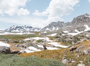
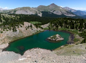
Hike to Tuhare Lakes
12 mi / 3000 ft gainOverview: About a 12 mile hike, with 3 alpine lakes, a significant climb and views worthwhile Photos: See all photos here. Getting There: The hike is accessed from the Half Moon pass parking lot - from the Fall Creek trailhead. The parking lot and trailhead are accessed at the end of Tigiwon Rd. ...Read more -
Minturn, Colorado
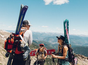
Ski Notch Mountain
10 mi / 3000 ft gainWhat's not to love - you'll be skiing in the off season! We did this hike/ski in late June, our skis, boots, and avi gear packed with our hiking shoes on our feet. May could potentially be the most opportune time for this adventure. The hike you will take is the traditional Notch Mountain Hike. T...Read more -
Gypsum, Colorado
Explore Hardscrabble Mountain
Depending where you choose to access the Hardscrabble area from, this can be a fairly easy day hike or an overnight camping trip. If looking for a shorter day hike, access the Hardscrabble area by way of Hardscrabble Mountain Rd. From the town of Eagle, head South on Sylvan Lake Rd. In 5 miles, t...Read more -
Somerset, Colorado
Hike the Three Lakes Trail
5.04.5 mi / 580 ft gainThe Three Lakes trail near Crested Butte is a great loop if you're looking to hit up a couple mountain lakes. At 4.5 miles with moderate incline, this trail can easily be knocked out in under 2 hours. It also is a great hike to admire fall colors as you'll get great views of the Ruby Range and th...Read more -
Gunnison County, Colorado
Hike to Lost Lake
4.22.4 mi / 600 ft gainThis Trail starts at about 11,200 feet right before the top of cottonwood pass. The trailhead starts at the LAST pull-off before you reach the top of the pass, so if you reach the top, you've gone too far. The hike isn't a super difficult one, but you will go through numerous streams and flooded ...Read more -
Glenwood Springs, Colorado
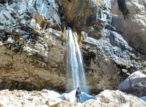
Spouting Rock via Hanging Lakes Trail
4.42.85 mi / 1529 ft gainTo get to Spouting Rock you need to take the same trailhead as Hanging Lake. I made the hike in the offseason when there was still ice on the trail and using crampons were imperative. The hike to Hanging Lake is rather steep and while it's only about 1.2 miles long it takes about an hour. Once yo...Read more -
Glenwood Springs, Colorado
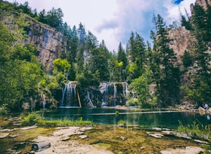
Hanging Lake
4.73.06 mi / 1168 ft gainHanging Lake is a beautifully unique natural wonder. Surrounded by dramatic, pine tree lined cliffs, a unique community of hanging plants thrive beside waterfalls cascading in to this glimmering turquoise pool of water. If this isn’t enough to entice you- the trail leading up to the lake is rathe...Read more -
Buena Vista, Colorado
Backpacking to Kroenke Lake
9 mi / 2750 ft gainStarting at the North Cottonwood trailhead just outside of Buena Vista, Colorado. This hike will take you 4.5 miles to the lake with about 2750 feet of elevation gain. The hike is mostly mellow and you'll likely see hikers heading up to Horn Fork basin to hike Mt. Harvard and Columbia. Campsites ...Read more -
Glenwood Springs, Colorado
Hike the Grizzly Creek Trail
5.07.9 mi / 1900 ft gainTake exit 121 off Interstate 70 (a rest stop exit), and follow signs to a secondary parking lot near Grizzly Creek. This is a great addition to the nearby Hanging Lake & Spouting Rock hikes just 4 miles East on I-70. Because these two are so popular, Grizzly Creek is a great, not very well kn...Read more -
Fairplay, Colorado
Hike Mount Sherman
4.210.5 mi / 2100 ft gainA mile South of Fairplay, turn West onto 4 Mile Creek Road (dirt) and follow it for about 8 miles. The road passes a number of excellent camping spots and finally ends at the ruins of an old mine. Parking is available about a quarter mile from the mining area. Don't park at the gate as its possib...Read more -
Fairplay, Colorado
Climb Horseshoe Mountain via Boudoir Couloir
7 mi / 2500 ft gainHorseshoe Mountain is a peak that is ranked in the top 100 tallest peaks in Colorado at 13,898 feet, and it can be done in the summer but is arguably more fun in the spring as a snow climb. Avalanche safety, snow climbing, and snow safety experience is necessary. To get to the trailhead, follo...Read more -
Buena Vista, Colorado
Ptarmigan Lake near Buena Vista
5.06.01 mi / 1608 ft gainWhen you begin the trail, make sure to choose the correct trailhead from the parking lot (located on the south side of the lot to the left, NOT behind the bathroom). From there, begin a moderate climb through a shaded fir forest to the tree line. Emerge in a meadow at a pond and the lower lake, ...Read more -
Leadville, Colorado
Backcountry Ski at Fremont Pass
Starting at 11,319 feet of elevation, you can choose which direction to head into the backcountry. Park at the pull-off area at the bend in the road. From here, you can head into the woods to the right (there are usually tracks from other skiers to follow) or follow Trail Rd. to reach some peaks ...Read more -
Buena Vista, Colorado
Summit Mt. Yale
5.08.48 mi / 4232 ft gainThis amazing adventure starts at 9,900 feet and goes up 4,300 feet over the course of an 8.5-mile round trip. You will want to start at the Denny Creek Trailhead. If you are coming from Buena Vista or staying at the Collegiate Peaks Campground you will pass Denny Gulch and then Denny Creek. The ...Read more -
Buena Vista, Colorado
Hike Mt. Harvard
14 mi / 4600 ft gainStart your hike at the North Cottonwood Creek Trailhead. The trail begins at the end of the parking lot. You'll cross a bridge and meander along the creek, eventually reaching another bridge crossing at about 1.5 miles.After this bridge, you'll reach a trail junction. Be sure to go right (towards...Read more -
Leadville, Colorado
Decalibron Loop (CLOSED)
4.87.5 mi / 3000 ft gainNOTE: As of March 2023, access to parts of this loop that are on private property (including Mt. Democrat & Mt. Lincoln) are closed to the public indefinitely. (Source) Start your hike at the Kite Lake trailhead, where you can find overnight camping for a small fee, or park a bit down the ro...Read more

