California
California offers a diverse range of outdoor activities. The state boasts pristine coastlines, granite mountains, and expansive redwood forests. Travelers can explore the Alamere Falls, which empties directly into the Pacific Ocean, or visit McWay Falls in Big Sur, a prominent waterfall visible from Highway 1. For those interested in hiking, the Sunrise Lakes to Clouds Rest trail is a notable choice, while the Lands End Trail in San Francisco provides a scenic coastal walk. Whether you're looking to hike, camp, or simply enjoy the outdoors, California has something for everyone.
Top Spots in and near California
-
YOSEMITE NATIONAL PARK, California
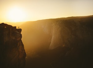
Taft Point
4.92.35 mi / 200 ft gainTaft Point is such an amazing and different view of the Yosemite Valley. If you're lucky and you time it right, you'll also experience complete solitude. While driving Glacier Point Road, just a few minutes before arriving at Glacier Point, you'll see a parking lot for the Taft Point Trailhead. ...Read more -
Solana Beach, California
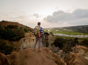
Annie’s Canyon Trailhead
4.72 mi / 100 ft gainIf you're looking for a super short hike, this 10 minute flat walk couldn't be more ideal. Start at 840 N Rios Avenue, Solana beach and walk east towards the FWY 5 where you will see Annie’s Canyon on your right. There is only one way to go up the canyons and it gets pretty tight in places, but y...Read more -
Malibu, California
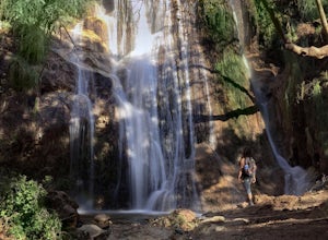
Escondido Falls Trail
4.33.74 mi / 699 ft gainThis 3.8 mile out-and-back hike takes place on a very easy to use trail. The first 0.75 miles on Winding Way are paved, leading you up to Escondido Canyon Trail. As you head up Winding Way, it’s safest to stay on the side of the road on the dirt. You’ll take this paved road up roughly 200 feet be...Read more -
Rancho Palos Verdes, California
Terranea Beach Sea Cave
4.31.63 mi / 210 ft gainHead to the Pelican Cove parking lot where there’s plenty of free parking right at the trailhead. From the parking lot, take the Terranea Beach Trail and you will see views of the Point Vicente Lighthouse down the coast to your right. Continue on the trail through the luxury Terranea Resort whic...Read more -
Mono County, California
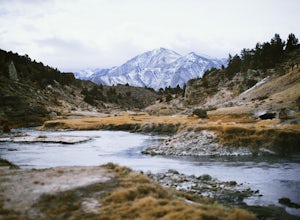
Hot Creek Geological Site
4.8Hot Creek Geological Site is a must see when you are in the Mammoth Lakes area. It is just West of Highway 395 and only minutes form the town of Mammoth Lakes, which has great food, a ski resort, world class mountain biking, and a brewery. Bishop is about 40 minutes South which is well known for ...Read more -
San Francisco, California
Bernal Heights Park
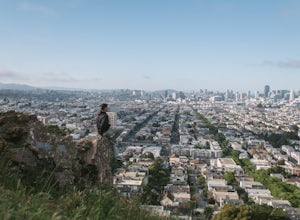
4.70.95 mi / 128 ft gainBernal Heights Park is an excellent week night adventure for those who need an escape from the city. Sit atop this small, grassy peak in peace and look out over the San Francisco skyline. Park on the street bordering the park and follow a pathway that leads up to the top. You will be instantly g...Read more -
San Francisco, California
Mount Sutro Open Space Reserve Loop
4.42.14 mi / 617 ft gainThe Mount Sutro Open Space hike is one of those gems that's just hiding in plain site. Most people live in San Francisco for years without ever knowing this hike even exists - which is totally fine with us. This 2+ mile loop is an easy, quick way to get back in touch with nature after a long day....Read more -
Saratoga, California
Skyline-to-the-Sea Trail
4.530.8 miWant to experience one of the bay area's most memorable backpacking trips? We've got the details to get you out on the trail. To start the trek, drop your car at the Castle Rock State Park Parking Lot, which is located ~2.5 miles south of the junctions of Highways 35 and 9 off of Highway 35. Not...Read more -
Felton, California
Hike to Limestone Kilns and Big Ben Redwood
5.08 mi / 1500 ft gainHenry Cowell Redwood State Park is a super easy destination to get to from Santa Cruz, but the seclusion of the Fall Creek Unit makes this a big bang for buck hike. This hike will take you to Big Ben, a medium sized old growth Redwood, and the abandoned Henry Cowell Lime and Cement Company Kilns ...Read more -
Petrolia, California
The Lost Coast: Mattole to Black Sands Beach
4.825.05 mi / 653 ft gainThis is an absolutely stunning 25 mile thru-hike on the northern part of California's coast. To accomplish this hike, you'll either need to bring 2 cars or use a shuttle service. It's recommended that you drop one car at the Shelter Cove Trailhead (40.0455053,-124.0778196) and either use one of t...Read more -
Los Angeles, California
Secret Stairs Astro Loop
2.34.21 mi / 600 ft gainI learned about these remnants of Los Angeles history, just a few months ago. When I found myself in L.A. this past month, I decided to find some of these stairs, and find out what they’re all about. Back in the 1920’s these stairs were created for pedestrians to have direct routes to the trans...Read more -
Big Sur, California
Explore the Big Sur River Gorge
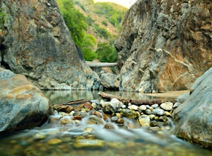
4.71 miIf you are in the Big Sur area during the summer, exploring the Big Sur River Gorge is a must! The gorge is located in Pfeiffer Big Sur State Park, and your closest parking will be day use parking lot 3. The trailhead to the gorge can be found at the northeast end of Pfeiffer Big Sur State Park C...Read more -
San Francisco, California
Take in a Sunset on Marshall's Beach
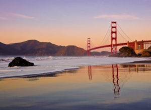
4.8If you're looking for one of the best views of the Golden Gate Bridge, Marshall's Beach gives you just that without the tourist crowds of Baker Beach.This small and hidden beach offers a narrow stretch of sand for those looking to throw a frisbee around or just hang out with friends. As it's tuck...Read more -
Del Monte Forest, California
Explore Highway 1 from Carmel to Big Sur
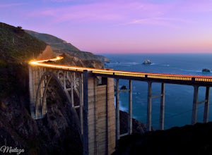
4.6Being from the Central Coast, every time I visit the area I like to do the same trip - Simply because it is amazing. The trip starts along 17 mile drive located in Carmel. From the road, you see the Central Coast icon, the Lone Cypress. Being one of the most photographed trees in North America, i...Read more -
Mariposa County, California
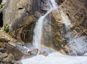
Lower Yosemite Falls
4.81.16 miAt 2,425 feet, Yosemite Falls is the highest waterfall in North America. The falls consists of three sections: Upper Falls, Middle Cascades, and Lower Falls. At 320 feet, Lower Yosemite Falls is one of the most popular attractions at Yosemite National Park. This 1-mile loop is a leisurely walk wi...Read more -
Mill Valley, California
Dipsea Trail
4.613.03 mi / 3701 ft gainThe Dipsea Race is the 2nd oldest foot race in the US. The race is named after the Dipsea Inn at the end of the trail at Stinson Beach. The good news is that you can enjoy this scenic trail and its sweeping ocean views at your leisure. The bad news is that the race is only one-way. If you choose,...Read more

