Wishon, California
Looking for the best hiking in Wishon? We've got you covered with the top trails, trips, hiking, backpacking, camping and more around Wishon. The detailed guides, photos, and reviews are all submitted by the Outbound community.
Top Hiking Spots in and near Wishon
-
Lakeshore, California
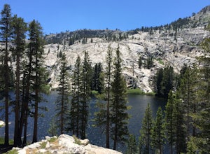
Backpack to Crater Lake, Sierra National Forest
8.4 mi / 2100 ft gainStarting at Lake Florence, this hike starts out with a climb up and keeps this up over the next 3 miles. After about 3 miles of climbing you reach another lake, Dutch Lake which provides shade and a nice place to rest. From there it's a relatively flat 1.2 miles in to your destination. Once at Cr...Read more -
Yosemite Valley, California
Hike to Hidden Falls (aka Tenaya Creek Falls)
4.2Also known as Tenaya Creek Falls or Three Chutes Falls, this spot is loved by locals and is definitely worth the hidden trail and scramble over rocks. The hike takes you along Tenaya Creek, Mirror Lake, and a boulder-filled canyon. Great for photos or for relaxing by some secluded falls. To get t...Read more -
Yosemite Valley, California
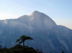
Hike to Basket Dome
9.45 miGetting There Starting in Yosemite Valley, head to the Snow Creek trailhead just past Muir Meadows. Start the hike early in the morning, since it gets pretty hot in the summer and the last part of the hike is in the sun. The Trail You'll hike more than 140 switchbacks to reach the top of Ba...Read more -
Yosemite Valley, California
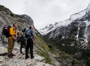
Snowshoe to Snow Creek
5.010.98 mi / 2700 ft gainTake the Valley shuttle to Mirror Lake Trailhead where you will begin your hike. After a flat 2 miles, you will begin the steep three miles up to snow creek as you take one switch back after the next. This steep climb will reward you with beautiful views of Tenaya Canyon and give you a differen...Read more -
37.739698,-119.564018
Snow Creek Trail
5.020.43 mi / 2700 ft gainThis is truly a beautiful hike. Although it’s not the easiest, you are rewarded by the views. From the Mirror Lake trailhead (shuttle stop #17), it is 0.9 miles to the Snow Creek trailhead and 1.7 miles to the Snow Creek overlook where you can camp in close proximity. Once you reach the top, you...Read more -
Yosemite Valley, California
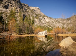
Mirror Lake
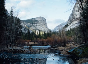
4.62.56 mi / 190 ft gainMirror Lake is a very popular spot in the Yosemite Valley and definitely a must see to check off your explore list. Crowds are much smaller if you go during the winter, but some parts of the water might be iced over. The trailhead you take to get there is well marked and can be found at the far ...Read more -
Mariposa County, California
Hike Old Big Oak Flat Road
4.1 mi / 1070 ft gainOld Big Oak Flat Road used to be one of the main entries into Yosemite Valley, before HWY 120, 140 and 41. It was a dangerous road which had to be realigned, reconstructed and maintained continuously and was eventually closed in the 1940’s after a giant rockslide made it completely irreparable. T...Read more -
Mariposa County, California
Backpack to Yosemite's Eagle Peak via Yosemite Falls
12.6 mi / 3779 ft gainGet a permit. Any overnight backpacking in Yosemite requires a permit from the Wilderness Center. Before you leave make sure to get one! Get a bear canister! Bears are active in Yosemite and all backpackers must take the required measures to keep food away from them! Start at Camp 4. Eagle Pe...Read more -
37.741904,-119.601967
Upper Yosemite Falls
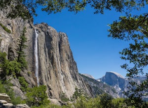
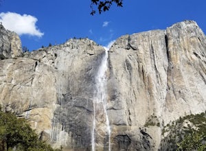
4.75.98 mi / 2700 ft gainYou can find the trailhead to Upper Yosemite Falls near Camp 4. There is plenty of free parking here and you can also take a shuttle to stop #7. Be sure to start this hike early in the day as it is strenuous and can get really hot as the day goes on. Bring plenty of water and snacks and take many...Read more -
Yosemite Valley, California
Hike the North Dome Loop via Yosemite Falls Trail
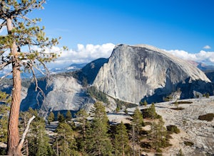
4.018 mi / 5200 ft gainOne ofthe most challenging and rewarding hikes on the northern rim of YosemiteValley. This is an alternative to the often crowdedMist, Panorama or 4-Mile Trails. Or if you are not able to grab a permit tohike Half Dome this is great choice. Some of the highlights include hiking tothe top of Nort...Read more -
Yosemite Valley, California
El Capitan Trail
5.014.68 mi / 5052 ft gainStart on the Yosemite Falls trailhead and work your way up. Yosemite Falls can be anywhere from a huge flow to a slow trickle depending on the time of year. Hiking boots are absolutely necessary and hiking poles are a huge benefit. Say hello to rock climbers at the top as they finish their El Cap...Read more -
Mariposa County, California
Yosemite Point
5.07.35 mi / 4354 ft gainStarting at the Yosemite Falls Trailhead in Yosemite Valley, the trek up to the Upper Yosemite Falls overlook has a steep 3,175 ft elevation gain across switchbacks, rocks, and gravelly trails. Hiking poles recommended, but not necessary. The trail to Yosemite Point beyond Upper Yosemite Falls ...Read more -
Yosemite Valley, California
Sentinel Meadow Cook's Meadow Loop Trail
4.51.99 mi / 85 ft gainThis short, easy walk provides some of the best views of several iconic Yosemite landmarks from the valley floor. If you complete the entire loop, expect to see Yosemite Falls from the Swinging Bridge, Half Dome from Sentinel Bridge (a popular spot at sunset), and the historic Yosemite Chapel. ...Read more -
Mariposa County, California
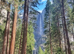
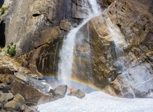
Lower Yosemite Falls
4.81.16 miAt 2,425 feet, Yosemite Falls is the highest waterfall in North America. The falls consists of three sections: Upper Falls, Middle Cascades, and Lower Falls. At 320 feet, Lower Yosemite Falls is one of the most popular attractions at Yosemite National Park. This 1-mile loop is a leisurely walk wi...Read more -
Yosemite Valley, California
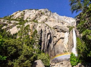
Photograph Moonbows at Yosemite Falls
1 miIn spring at Yosemite National Park, a unique phenomenon occurs, called “moonbows.” Seen during the full moon, moonbows are rainbows produced by light reflected off the surface of the moon, and are relatively faint and difficult to detect with the naked eye, but they do appear in long exposure ph...Read more -
Mammoth Lakes, California
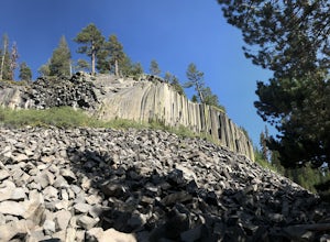
Devils Postpile Loop
5.01.28 mi / 243 ft gainDevils Postpile Loop is a loop trail that takes you by a river located near Mammoth Lakes, California.Read more

