Whittier, California
Looking for the best hiking in Whittier? We've got you covered with the top trails, trips, hiking, backpacking, camping and more around Whittier. The detailed guides, photos, and reviews are all submitted by the Outbound community.
Top Hiking Spots in and near Whittier
-
San Fernando, California
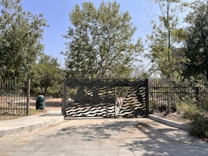
Pacoima Park Natural Wash Park
0.54 mi / 13 ft gainPacoima Park Natural Wash Park makes for a wonderful & pleasant walk. The entrance to the park is located at the corner of Newton St and 8th St and runs up to Foothill Blvd in San Fernando California. The park is ADA accessible and allows for dogs on leash. There are also picnic tables and dr...Read more -
Trabuco Canyon, California
The Luge: Santiago Truck Trail Loop
5.07.46 mi / 1371 ft gainThe Luge: Santiago Truck Trail Loop is a loop trail that takes you through a nice forest located near Lake Forest, California.Read more -
Laguna Beach, California
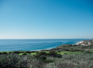
B.F.I. Trail in Crystal Cove State Park
5.00.78 mi / 125 ft gainTo get to the trailhead, enter Crystal Cove State Park through the Crystal Cove El Moro Campground entrance immediately next to El Moro Elementary School. Follow the road behind the school which leads to the main gate where you will need to pay a day-use parking fee of $15. Drive past the Campgr...Read more -
Laguna Beach, California
Crystal Cove Loop Trail
4.04.05 mi / 676 ft gainThe trail begins and ends at the El Moro Visitor Center. Parking requires either a $15 day use parking pass, which is available in the visitor center. This hike we are focusing on is called the Difficult Loop Trail and it is the third most difficult trail the canyon offers. You take Moro Canyon,...Read more -
Los Angeles, California
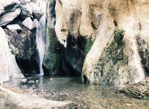
Santa Ynez Falls
3.52.25 mi / 243 ft gainThe Santa Ynez Canyon Trail is located 10 minutes away from the beach providing you the opportunity to do this hike early in the morning and spend the rest of the day hanging out at the beach. To get to the trailhead, take Vereda de la Montura Road until you reach the private residential area (th...Read more -
Azusa, California
Bighorn Mine Trail
5.03.69 mi / 607 ft gainIf you decide to head over to Wrightwood for some skiing during the winter, make sure to get a hike in while you’re at it. There are several trail systems along the Angeles Crest Highway (Hwy 2), and one of them is scenic Big Horn Mine Trail. The end point of the hike is the historic and abandone...Read more -
Azusa, California
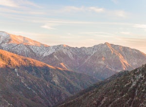
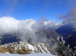
Summit Mt. Baden-Powell
5.07.86 mi / 2808 ft gainThis well maintained and well traveled trail is a popular route with day hikers, backpackers, and Pacific Crest Trail through hikers. Since the trail is on the face of the mountain, snow may linger late into the season. The Pacific Crest Trail is clearly marked on the western corner of the Vinc...Read more -
Laguna Beach, California
Hike Willow Canyon, Laguna Coast Wilderness Park
5.06.7 mi / 1208 ft gainThis hike has been a must do since I was young. Do you love scenic views of the ocean and wildlife? You'll see plenty of both, from hawks searching for food to squirrels and deer running through the brush. This is my favorite route in this area but there are plenty of other trails to shorten or a...Read more -
Pearblossom, California
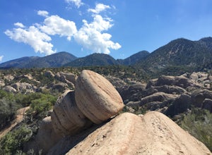
Devil's Punchbowl and Devil's Chair
4.57.37 mi / 1870 ft gainWhat a hidden gem! A martian landscape full of faultline desert rock formations and joshua trees against a mountainous backdrop of the San Gabriels. Devil's Punchbowl Natural Area features a 1 mile well-marked, well-maintained single track loop trail inside the Punchbowl (great for kids) and a 7 ...Read more -
Aliso Viejo, California
Top of the World via West Ridge Trail
5.04.76 mi / 443 ft gainDirections to get here are pretty straight forward via the map. You park your car in a residential neighborhood along the street, and from there, you can't miss the entrance. The trail is paved for the first 100yds or so and after you make a right turn at the top, you'll be on dirt and sand the r...Read more -
Laguna Beach, California
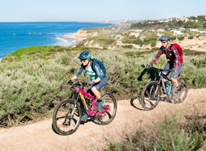
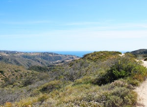
Emerald Canyon & Bommer Ridge Loop
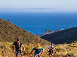
5 mi / 873 ft gainThere a numerous trails in the Laguna Coast Wilderness that proceed up and along the ridges and down into the canyons (or the reverse), and are quite popular for mountain biking, hiking, and trail running. A great mountain biking loop begins in Emerald Canyon at the end of Emerald Canyon Road an...Read more -
Los Angeles, California
Reseda Pond Path
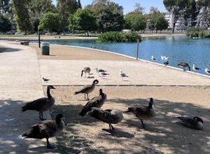
1.00.3 mi / 0 ft gainReseda Pond Path is a loop trail that takes you by a lake located near Reseda, CaliforniaRead more -
Los Angeles, California
Hike to Vanalden Vista
2 mi / 300 ft gainTo get to the trailhead take Vanalden Ave until it dead ends. Follow the trail at the end of the road as it winds up into the mountains and to the left. You can easily find the trail on Google Maps, so you can use this as a guide. The trail will fork to the left after half a mile. The trail, Vana...Read more -
Laguna Beach, California
Trail Run the Boat Road and Laguna Ridge
4.34 mi / 600 ft gainThere a numerous trails in the Laguna Coast Wilderness that proceed up and along the ridges and down into the canyons (or the reverse), and most are excellent for trail running, hiking, and mountain biking. A classic out-and-back (with many options for loops) begins at the end of Dartmoor Street ...Read more -
Topanga, California
Eagle Rock in Topanga State Park
4.45.99 mi / 1106 ft gainEagle Rock is located in Topanga State Park in the Santa Monica Mountains, and it is a unique formation that provides an amazing panoramic view of Santa Monica. On a clear day, the Catalina Islands and Palos Verdes Peninsula are visible. You can park on along the street of Entrada Rd. or pay $10 ...Read more -
Topanga, California
Parker Mesa Overlook via Trippet Ranch
4.06.75 mi / 1181 ft gainThis is a 6.8 mile round-trip hike that starts at Trippet Ranch in Topanga Canyon. Even though the range in elevation is 400 feet from peak to trough, the up and down trail totals to approximately 1800 feet elevation gain making this a beginner to intermediate adventure. The trail itself is pre...Read more

